- Nag Tibba
-
Nag Tibba Location in northern India
 Nag Tibba
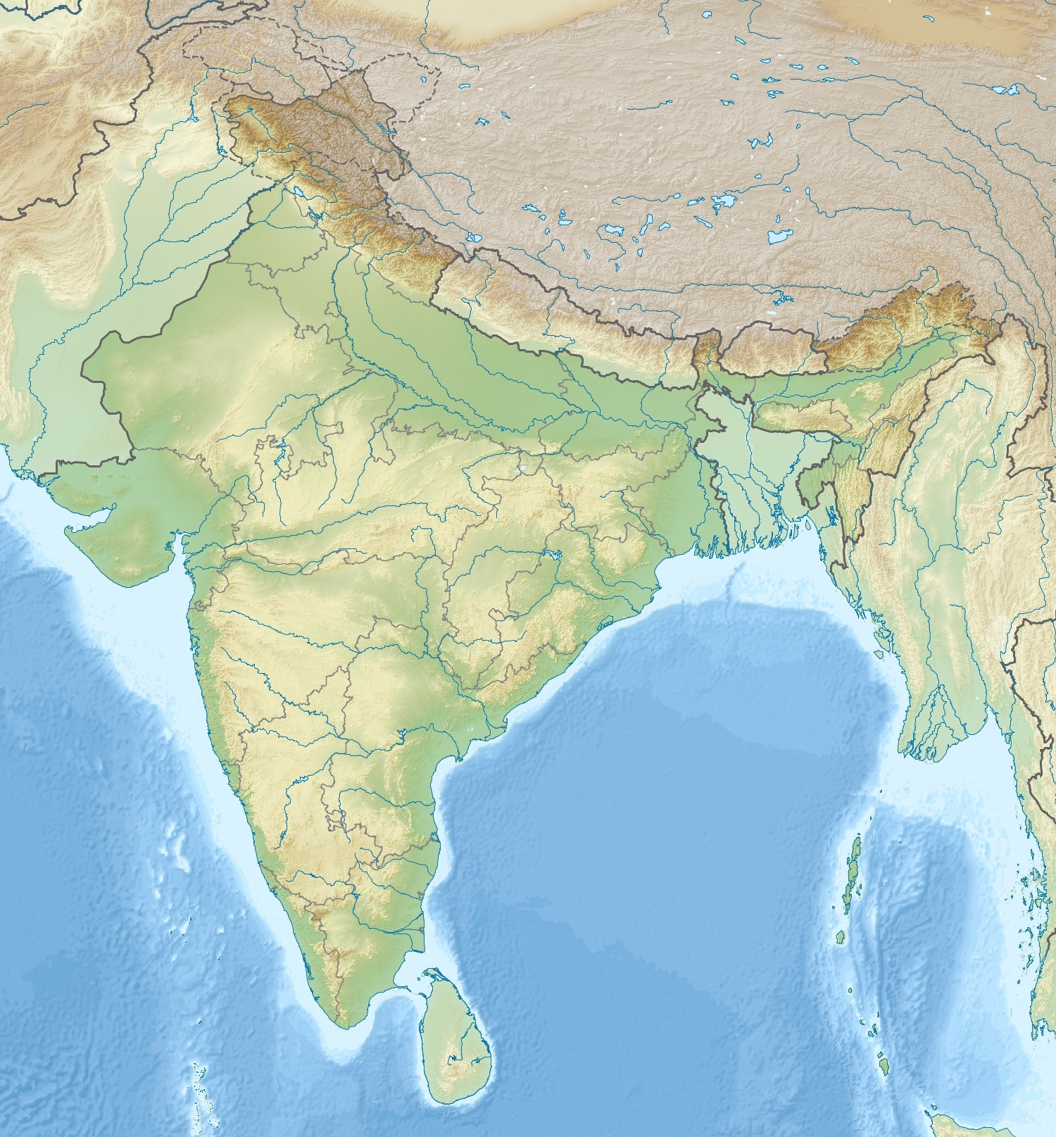
Elevation 3,022 m (9,915 ft) Location Location Uttarakhand, India Range Garhwal Himalaya Coordinates 30°35′11″N 78°9′4″E / 30.58639°N 78.15111°ECoordinates: 30°35′11″N 78°9′4″E / 30.58639°N 78.15111°E Nag Tibba ('Serpent's Peak'), 3,022 metres (9,915 ft), is the highest peak in the lesser himalayan region of Uttarakhand state (Garhwal Division), and lends its name to the 'Nag Tibba Range', itself the next-northerly of the five folds of the Himalaya. It is situated 16 km (9.9 mi) away from Landour cantonment, and around 57 km from Mussoorie in Tehri Garhwal region of Uttarakhand. The 'Nag Tibba Range' is amongst three principal ranges of the Lesser Himalayas, which includes the Dhauladhar, and the Pir Panjal, which branched off from the Great Himalayas[1][2]
Contents
Importance of the place
It is said to be domicile of Nag Devta from which its gets its name, as 'Tibba' is a local word for hill/peak. Local villager used to come here to offer their prayer to Nag Devta for the protection of their cattle. Among trekkers and adventure lovers this place is heaven as the height of this place 3048m. Winters are chilly and summers are pleasant which makes it one of attractive place for camping.
About Trek
Trek for the place start from Devalsari where one can stay in 'Forest Guest House' by taking permission from 'Mussorie Forest office'.Other way to reach here is from 'Panthwari' but that is little complex to reach from 'Mussoorie'.Nag tibba is around 13 km from Devalsari while one can go further 3 km for Nag tibba top where you can take a view of Himalayas.
If you are planning to come here for trekking either you have to stay night at top and for that you need all camping stuff because there is no accommodation at the place. The only nearest accommodation is Devalsari guest house. Or you can come back within a day but that is very hectic.One thing important to note is there is very less sources of water available on the way so it will be better if you can carry required amount of water with you on the trek.
The trek through Nag Tibba Range, finds mention in Seven Years in Tibet book, which chronicles the journey of mountaineers, Heinrich Harrer, Peter Aufschnaiter in May 1944, towards Tibet.
How to Reach
To reach Devalsari take a direct jeep. Alternatively, take any bus or jeep going down the Tehri Road and get off at Suwakholi (10 km east). The side-road to Thatyur starts here; take the first jeep going that way (21 km north).All eastbound buses/jeeps leave Mussoorie from the Community Hospital on Tehri Road.
References
External links
Categories:- Mountains of Uttarakhand
- Tourism in Uttarakhand
- Dehradun
Wikimedia Foundation. 2010.