- Mynydd Llysiau
-
Mynydd Llysiau 
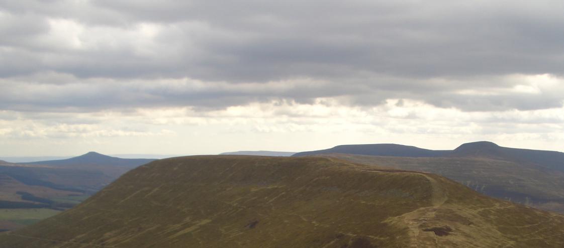
Mynydd Llysiau from near Waun Fach. Behind are: Sugar Loaf (left) Pen Allt-mawr (right)Elevation 663 m (2,175 ft) Parent peak Waun Fach Listing Hewitt, Nuttall Translation mountain of the fruit (Welsh) Location Location Black Mountains, South Wales Topo map OS Landranger 161 OS grid SO215300 Mynydd Llysiau is a subsidiary summit of Waun Fach in the Black Mountains in south-eastern Wales. It lies halfway between Waun Fach and Pen Allt-mawr. It is a distinguished summit with a steep eastern face.
The summit, marked by a pile of stones, is long grassy ridge. To the south is Pen Twyn Glas, before which are two boundary stones that resemble grave stones.[1]
References
- ^ Nuttall, John & Anne (1999). The Mountains of England & Wales - Volume 1: Wales (2nd edition ed.). Milnthorpe, Cumbria: Cicerone. ISBN 1-85284-304-7.
External links
Categories:- Hewitts of Wales
- Mountains and hills of south Wales
- Nuttalls
- Mountains and hills of Powys
- Black Mountains, Wales
Wikimedia Foundation. 2010.