Mutton Brook

Mutton Brook
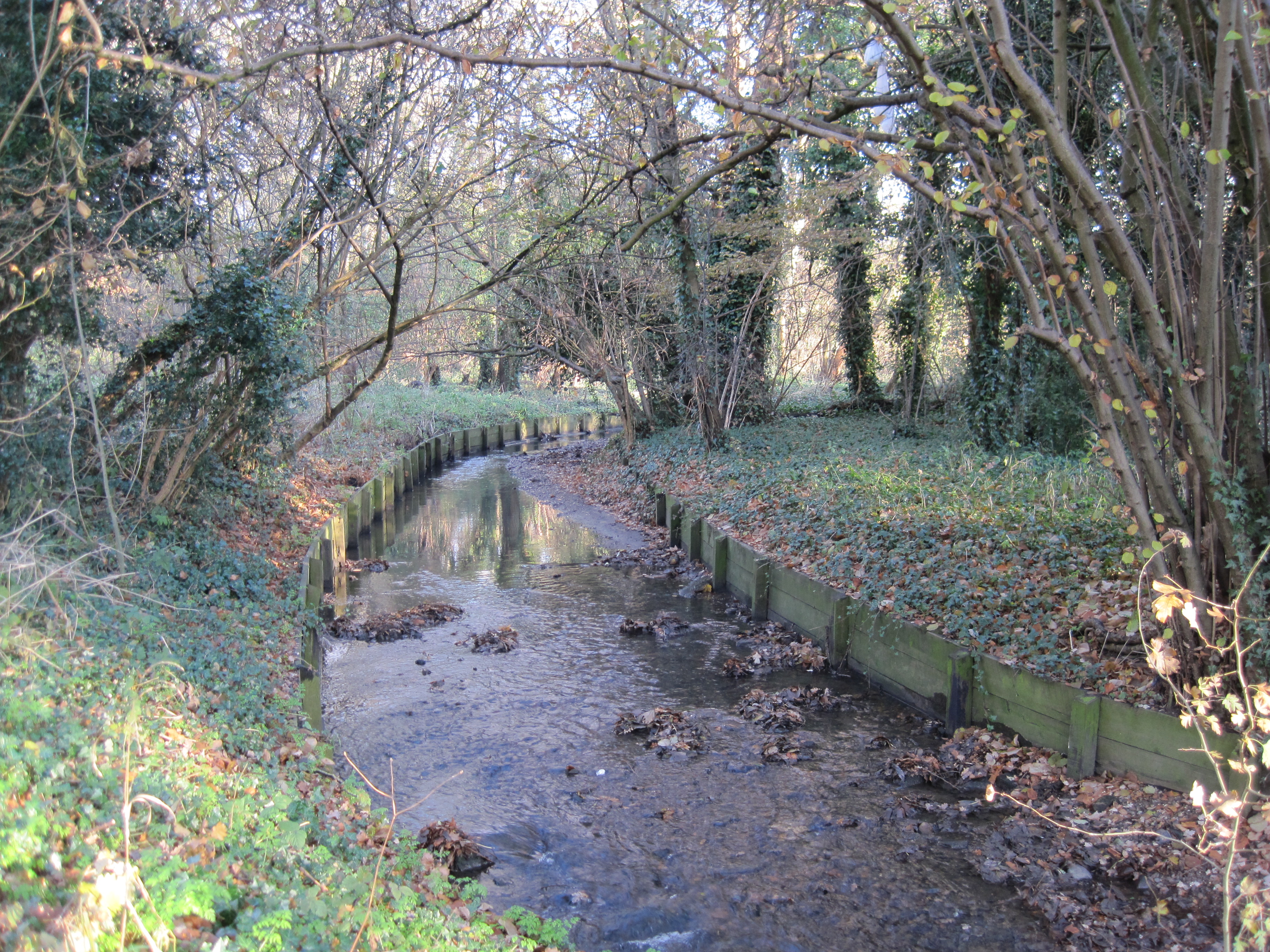
Mutton Brook in Brookside Walk
Mutton Brook in Northway Gardens

Mutton Brook is a stream which runs between East Finchley and Hendon in the London Borough of Barnet. It is a tributary of the River Brent, which is itself a tributary of the River Thames.

The Brook rises in Cherry Tree Wood[1] and flows underground to emerge at the back of Belvedere Court, Lyttleton Road. It then passes under Lyttleton Road and flows along the south side of the road and Falloden Way through Lyttleton Playing Fields, Fletchers Gardens and Northway Gardens. Near Brookland Rise, it crosses briefly to the north side of Falloden Way before crossing back to Brookside Walk. It passes under Finchley Road at Henlys Corner and then under the North Circular Road to meet Dollis Brook close to Bridge Lane. The two brooks then become the River Brent.

The brook is confined in a concrete or wood channel along the whole of its length, and the water quality is often poor. However, from Lyttleton Playing Fields to the junction with Dollis Brook its route is almost all through local parks. The downstream section is lined by oak, ash and willow trees, providing a good habitat for birds, and it is a Local Nature Reserve.[2]

Until 1965, Mutton Brook was the southern boundary of the Municipal Borough of Finchley.

The Capital Ring and Dollis Valley Greenwalk follow Mutton Brook.

See also

External sites

References

Coordinates: 51°35′14″N 0°12′38″W / 51.58721°N 0.21049°W / 51.58721; -0.21049


Wikimedia Foundation. 2010.

Игры ⚽ Нужен реферат?

Look at other dictionaries:

  • Dollis Brook — A footbridge over Dollis Brook in Windsor Open Space, Finchley 2009 …   Wikipedia

  • Dollis Valley Greenwalk — The Dollis Valley Greenwalk s logo, a white arrow on green, marks the route Length 10 miles (16 km) Location London Borough of Barnet, England …   Wikipedia

  • River Brent — Geobox|River name = Brent native name = other name = other name1 = image size = image caption = Brent River at Brentford etymology = country country = England country1 = state = state1 = region type = Counties region = Greater London region1 =… …   Wikipedia

  • Nature reserves in Barnet — is a table of Local Nature Reserves (LNRs) listed on the Mayor of London s Wildweb website[1] which are wholly or partly in the London Borough of Barnet. Most of them are described as Sites of Nature Conservation Importance instead of LNRs in… …   Wikipedia

  • London — Die Buchstaben und Zahlen zwischen den Linien | H6 | bezeichnen die Quadrate des Planes. Abbeyfield RoadH6 Abbey RoadA1, 2 – StreetG2, 3; G5 Abercorn PlaceA2 Acacia RoadAB1, 2 AchillesB5 Acton StreetDE2 Adam StreetH5 Addington SquareF7 Adelaide… …   Meyers Großes Konversations-Lexikon

  • A1 road (London) — UK road routebox road= A1 caption= The current route of the A1 (red) and the historic route of the Great North Road (blue) length mi= length km= direction= North South start= City of London destinations= Holloway end= Bignell s Corner… …   Wikipedia

  • Capital Ring — Infobox Hiking trail Name=Capital Ring Photo=Signs at Woolwich Foot Tunnel.jpg Caption=The Capital Ring sign at the southern entrance to Woolwich foot tunnel Location=Greater London Designation=UK National Trail Length=Convert|120|km|mi|0 (see… …   Wikipedia

  • History of East Finchley — East Finchley is a place in the London Borough of Barnet in London, England.East End Road East End Road is the main route from East Finchley to Church End Finchley. It may have originally been the route from the hamlet of Church End Finchley to… …   Wikipedia

  • Cherry Tree Wood — is a park and a remnant of ancient woodland[1][2] (which was known as Finchley Wood[3]) in East Finchley, in the London Borough of Barnet. It is a Local Nature Reserve.[4] Located next to East Finchley tube station, it is …   Wikipedia

  • Medway watermills (lower tributaries) — River Medway (lower tributaries) Legend …   Wikipedia

Share the article and excerpts

Direct link
Do a right-click on the link above
and select “Copy Link”