- Muan Tideland
-
Muan Tideland IUCN Category IV (Habitat/Species Management Area)Location within South Korea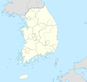

Location Jeollanam-do, South Korea Nearest city Muan Coordinates 35°04′34″N 126°22′30″E / 35.076°N 126.375°ECoordinates: 35°04′34″N 126°22′30″E / 35.076°N 126.375°E[1] Area 35.6 km2 (13.7 sq mi) Muan Tideland is a tideland of 35.6 km2 (13.7 sq mi) located in Muan Hyunkyungmeon, South Korea. Among many tidelands, Muan Tideland is first to be designated as provincial park. It is a wetland designated as Ramsar wetland and as a wetland protected area.
Current status
Hampyong Gulf, where Muan tideland is located, has a narrow mouth and a large inner part. The length of the gulf is 17 kilometres (11 mi), its width 1.8 kilometres (1.1 mi), and its area is 344 km2 (133 sq mi). Due to effects of sand dunes and naturally eroded soils, Muan tideland consists of special geological features. At the edge of the tideland is an alluvial bed and well-developed sea cliff.
Muan tideland is a place where diverse ecology can be seen. With its shallow water and complicated coastline, Muan is a perfect place for many species to prosper. With many sea organisms, Muan is a tideland ecology sightseeing resort. Muan tideland was designated as Ramsar Convention wetland in January 2008.
Organisms in Muan
Plants
- Zoysiagrass (Zoysia sinica)
- Foxtail (diaspore) (Setaria viridis)
- Wild oat (Avena fatua)
- Curled Dock (Rumex crispus)
- Sea blite (Suaeda asparagoides)
- 12 other halophytes and 79 inner water living species
Birds
- Eastern curlew (Numenius madagascariensis )
- Long-billed Plover (Charadrius placidus)
References
Categories:- IUCN Category IV
- Ramsar sites in South Korea

Wikimedia Foundation. 2010.