Mount Tregear

Mount Tregear
Mount Tregear
Mount Tregear is located in New Zealand
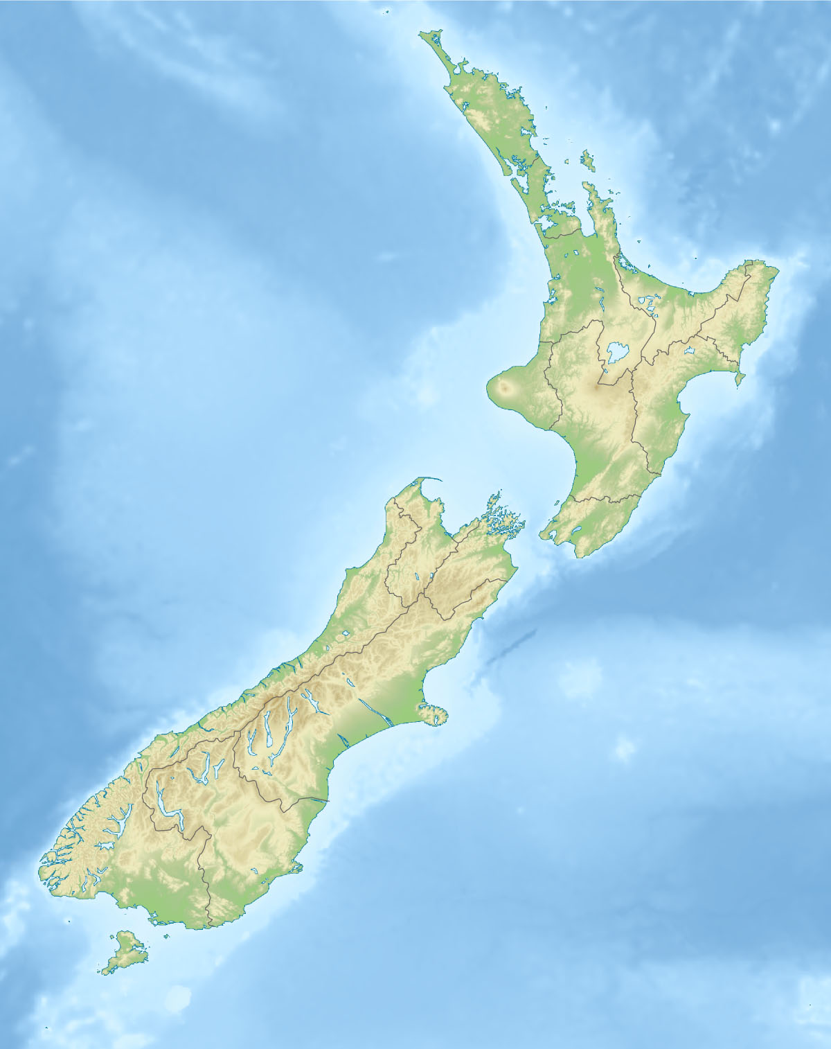
Mount Tregear
South Island, New Zealand
Elevation 2,042 m (6,699 ft)
Location
Range Southern Alps
Coordinates 43°5.323′S 171°8.7′E / 43.088717°S 171.145°E / -43.088717; 171.145Coordinates: 43°5.323′S 171°8.7′E / 43.088717°S 171.145°E / -43.088717; 171.145

Mount Tregear, is a 2042 m mountain in New Zealand's South Island.

Mount Tregear is on the main divide at the head of the Mathias River of New Zealand's Southern Alps. It is located 38 kilometres southwest of Arthurs Pass. It is named after Edward Robert Tregear.

References

"Place Name Detail: Mount Tregear". New Zealand Geographic Placenames Database. Land Information New Zealand. http://www.linz.govt.nz/placenames/find-names/topographic-names-db/database/index.aspx?p=. Retrieved 21 August 2010. 

LINZ (2010): Topo50 map BV19 - Lake Kaniere}}


Wikimedia Foundation. 2010.

Игры ⚽ Нужно сделать НИР?

Look at other dictionaries:

  • Mount Druitt, New South Wales — Mount Druitt Sydney, New South Wales The Manse (mid 1880s) Population …   Wikipedia

  • Tregear, New South Wales — Infobox Australian Place | type = suburb name = Tregear city = Sydney state = nsw caption = lga = City of Blacktown postcode = 2770 pop = 3813 area = 163 propval = stategov = Mount Druitt fedgov = Chifley near nw = North St Marys near n =… …   Wikipedia

  • Mount Druitt railway station — Mount Druitt …   Wikipedia

  • Mount Druitt railway station, Sydney — Cityrail Station alt|station name=Mount Druitt servicearea=Western Line|servicearea color=#Western line colour|servicearea textcolor=black code=MTT|suburb=Mount Druitt|street=North Pde|distance=43.29|altitude=?|traintype=Suburban all stops… …   Wikipedia

  • City of Blacktown — This article is about the local government area. For the electoral district, see Electoral district of Blacktown. For the suburb, see Blacktown, New South Wales. City of Blacktown New South Wales …   Wikipedia

  • Christianity in Cornwall — Remains of St Piran s Old Church, Perranzabuloe …   Wikipedia

  • Bus routes in Sydney — Bus routes in Sydney, Australia are numbered with three digits, the first digit referring to the region in which the bus route primarily operates.Northern BeachesBus services between the Northern Beaches region of Sydney and the central business… …   Wikipedia

  • Māori language — Te Reo redirects here. For the television channel, see Te Reo (TV). Māori Māori Spoken in New Zealand Region Polynesia Ethnicity Māori …   Wikipedia

  • Emerton, New South Wales — Infobox Australian Place | type = suburb name = Emerton city = Sydney state = nsw caption = lga = City of Blacktown postcode = 2770 est = pop = 2,307 (2001 census) area = 0.8 propval = [http://www.domain.com.au/Public/SuburbReport.aspx?suburb=Emer… …   Wikipedia

  • Sooty Tern — Onychoprion fuscatus nubilosus (or O. f. oahuensis) on Tern Island (French Frigate Shoals) Conservation status …   Wikipedia

Share the article and excerpts

Direct link
Do a right-click on the link above
and select “Copy Link”