- Mount Reece
-
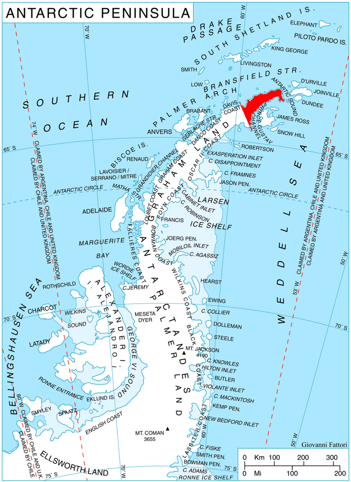
 Location of Trinity Peninsula.
Mount Reece (63°50′S 58°32′W / 63.833°S 58.533°W) is a sharp, ice-free peak, 1,085 m, standing 4 nautical miles (7 km) west of Pitt Point. It is the second highest point of Kondofrey Heights forming the south wall of Victory Glacier on the south side of Trinity Peninsula. Charted in 1945 by the Falkland Islands Dependencies Survey (FIDS) and named for Alan Reece, leader of the FIDS Deception Island base in 1945, and meteorologist and geologist at the Hope Bay base in 1946. Reece, a member of the Norwegian-British-Swedish Antarctic Expedition (NBSAE), 1949–52, was killed in an airplane accident in the Canadian Arctic in 1960.
Map
- Trinity Peninsula. Scale 1:250000 topographic map. Institut für Angewandte Geodäsie and British Antarctic Survey, 1996.
References
 This article incorporates public domain material from the United States Geological Survey document "Mount Reece" (content from the Geographic Names Information System).
This Trinity Peninsula, Antarctica, location article is a stub. You can help Wikipedia by expanding it.