- Mount Gozur
-
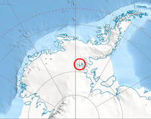 Location of Sentinel Range in Western Antarctica.
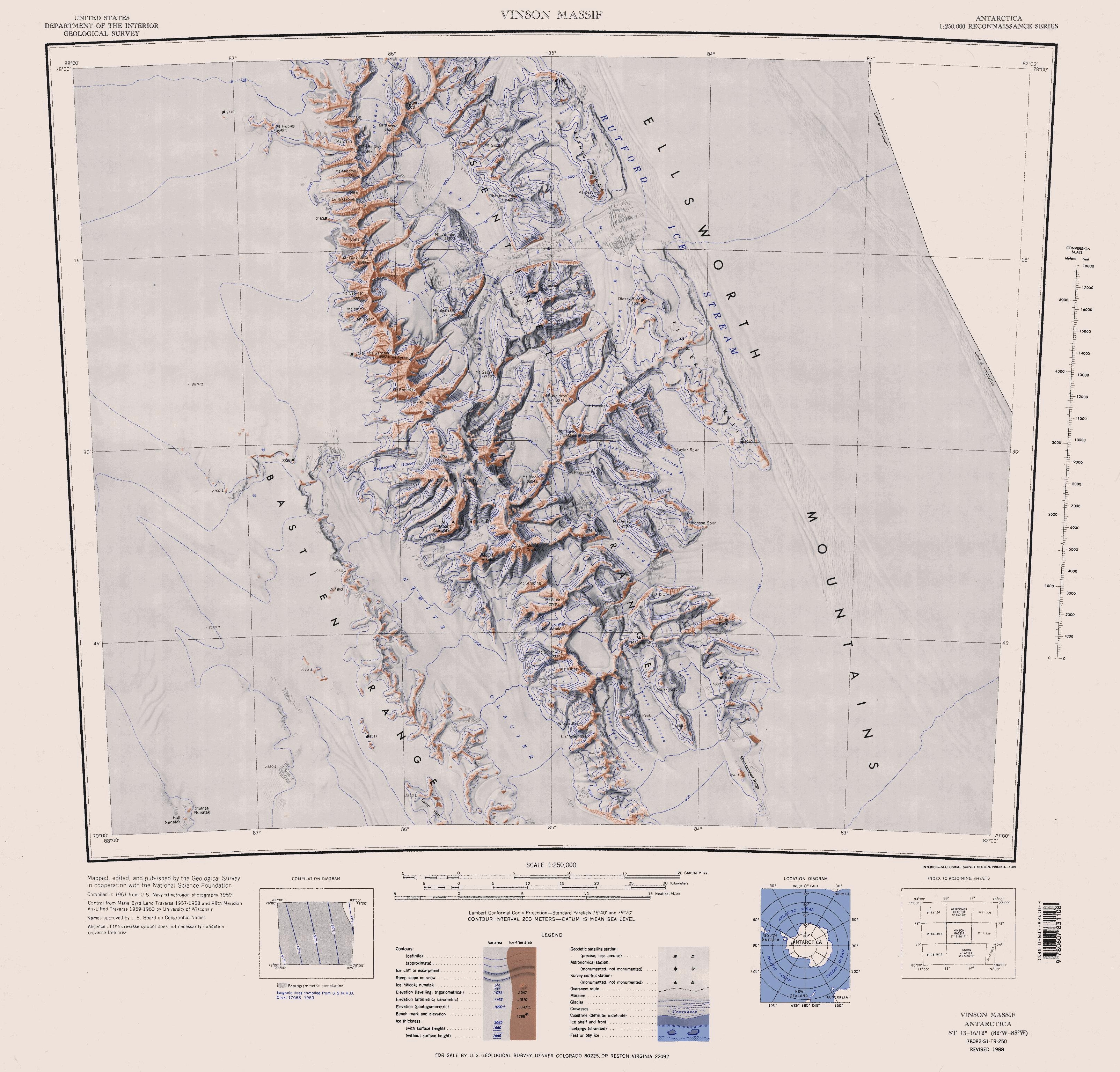
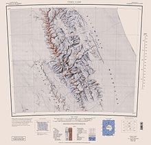 Sentinel Range map.
Mount Gozur (78°7′S 85°30′W / 78.117°S 85.5°W) is a mountain (2,980 m) in Maglenik Heights, central Sentinel Range in Ellsworth Mountains, Antarctica, situated just northwest of the head of Young Glacier and 9 nautical miles (17 km) east of Mount Bentley. First mapped by United States Geological Survey (USGS) from surveys and U.S. Navy air photos, 1957-59. Named by Advisory Committee on Antarctic Names (US-ACAN) for Captain Alexander Gozur, United States Air Force (USAF), who participated in establishing the South Pole Station in the 1956-57 season.
Maps
- Vinson Massif. Scale 1:250 000 topographic map. Reston, Virginia: US Geological Survey, 1988.
References
 This article incorporates public domain material from the United States Geological Survey document "Mount Gozur" (content from the Geographic Names Information System).
This Ellsworth Land location article is a stub. You can help Wikipedia by expanding it.