- Moshulatubbee District
-
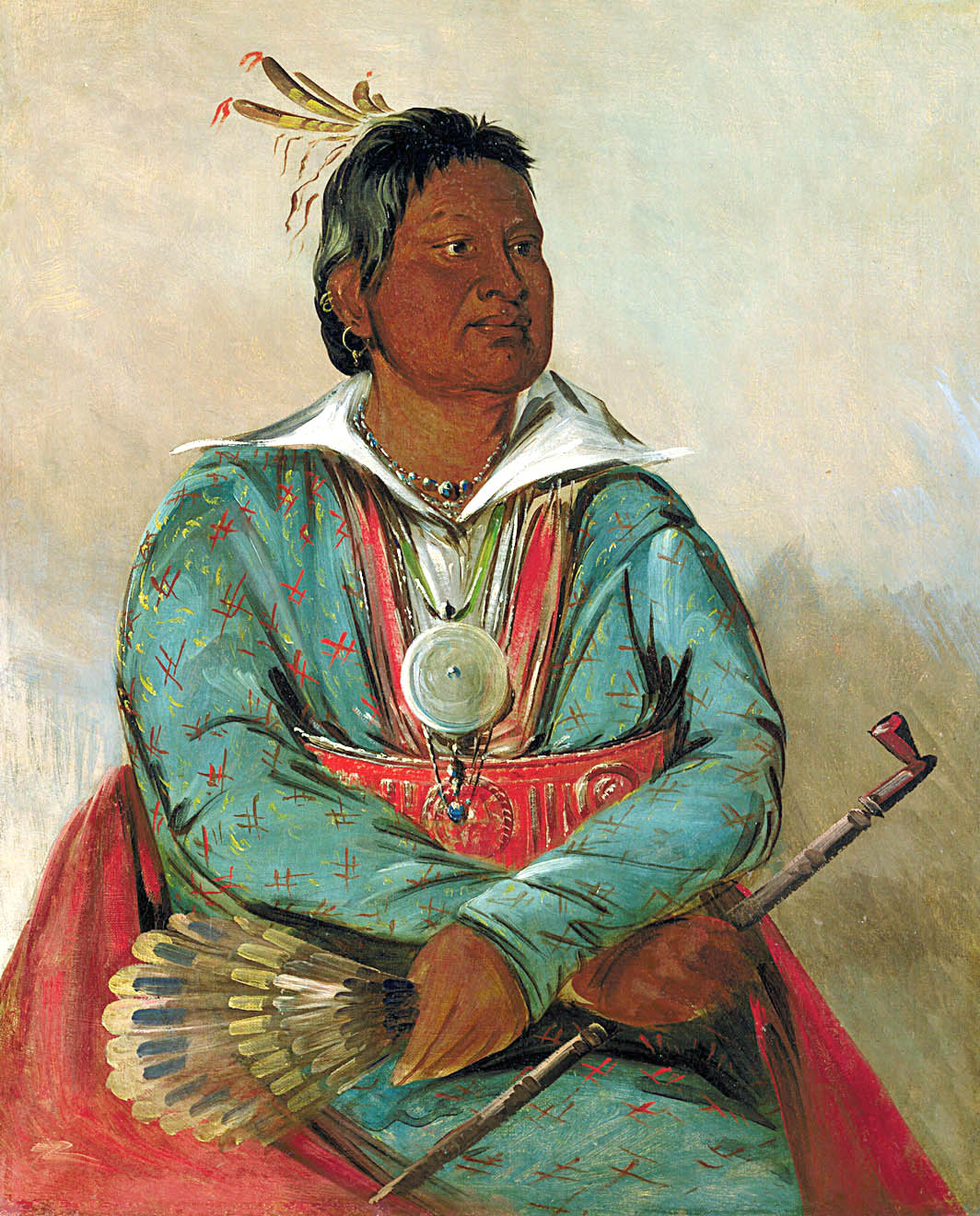
Mushulatubbee 
Mosholatubbee, painted by George CatlinMoshulatubbee District was one of three administrative super-regions comprising the former Choctaw Nation in the Indian Territory. Also called the First District, it encompassed the northern one-third of the nation.
The Moshulatubbee District was named in honor of Chief Moshulatubbee, a Choctaw Indian warrior and statesman. Moshulatubbee was chief of the Okla Tannap ("Lower Towns") District in the original Choctaw Nation, and many Choctaws who remembered those times referred to the Moshulatubbee District as the Okla Tannap District. The other two districts were the Apukshunnubbee District and Pushmataha District.[1]
The districts were established when the Choctaw Nation relocated via the Trail of Tears to the Indian Territory, present-day Oklahoma, and were originally intended to provide homes for settlers from the three major clans or groupings of Choctaw Indians comprising the nation. However, in practice, the clan affiliations and allegiances were soon lost after the Choctaws’ arrival in the Indian Territory. The districts’ importance in the political life of the nation waned, over time, and the district chiefs lost power and authority to the principal chief of the nation. Eventually the principal chief became, in simply, the chief. No longer a "first among equals", he became the sole political leader.
In judicial affairs, however, the three districts and their seats of government retained their historic influence. Crimes and criminals not tried at the county level were bucked to the district level automatically, and court days were the busiest days of the year in the district seats of government.
Moshulatubbee District’s administrative seat of government was Gaines Court House, which also doubled as the county seat of Gaines County. The court house was northeast of modern-day McAlester, Oklahoma.
Included in the Moshulatubbee District were the Choctaw counties of Gaines, Sans Bois, Skullyville, Sugar Loaf, and Tobucksy.[2]
As Oklahoma's statehood loomed the Moshulatubbee District, and its constituent counties, slowly wound down their governmental functions as the United States Courts in the Indian Territory usurped their powers. On November 16, 1907, Oklahoma’s Statehood Day, the district and its counties disappeared forever.
The territory of the former Apukshunnubbee District is incorporated principally into the present-day Oklahoma counties of Haskell, Hughes, Latimer, Le Flore, and Pittsburg.[3]
References
Categories:
Wikimedia Foundation. 2010.