- Moose Factory Island
-
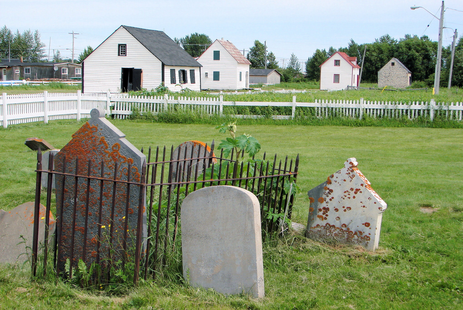
Moose Factory Island 
Moose Factory Centennial ParkGeography Coordinates 51°15′45″N 80°36′00″W / 51.2625°N 80.6°WCoordinates: 51°15′45″N 80°36′00″W / 51.2625°N 80.6°W Area 5.25 km2 (2.027 sq mi) Length 4.1 km (2.55 mi) Width 1.4 km (0.87 mi) Coastline 9.5 km (5.9 mi) Highest elevation 5.5 m (18 ft) Country CanadaProvince Ontario District Cochrane Largest city Moose Factory Demographics Population 1458 Moose Factory Island is an island in the Moose River, Ontario, Canada, about 16 kilometres (10 mi) from its mouth at James Bay. It is adjacent to the community of Moosonee across the Moose River, from which it is accessible by water taxi.
The island is home to the community of Moose Factory. This town is associated with the entire island, but politically, the island is divided into two entities:[1]
- Factory Island 1 - Indian reserve that makes up the northern two-thirds of the island, belonging to the Moose Cree First Nation (population: 1451).
- Unorganized Cochrane District - Unincorporated southern third, home to the old Hudson's Bay Company post and government services, governed by the provincial Local Services Board and the federal Weeneebayko Health Ahtuskaywin that administers the hospital (population: 1007).
Moose Factory Island is part of the poorly drained, sparsly forested Hudson Bay Lowlands. It is flat and made up of marine clay, underlain by sedimentary rocks, mainly limestone, dolomite and shale. Being situated close to James Bay, Moose Factory Island is affected by the Arctic tides which rise and fall twice daily, varying as much as 2.5 metres (8.2 ft) from high to low tide.[1]
References
- ^ a b Wakenagun Community Futures Development Corporation - Moose Factory Community Profile
Categories:- Islands of Ontario
- River islands
- Northern Ontario geography stubs
Wikimedia Foundation. 2010.