- Moor Allerton
-
Coordinates: 53°50′46″N 1°32′13″W / 53.846°N 1.537°W
 Black Moor Estate

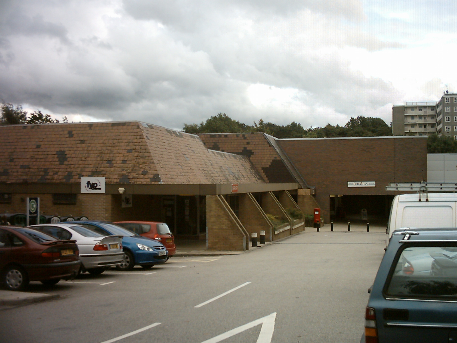
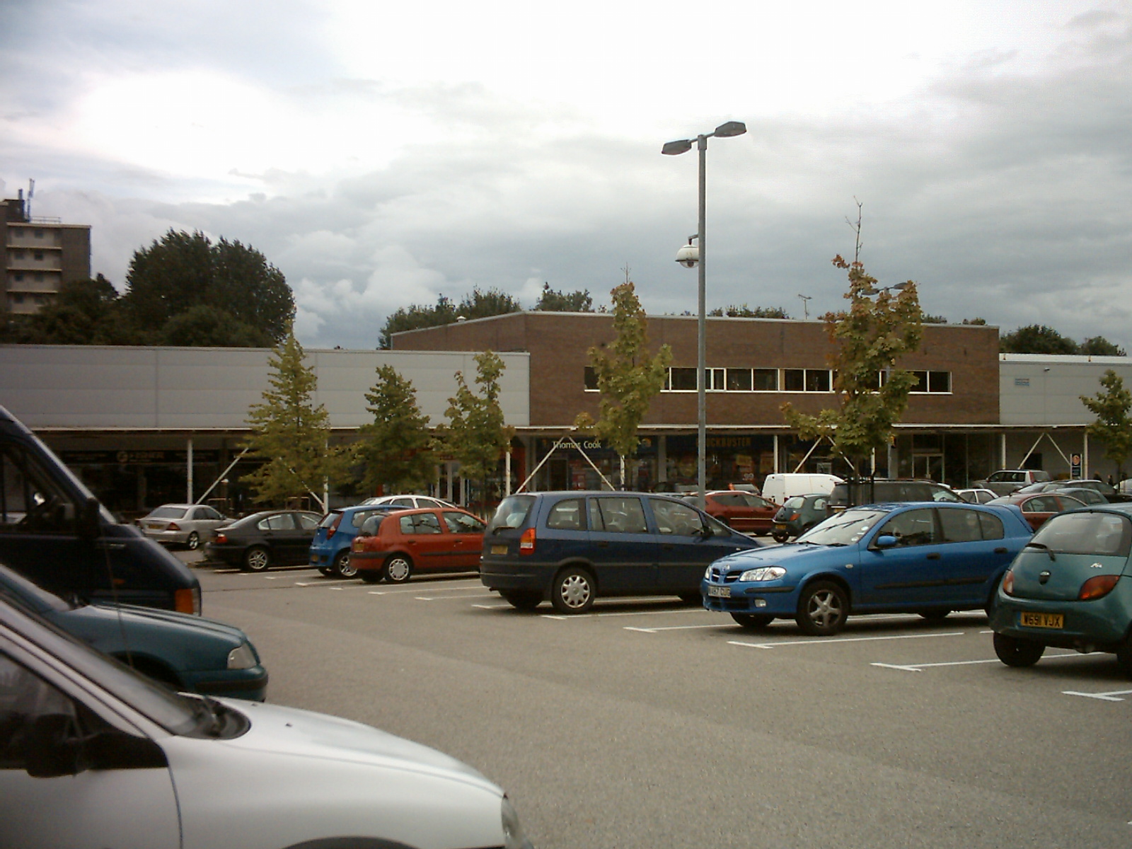
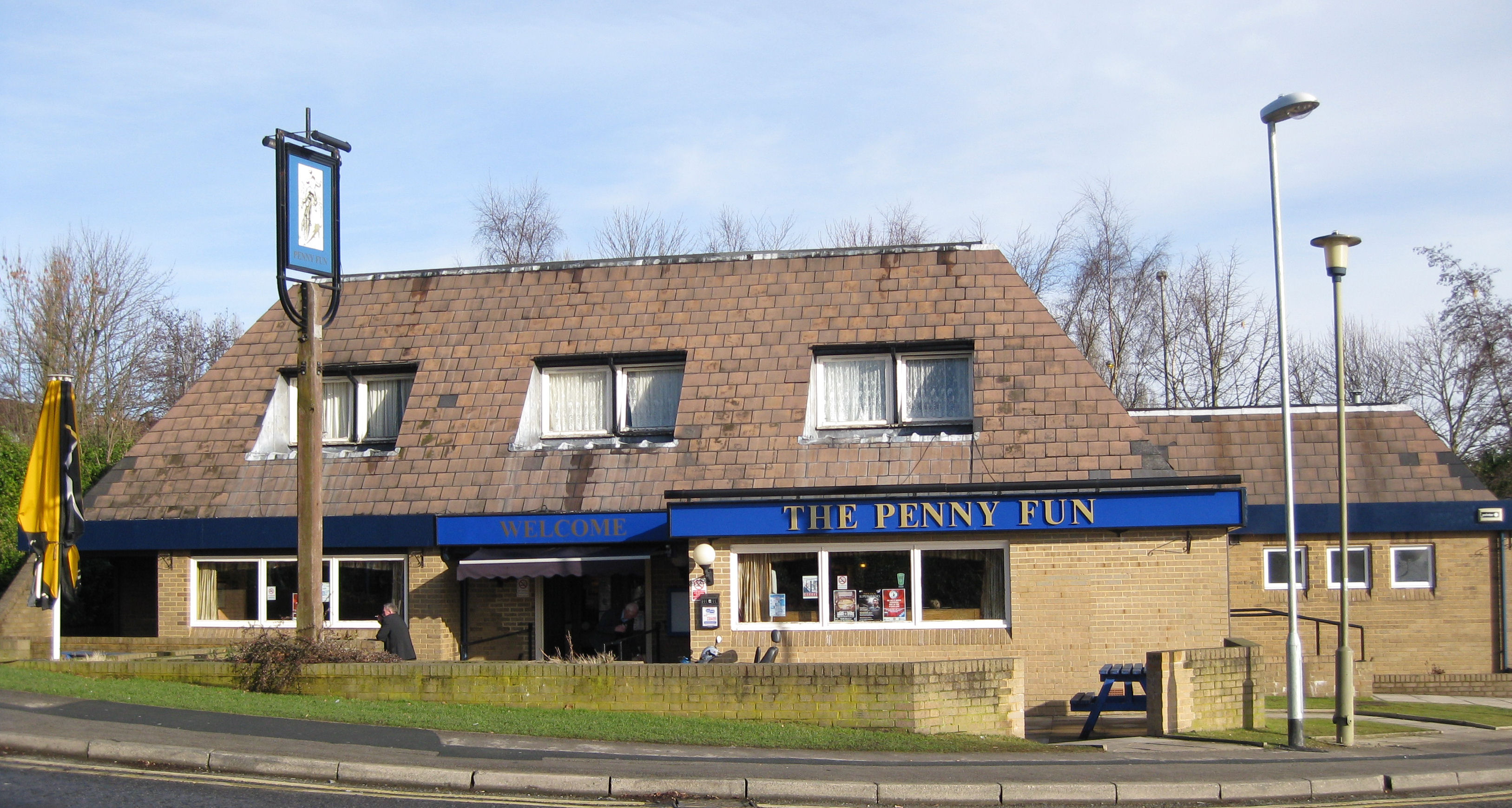
Moor Allerton is an area of Leeds, West Yorkshire, England. The area is situated in North Leeds, near to King Lane and the Leeds Outer Ring Road. The area is mainly made up of post war council housing and has a good reputation. This combined with relatively low house prices has made the area popular with first time buyers. In the 1990s much of the area's Shopping Centre was rebuilt. It now has a large Sainsbury's ,a Homebase a Comet, a newsagency, several other retailers, a library and a public house called The Penny Fun.[1] The centre has previously had a Jones of Oakwood (electronic retailers) and a Burger King.[2][3] The earlier part of the centre was opened by Mr Arthur Craven (director of library services) on the 5 March 1982.[4][5] By 1985 the library had become the busiest branch library in Leeds.[6]
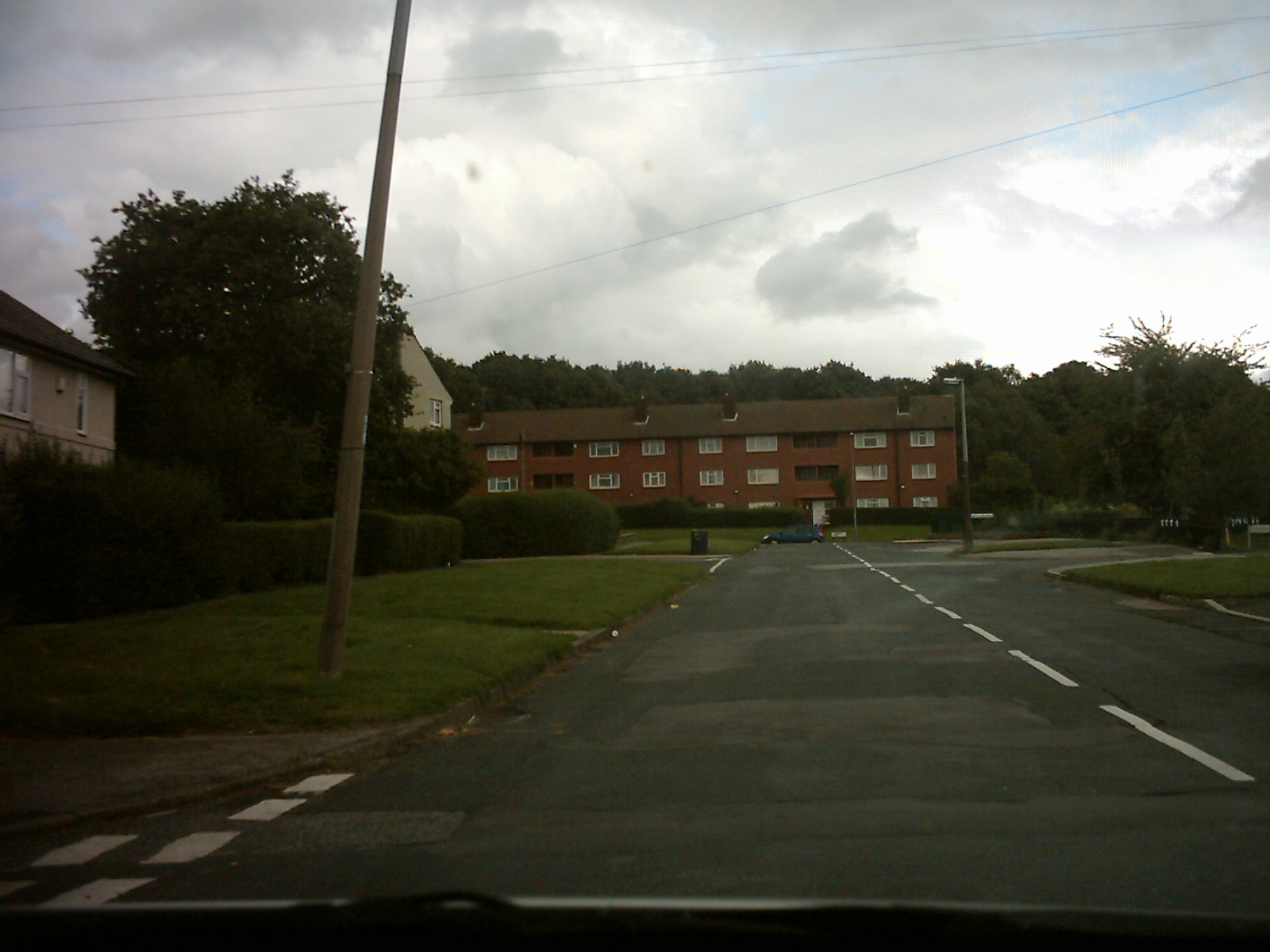
Moor Allerton is situated along King Lane[7], on the outside of the Outer Ring Road. To the West of King Lane is the Black Moor Estate and to the East is the Ling Field Estate, Lingfield Towers, however lies within the Outer Ring Road. The Black Moor Estate has its own amenities. There is a public house called the Cranmer Bank as well as a parade of shops with a post office a Happy Shopper, charity shops, a Chinese and an Italian takeaway. Moortown Social Club is situated on Cranmer Gardens.[8] Famous inhabitants of Moor Allerton include former professional golfer Peter Alliss.[citation needed]
Gallery
Images of Moor Allerton
-

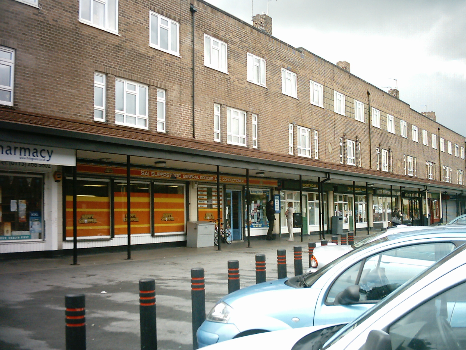
Moor Allerton Centre, showing the library
-
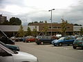
Moor Allerton Centre
-

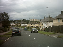
Flats on the Tynwald area of Black Moor
-
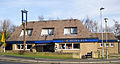
The Penny Fun
References
- ^ http://www.leodis.net/display.aspx?resourceIdentifier=2004113_27227419
- ^ http://www.leodis.net/display.aspx?resourceIdentifier=2002812_62508792
- ^ http://www.leedsonline.co.uk/street/Moor_Allerton_Centre/
- ^ http://www.leodis.net/display.aspx?resourceIdentifier=2002326_73720950
- ^ http://www.leodis.net/display.aspx?resourceIdentifier=2003108_11558169
- ^ http://www.leodis.net/display.aspx?resourceIdentifier=200751_163320
- ^ http://www.leodis.net/display.aspx?resourceIdentifier=200424_21441287&DISPLAY=FULL
- ^ http://www.leodis.net/display.aspx?resourceIdentifier=2005114_11138552
Categories:- Places in Leeds
-

Wikimedia Foundation. 2010.