- Sulcis Mountains
-
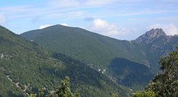 Monte Is Caravius in the Sulcis Mountains.
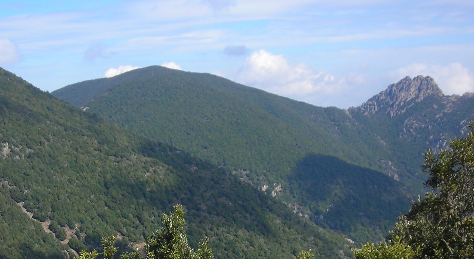
 Monte Genna Strinta see from Monte Lattias.
The Sulcis Mountains (Italian: Monti del Sulcis) is a mountain chain in Sardinia, Italy. Together with the Monte Linas massif, from which they are separated by the flood plain of the Cixerri River, they form the Sulcis-Iglesiente Mountains, one of the most ancient geological formations in the island.
Geology
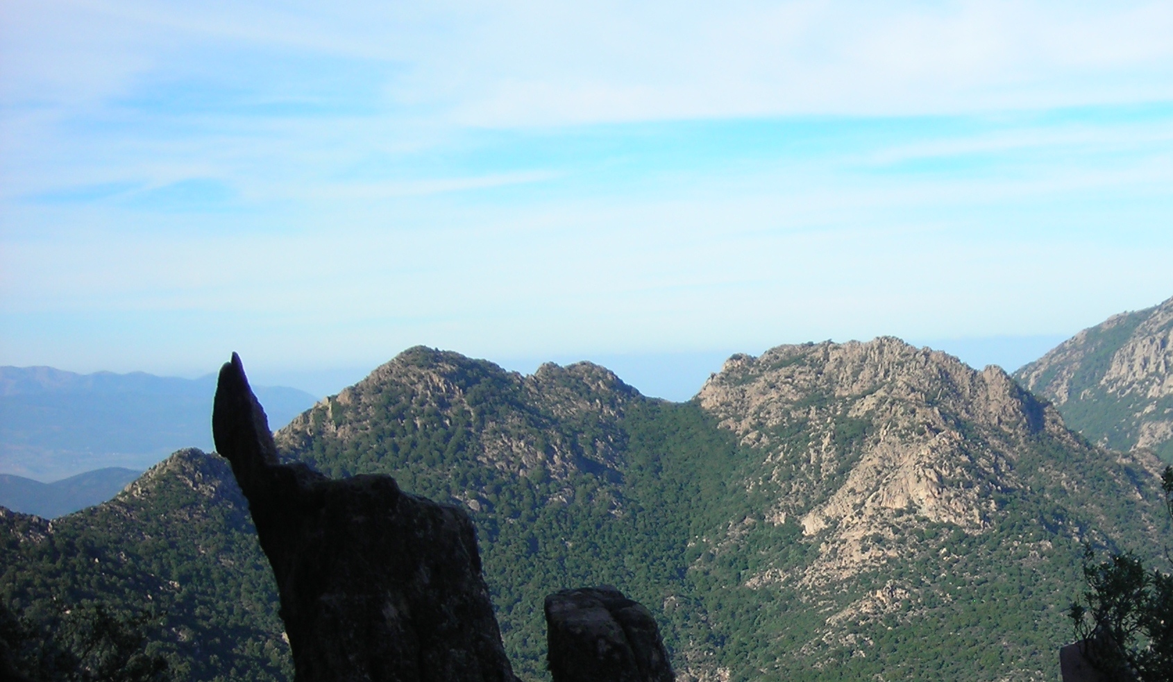
The Sulcis Mountains geological structure is rather intricated, due to their very ancient origin which, in the first formations, dates to more than 600 millions years ago (Cambrian period). Their age is also shown by the rather mild nature of the reliefs, with a few peaks over 1000 m of altitude, presenting what remains of the superficial erosion which has partly left untouched the magmatic intrusions and the metamorphic rocks originated before the Variscan orogeny.
The western side of the chain has been made rather mild by the erosion and flood processes, with modest altitude reliefs. The inner and eastern sectors are sharper and more irregular, with numerous reliefs and narrow valleys. The western side contains the oldest formations from the Cambrian, consisting in seadimentary depots of marine origin, later subject to metamorphic phenomena. Here Karst topography is also present (Is Zuddas Grottoes).
Most of the sedimentary formations from the Carboniferous to the Permian underwent to metamorphic processes in the Variscan Orogney, and to the intrusion of granitic marbles. The post-Variscan erosion and the tectonic lifts of the Cenozoic caused the appearance of magmatic (leucogranites) and metamorphic (schists) intrusions which made the eastern sector more eterogeneous.
The plateau-like formations at the feet of the chain have a double origin: on the western side are the most ancient ones (Cenozoic), formed by flood depots and, partly, by lava; on the eastern and south-easters sides are instead small flood depots from the Quaternary.
Main peaks
- Monte Is Caravius (1116 m)
- Monte Tiriccu (1105 m)
- Punta Sa Cruxitta (1093 m)
- Monte Sa Mirra (1087 m)
- Monte Lattias (1086 m)
- Monte Nieddu (1040 m)
- Monte Maxia (1017 m)
- Sa Punta Sa Berrita de Currei (1008 m)
- Punta Rocca Steria (1008 m)
- Punta Sebera (979 m)
- Monte Genna Spina (970 m)
- Punta Allimeddus (966 m)
- Monte Arcosu (948 m)
Sources
- "Sulcis". I Parchi della Sardegna. Cagliari: Edisar. 1993. ISBN 88-86004-35-4.
Categories:- Mountain ranges of Italy
- Mountains of Sardinia
Wikimedia Foundation. 2010.