- Pico Posets
-
Pico Posets 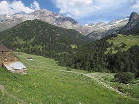
Pico Posets from the westElevation 3,371 m (11,060 ft) s Location Location in the Pyrenees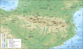
 Pico Posets
Location Eriste, Benasque valley (Ribagorza, Aragon, Spain) Range Pyrenees Coordinates 42°39′56″N 0°25′28″E / 42.66556°N 0.42444°ECoordinates: 42°39′56″N 0°25′28″E / 42.66556°N 0.42444°E Climbing First ascent August 6, 1856 (H. Halkett) Easiest route basic snow/ice climb from Angel Orús refuge Pico Posets or Punta de Llardana is the second highest peak of the Pyrenees, after Aneto. It is located in the Spanish province of Huesca and is 3,371 meters high.
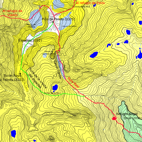
Ascent route
 Topographic map of the ascent route
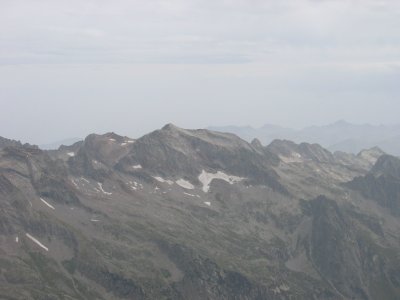
 View of Pico Posets from Pico Espadas
From the Angel Orús refuge (2,095 m), a well-marked path goes to the northwest. After an hour of ascent a creek is crossed. Further up, the path splits in two. Taking the right path, it follows a narrow valley (Canal Fonda) in which almost all year round there is a small frozen zone, so it's convenient to take an ice axe and crampons.
In less than three hours, the path leads to the feet of the Tooth of Llardana (which can be ascended better when returning from Posets' summit). Following the stone slope after four hours of ascent the summit is reached.
The descent to the refuge using the same route takes about three hours.
Categories:- Mountains of the Pyrenees
- Mountains of Aragon
- Pyrenean Three-thousanders


Wikimedia Foundation. 2010.