- Mont Gargan
-
Mont Gargan 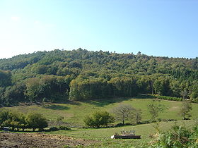
Mont Gargan seen from Saint-Gilles-les-ForêtsElevation 731 Location Haute-Vienne, France
 Mont Gargan
Range Plateau de Millevaches Coordinates 45°37′14″N 1°38′52″E / 45.62056°N 1.64778°ECoordinates: 45°37′14″N 1°38′52″E / 45.62056°N 1.64778°E  Stele commemorating the fighting of July 1944 in the region of Mount Gargan
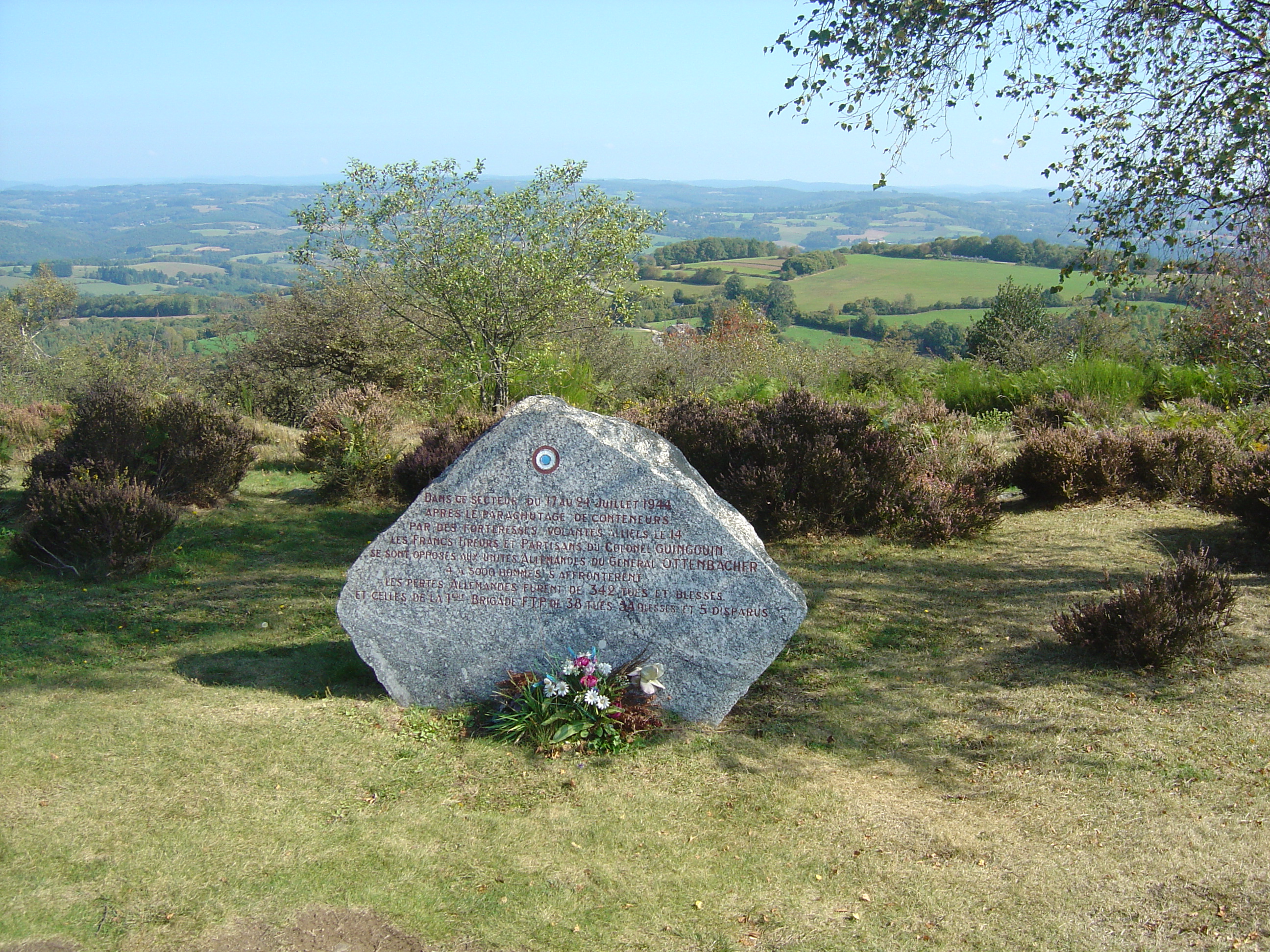
Mont Gargan is a peak in the Massif central, situated in the western border of the plateau de Millevaches, between Saint-Gilles-les-Forêts and Sussac in Haute-Vienne. Mont Gargan is situated in the parc naturel régional de Millevaches en Limousin. Its occitan name is puèg Gerjant and it is the subject of numerous legends.
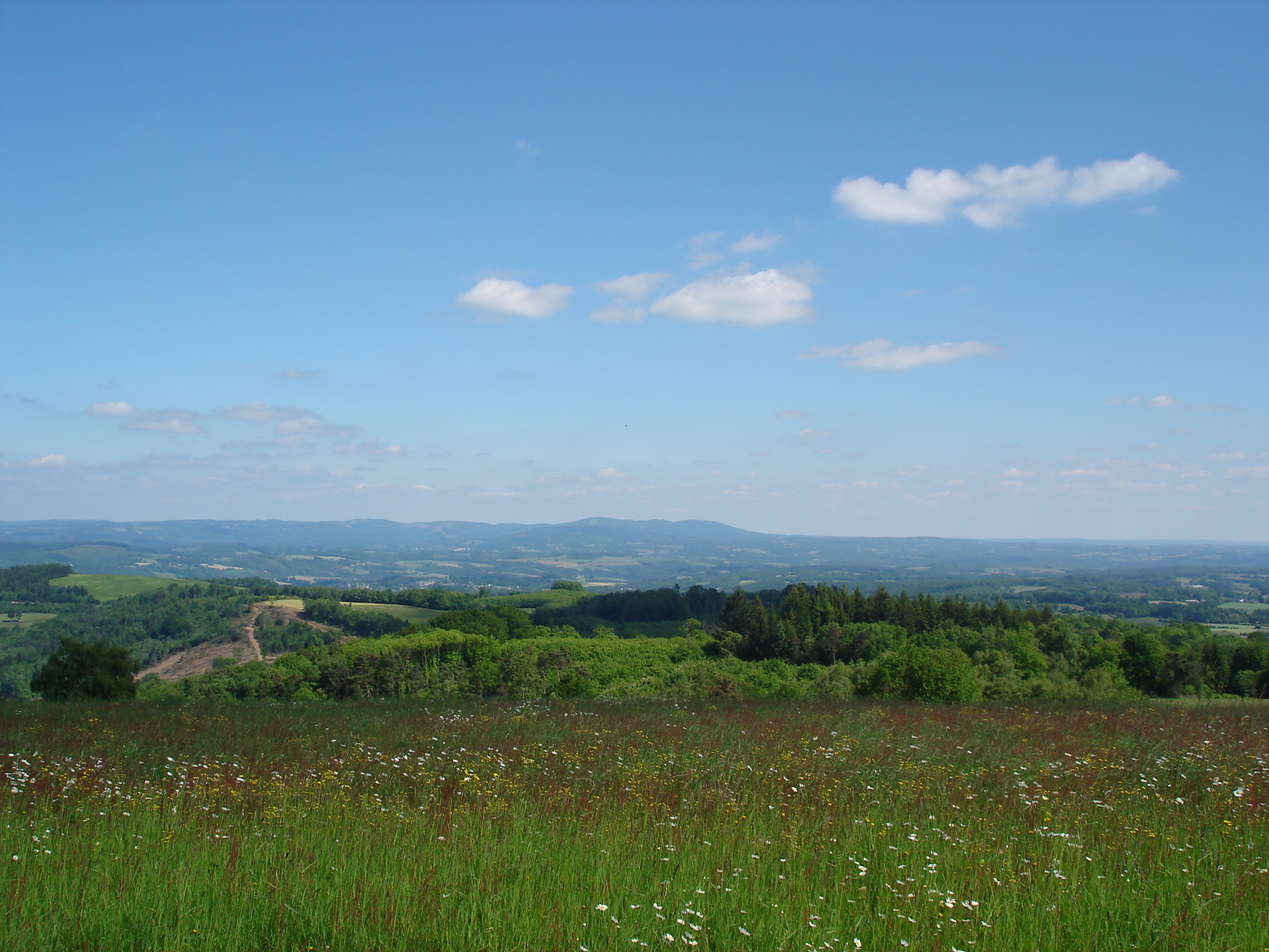
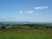 View around the puy, with the massif des Monédières in the centre.
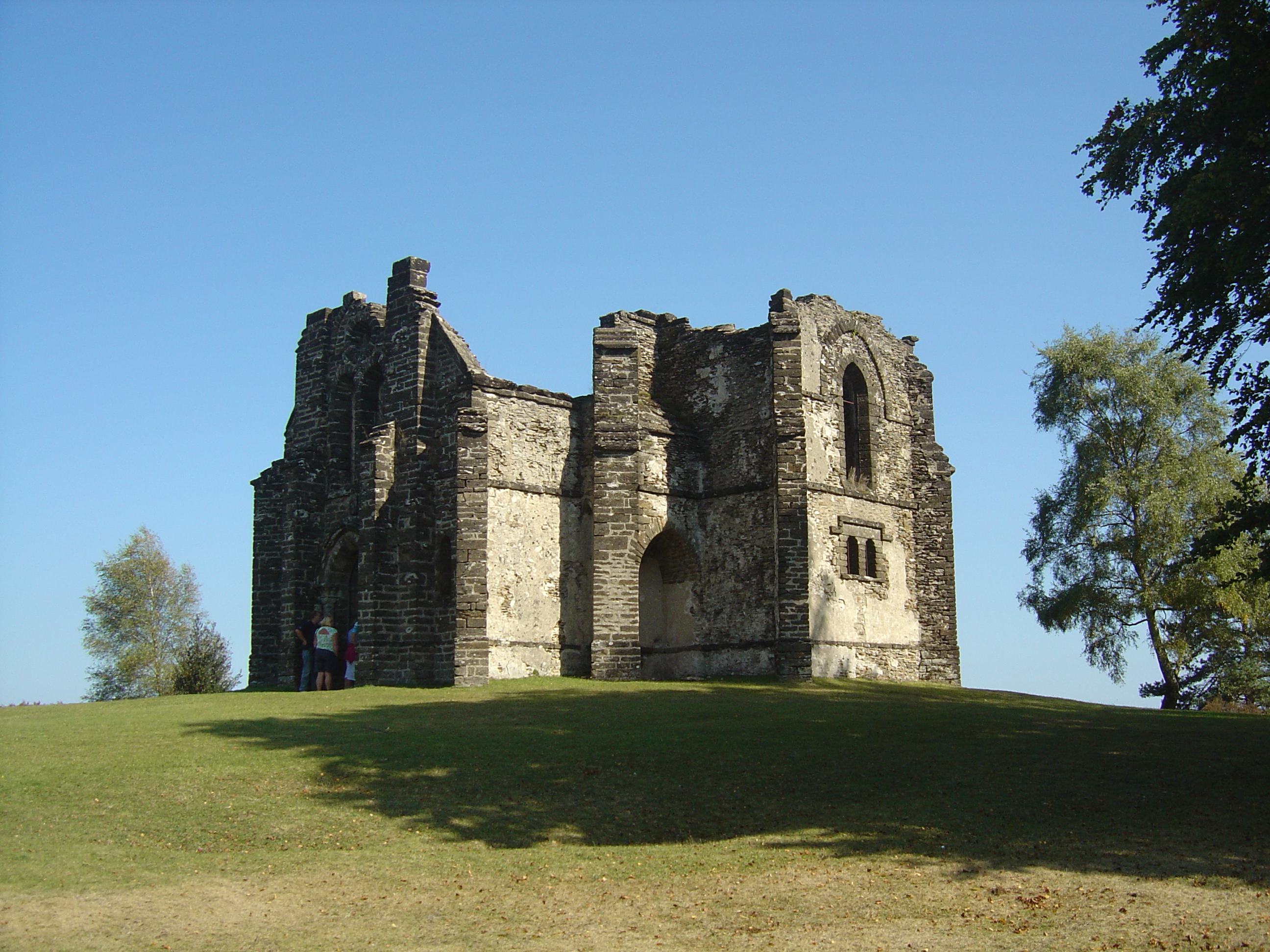
 Mont Gargan chapel
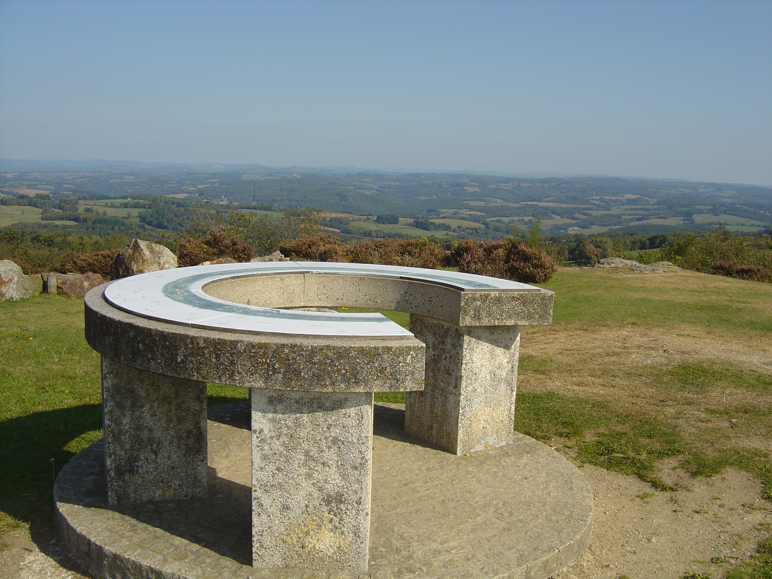
 Public information point on Mont Gargan
Mont Gargan has an altitude of 731 metres; at the summit are the ruins of a chapel built between 1868 and 1871 by Louis Joyeux with the support of the population, and dedicated to Notre-Dame du Bon Secours. The chapel became damaged but was restored in 1992 by the Haute-Vienne general council and by the Friends of Mont Gargan. Since 1986, the chapel has been the property of the Haute-Vienne department.
The summit was at one time covered with heather and gorse, which have since given way to a prairie. A stele recalls the Second World War battle of Mont Gargan fought between the German army and the maquis resistance fighters led by Georges Guingouin.
Contrary to what is widely stated in books and maps, Mount Gargan is not the highest point in Haute-Vienne; the forest of Crozat and the puy de Lauzat, 25 kilometres to the north-east near Nedde, are higher, at 777 metres above sea level.
Categories:- Mountains of France


Wikimedia Foundation. 2010.