- Molus River (New Brunswick)
-
For the community named Molus River, see Weldford Parish, New Brunswick#Molus River.
 Molus River
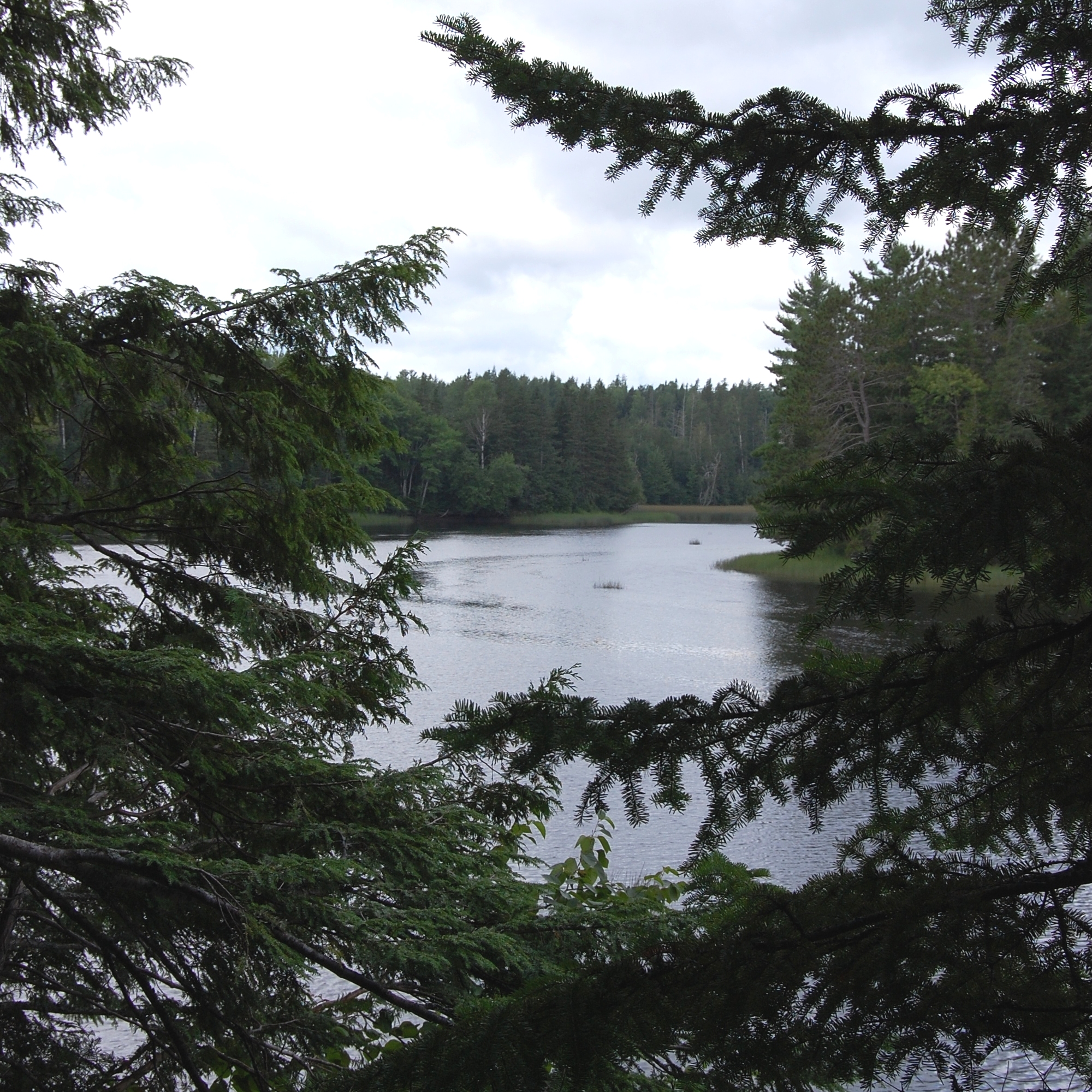
Molus River is a fresh water tributary of the Richibucto River, located in Weldford Parish, New Brunswick, Canada. At one time named Moulies River Station, it is located 3.15 km North East of Bass River, Weldford Parish, New Brunswick on the road to Richibucto. In 1904 Moulies River Station was a stop on the Kent Northern Railway.
Molus River had a Post Office named Moulies River 1867-1950 and named Molus River 1950-1970 In the year 1871 Molus River had a population of 150. In 1898 Molus River was a farming, fishing and lumbering settlement with 1 post office, 1 church and a population of 300.
Community History - Epsikitiáskuk is what the Mi’kmaq people of Elsipogtog First Nation called the Molus River as seen on old land grant documents at Provincial Archives New Brunswick.
A possible source for the word Molus is from the French language spoken by Acadian living in the Richibucto River area, with the word “moluёs” being a French word for a tidal flat mussel, a type of shellfish commonly found on muddy beaches along the river.
For a period from about 1850-1900 the name on maps was often spelled Moulies River and moulies is a type of coal shale that was harvested during the days of coal mining operations along the Coal Branch River, which is another tributary of the Richibucto River Estuary. There is also an old oral tradition that the river may have been named for a Henry Molus, an early settler or explorer in the area.
The first European settlers of the south side of the Molus River were 1821 Thomas Phelan (Whalen), John Phelan, Patrick Phelan. By the 1830s the north side was also opened and the Warman family settled here. Other settler names: Olsen, Dargavel, Stevenson, Millar, McPherson, Ward, and Harnett. The community reached its height in the late 19th century. By 1900 the community was in decline, the virgin forest of white pine and maple had been stripped from the land to supply the ship-building community down river at Kingston now Rexton.
Land Grants at Provincial Archives New Brunswick indicate that in 1819 Molus River was "at the center of the Indian Reserve" when it was opened to British subjects for settlement. The community of Molus River, a farming and forestry community, now takes its name from the river. Elsipogtog First Nation is nearby.
References
See also
- List of rivers of New Brunswick
Coordinates: 46°34′N 65°5′W / 46.567°N 65.083°W
Categories:- Rivers of New Brunswick
- New Brunswick geography stubs
Wikimedia Foundation. 2010.