- Mills Prairie, Illinois
-
Mills Prairie, Illinois — Former settlement — 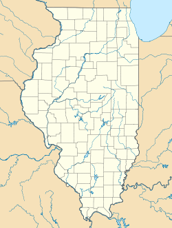
 Mills Prairie, Illinois
Coordinates: 38°30′15″N 87°58′15″W / 38.50417°N 87.97083°WCoordinates: 38°30′15″N 87°58′15″W / 38.50417°N 87.97083°W Country United States State Illinois County Edwards Elevation 427 ft (130 m) GNIS feature ID 1808162[1] Mills Prairie is a former settlement in Edwards County, Illinois, United States. Mills Prairie was 2 miles (3.2 km) southeast of West Salem.
References
- ^ "US Board on Geographic Names". United States Geological Survey. 2007-10-25. http://geonames.usgs.gov. Retrieved 2008-01-31.
Municipalities and communities of Edwards County, Illinois County seat: Albion Cities 
Villages Bone Gap | Browns | West Salem
Precincts Albion No. 1 | Albion No. 2 | Albion No. 3 | Bone Gap | Browns | Dixon | Ellery | French Creek | Salem No. 1 | Salem No. 2 | Shelby No. 1 | Shelby No. 2
Unincorporated
communitiesBennington | Black | Ellery‡ | Maple Grove | Marion | Red Top | Samsville
Ghost towns Lexington | Mills Prairie | Piankashawtown | Wanborough
Footnotes ‡This populated place also has portions in an adjacent county or counties
Categories:- Geography of Edwards County, Illinois
- Ghost towns in Illinois
- United States ghost town stubs
- Southern Illinois geography stubs

Wikimedia Foundation. 2010.