- Midžor
-
Midžor (Миџор) Midzhur (Миджур) 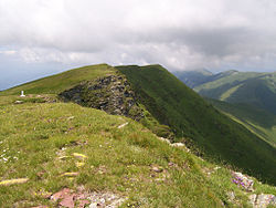
Picture taken from the Serbian sideElevation 2,169 m (7,116 ft) Location Location of Midžor in Serbia (on Bulgarian border)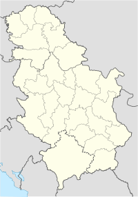
 Midžor (Миџор)
Location Bulgaria, Serbia Range Balkan Mountains Coordinates 43°23′38″N 22°40′54″E / 43.39389°N 22.68167°ECoordinates: 43°23′38″N 22°40′54″E / 43.39389°N 22.68167°E Midžor (Serbian Cyrillic: Миџор, pronounced [mîdʒɔr], Bulgarian: Миджур) is a peak in the Balkan Mountains, situated on the border between Bulgaria and Serbia. At 2,169 metres (7,116 ft), it is the highest peak of the Western Balkan Mountains, as well as of Central Serbia[note 1]. Midžor is the 12th highest peak in the Balkan Mountains.
Contents
Bulgaria
Since the early 1990s, Midžor has been accessible to tourists from both sides; previously, access was forbidden due to the peak being in the border area. Due to those restrictions, the nature around the peak has been preserved untouched. On the Bulgarian side, the peak is reachable from the villages of Chuprene and Gorni Lom in Vidin Province.
Chuprene
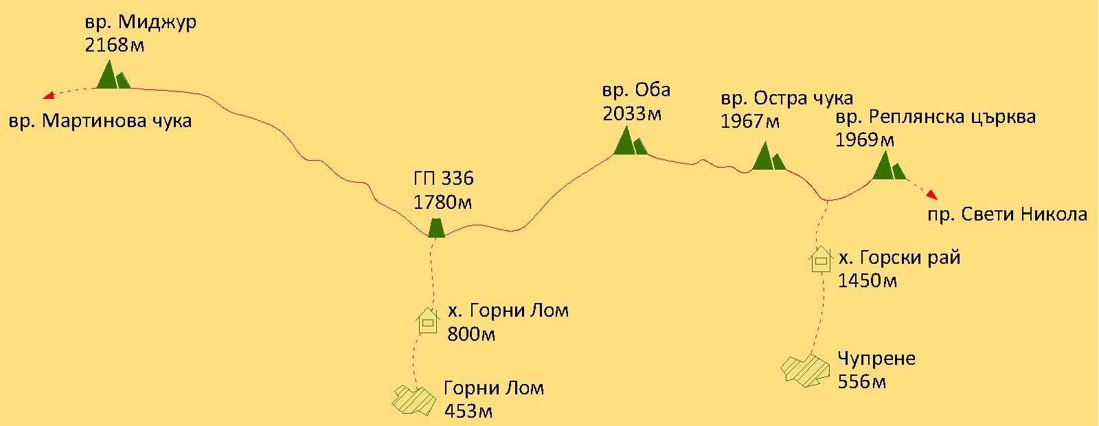
From Chuprene there are two possibilities for climbing. There is a 17 km dirt road following the river Chprenska to the Gorski Ray refuge (1,450 m) or a 9 km foot track following the river Manastirska.
From the refuge there is a marked track which passes through the Chuprene biosphere reserve and leads to the main summit on a saddle between the peaks Replyanska Tsarkva (1,969 m) and Ostra Chuka (1967 m). To the south east through the peaks Ostra Chuka and Oba (2,033 m) the track reaches a saddle from where the Lom River and the Timok flow out at border stone 336. From there Midžor can be climbed from the north-western slope.
Gorni Lom
At 7 km from the village of Gorni Lom is located the Gorni Lom refuge (840 m). There is also another refuge upstream called Midžor. There are steep tracks from there leading to the saddle between Oba and Midžor at border stone 336 from where the both tracks from the two villages merge.
Economy
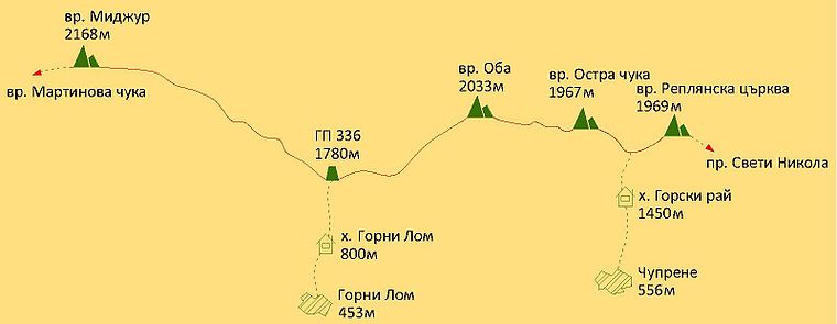 A map with the track from the Bulgarian side.
The source of the Lom River is at the foot of the peak. A cascade of small hydroelectric power plants is in operation on the river near Midžor and four more are under construction.[1] Chuprene biosphere reserve which is under the protection of UNESCO is situated to the west of the peak. It is one of the last sanctuaries in Bulgaria where the Capercaillie nests.
A special permission from border police Sofia is required in order to ascend to the peak.
Serbia
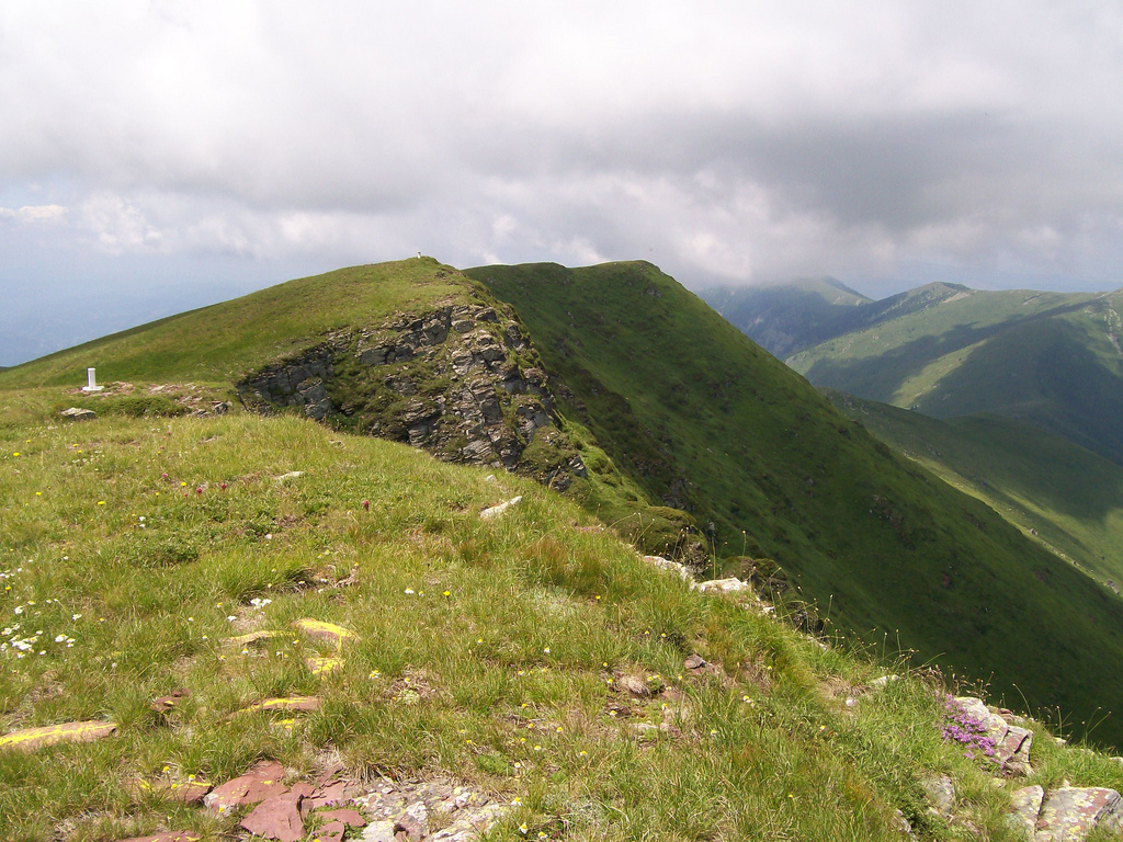
The extreme peak of the western mountain is north of village Topli Dol, placed in the center of Serbian Stara Planina, between Tri Čuke (1936 m) on SE side and Babin Zub (1758 m) on SW side. The massif of Midžor peak is very large. Its western, eastern and southern slopes are grassy and not so steep, while its northern side is rocky and very steep. This side is also most attractive and very popular among rock climbers.
It is the highest peak in Serbia outside of Kosovo, and the 24th highest in whole of Serbia if Kosovo is included[note 2].
There is a hotel "Babin Zub" in the slopes. There are no fees or permits needed to enter the Serbian Stara Planina[2].
Gallery
-

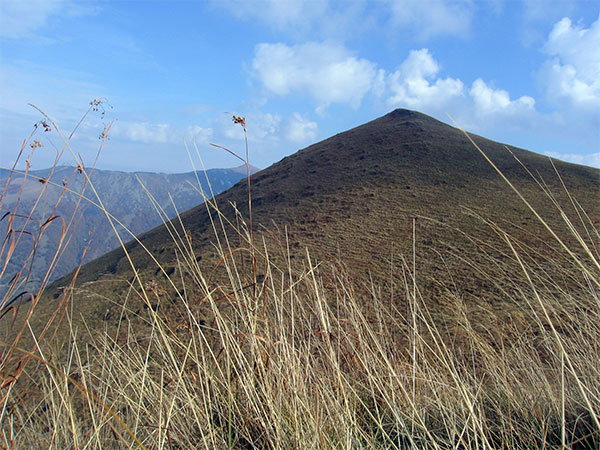
Peak
-

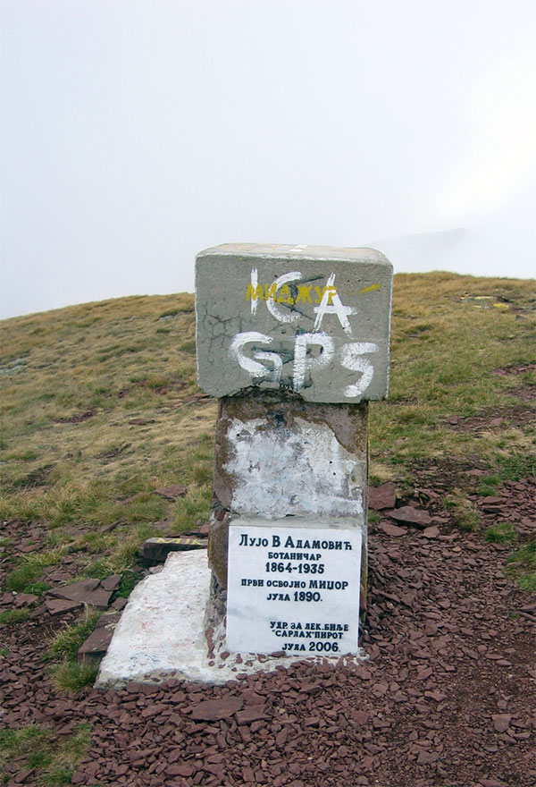
Border stone
-

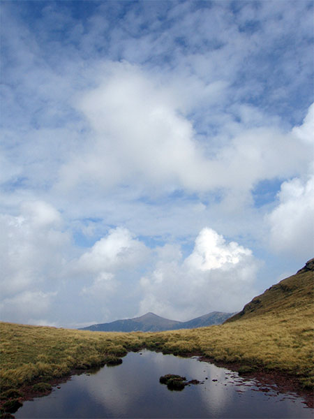
Sky and water
-

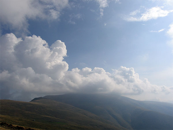
Clouds
External links
Footnotes
- Notes
- ^ The highest peak of Serbia is officially Đeravica in the Prokletije mountain range at 2,656 metres (8,714 ft), but is located in Kosovo. If Kosovo is not included, than Midžor is the highest peak of Serbia.
- ^ See: List of mountains in Serbia#Peaks over 2000 meters
- References
Categories:- Mountains of Bulgaria
- Mountains of Serbia
- Balkan mountains
- Bulgaria–Serbia border
- International mountains of Europe
-

Wikimedia Foundation. 2010.