- Sierra de Enguera
-
Sierra de Enguera 
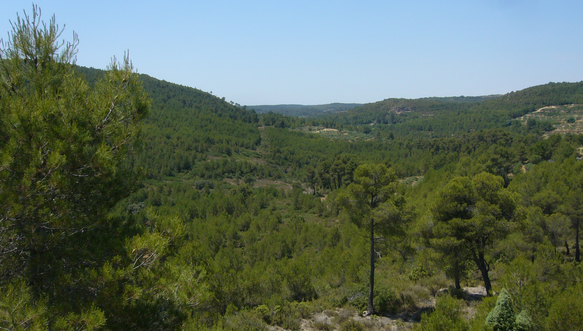
Landscape in Sierra de EngueraElevation 1,056 m (3,465 ft) Location Canal de Navarrés and Valle de Cofrentes
 Sierra de Enguera
 Valencian Community
Range Prebaetic System, eastern end Coordinates 38°56′40″N 0°57′34″W / 38.94444°N 0.95944°WCoordinates: 38°56′40″N 0°57′34″W / 38.94444°N 0.95944°W Geology Type Karstic Climbing Easiest route Drive from Énguera, Ayora or Almansa, then hike Sierra de Enguera[1] (Valencian: Serra d'Énguera) is a 16.45 km (10 mi) long mountain range in the Canal de Navarrés and Valle de Cofrentes comarcas, Valencian Community, Spain. Its highest point is Altos de Salomón (1,056 m.) in the Caroig Massif. Other important peaks are Palmera (880 m.), Cova Negra (862 m.) and Marc (830 m.).
This mountain chain is named after the town of Énguera, located to the east of the range.[2]
See also
- Mountains of the Valencian Community
References
- ^ Vicenç M. Rosselló i Verger, Toponímia, geografia i cartografia
- ^ La Canal de Navarrés
External links
Categories:- Mountains of the Valencian Community
- Mountain ranges of Spain
- Alto Palancia
- Alto Mijares
- Plana Baixa

Wikimedia Foundation. 2010.