- Masalani
-
- Masali may also refer to Masalani, Makueni District (another settlement in Kenya)
Masalani Location of Masalani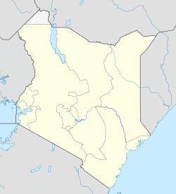
 Masalani
Coordinates: 1°41′53″S 40°07′19″E / 1.698°S 40.122°ECoordinates: 1°41′53″S 40°07′19″E / 1.698°S 40.122°E Country Kenya Province North Eastern Province Time zone EAT (UTC+3) Masalani is a settlement in Kenya's North-Eastern Province. It is the headquarters of Ijara District. It is located on the Eastern shores of Tana River, 30 kilometres south of Hola and 60 kilometres north of Garsen [1]
Administratively, it is one of four locations in the Masalani division of Ijara District[2]. Masalani is also a ward in Ijara Constituency and Ijara County Council [3].
It is normally dominated by the Somali pastrolists of Darod Samawadal clan. The two main subclan of Samawadal are Re-Mohamed and Abdalla.
References
- ^ Rough Guide Map - Kenya
- ^ UN Office for the Coordination of Humanitarian Affairs (OCHA): Kenya_AdminLevels_1-4
- ^ Electoral Commission of Kenya: Registration centres by electoral area and constituency
Categories:- Ijara District
- Populated places in the North Eastern Province of Kenya

Wikimedia Foundation. 2010.