- Maricao State Forest
-
Maricao State Forest
Spanish: Bosque Estatal de Maricao
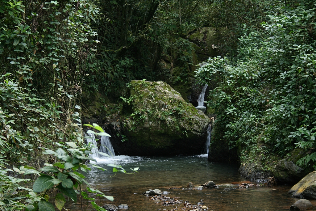
Water stream at El Monte del EstadoGeography Location Maricao, Puerto Rico, United States Elevation 1,388 feet (423 m) Area 10,264 acres (41.54 km2) Established 1919 Governing body Puerto Rico Department of Natural and Environmental Resources Map 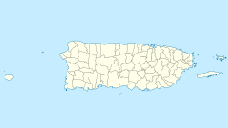
 Maricao State Forest
Maricao State Forest is located on the island of Puerto Rico, spread through the towns of San Germán, Sabana Grande and Maricao. It is commonly known as only the Monte del Estado, which refers to the mountain of that name located in the forest.
The forest is located on the western region of the Cordillera Central of Puerto Rico, and encompasses 10,264 acres (41.54 km2) of land in a high rainfall area. Guanajibo River and the Río Grande de Añasco flow through the forest.
Contents
History
The Maricao State Forest was created after a proclaim on December 22, 1919.
Biology and ecology
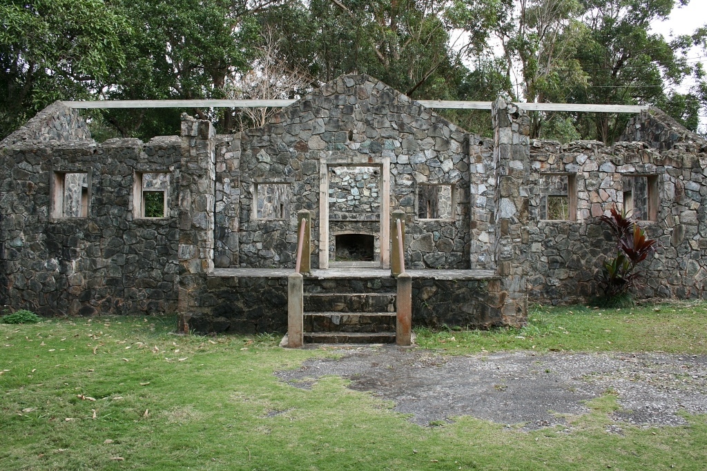
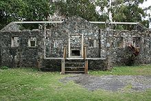 "Casa de Piedra" ruins, Monte del Estado
Flora
There are 1,141 species of plants in the forest, probably the highest diversity in the island. Of the 128 species of endemic plants of Puerto Rico, 23 are in the Maricao State Forest. There are plantations of mahogany, eucalyptus, Honduras Pine, and others.
Fauna
There are 60 species registered, 29 of which are endemic. Some examples are the Puerto Rican Sharp-shinned Hawk (Accipiter striatus venator), which is an endangered species, and the Puerto Rican Emerald (Chlorostilbon maugaeus).
Climate
In summer the climate is warm and humid. Thunderstorms are common, along with temperature around 85°F with heat index in the upper 90s during the day time. In summer, night time is usually cool with low temperature in the mid- to lower 60s. In winter, it is very dry, the forest with mild temperature in day time and cold in night time. Occasional days drop to 40°F with mid-30s wind chill.
See also
Coordinates: 18°07′22″N 66°58′29″W / 18.1227371°N 66.9746221°W[1]
References
External links
Protected Areas of Puerto Rico National Historic Sites: National Forests: National Wildlife Refuges: National Estuarine Research Reserve: State Forests: Aguirre • Bosquerón • Cambalache • Carite • Ceiba • Guánica • Guajataca • Guilarte • Los Morillos • Maricao • Piñones • Río Abajo • Susúa • Toro Negro • VegaCategories:- Puerto Rico state forests

Wikimedia Foundation. 2010.