- Mangroves National Park
-
Mangroves National Park IUCN Category II (National Park)

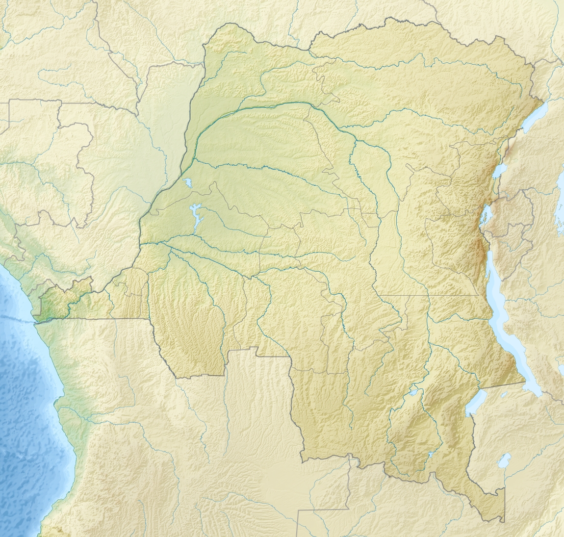
Location Democratic Republic of the Congo Coordinates 5°45′S 12°45′E / 5.75°S 12.75°ECoordinates: 5°45′S 12°45′E / 5.75°S 12.75°E Area 768 km² Established 1992 Governing body l'Institut Congolais pour la Conservation de la Nature (ICCN) Mangroves National Park is a national park and Ramsar wetland in the Democratic Republic of Congo containing mangrove forests. The park is located at the mouth of the Congo River.[1] These mangroves are distinct from the ones found in south Asia (India and Bangladesh). These mangroves form a separate type of mangrove forests, which are typical to Democratic Republic of Congo.[citation needed] The park was established in 1992 and is 768 km2 (297 sq mi) in size.[1]
References
- ^ a b Rorison, Sean (2008). Bradt Congo: Democratic Republic - Republic. Bradt Travel Guides. pp. 120–121. ISBN 9781841622330. http://books.google.com/books?id=cXJyOKBqJZwC&pg=PA120&dq=%22Mangroves+National+Park%22&hl=en&ei=hXPyTfW4G5CqsAPx6LXMCw&sa=X&oi=book_result&ct=result&resnum=1&ved=0CC0Q6AEwAA#v=onepage&q=%22Mangroves%20National%20Park%22&f=false.
External links
National Parks of the Democratic Republic of Congo 
This Africa protected areas related article is a stub. You can help Wikipedia by expanding it.