- Monti della Meta
-
Monti della Meta 
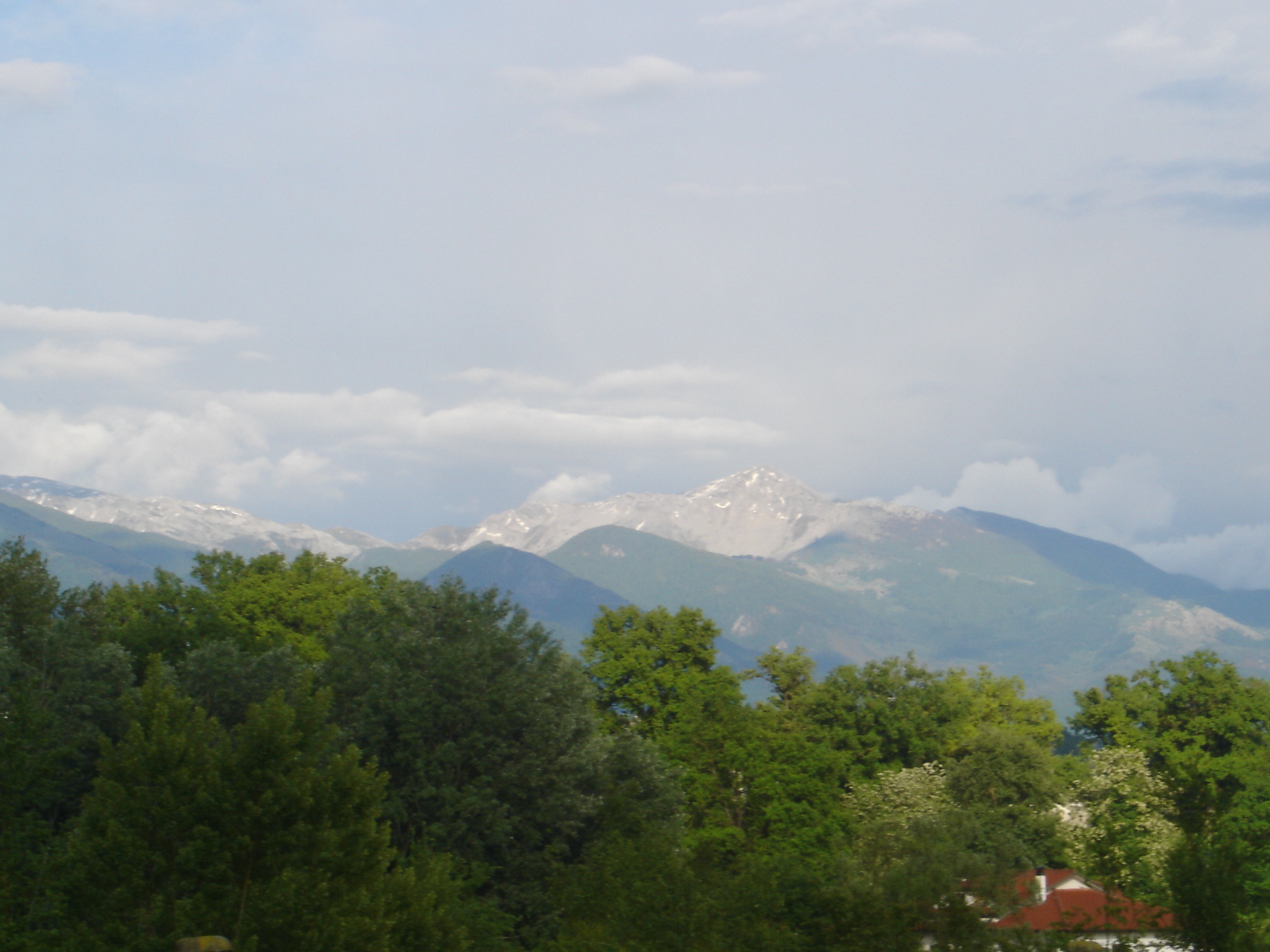
Monte Meta seen from PiciniscoElevation 2,249 m (7,379 ft)
Monte PetrosoLocation 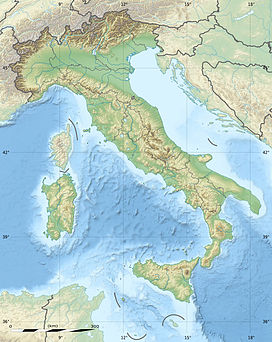
 Monti della Meta
 Italy: Lazio, Abruzzo and Molise
Range Central Apennines Coordinates 41°40′55″N 13°54′45″E / 41.68194°N 13.9125°ECoordinates: 41°40′55″N 13°54′45″E / 41.68194°N 13.9125°E The Monti della Meta are a massif of central Italy located around the junction point of the boundaries between the regions of Lazio, Abruzzo and Molise. The major of three massifs of the Parco Nazionale d'Abruzzo, Lazio e Molise, they take their name from one of the peaks, Monte Meta. The massif covers a map area of about 93.29 km2 (36.02 sq mi), with a minimum altitude of 450 m (1,480 ft), a maximum altitude of 2,249 m (7,379 ft) and a mean altitude of 1,000 m (3,300 ft).[1]
All the highest peaks (including the Monte Petroso, 2,247 m, Monte Cavallo, 2,039 m and Monte Mare, 2,020 m) show traces of Quaternary glaciation. Valleys in the chain include those of the Melfa and Mollarino rivers in the province of Frosinone, and the Rio Torto in the province of L'Aquila.
The lowest area of the massif, on the boundary between Molise and Lazio, is known as Mainarde. Here, historically, the human presence has been not seasonal as in the highest slopes.
References
- ^ "Monti della Meta". European Environment Agency. http://eunis.eea.europa.eu/sites/IT6050019.
Bibliography
- Caruso, F. (1995). Nel parco nazionale d'Abruzzo. Città di Castello: Tipografia Petruzzi.
External links
- "Monti della Meta". mountain-forecast.com. http://www.mountain-forecast.com/peaks/Monti-della-Meta.
 Mountains of the LazioMonte Abate · Monte Altino · Monte Appiolo · Maschio dell'Ariano · Maschio di Lariano · Monte Artemisio · Monte Autore · Monte Carbonaro · Monte Cavo · Monte Cefalo · Cima del Redentore (monti Aurunci) · Circeo · Monte Crispi · Monte Dragone · Monte Faggeto · Monte Fammera · Mont Fogliano · Monte Fusco · Monte Gorzano · Monte Guadagnolo · Monte Lauro in Gaeta · Monte Lauzo · Le Rave Fosche · Monte Livata · Mainarde · Maschio delle Faete · Meta (monte) · Monna · Monte Caira · Monte Cervello · Monte Revole · Monte Sorgenze · Monte Trina · Monte Val de' Varri - Monte Faito - Monte San Nicola · Monte di Cambio · Monte le Pezze · Parco regionale urbano Monte Orlando · Monte Orso · Monte Petrella · Monte Pizzuto · Monte RuazzoCategories:
- Mountains of Abruzzo
- Mountains of Lazio
- Mountains of Molise

Wikimedia Foundation. 2010.