- Stretton-on-Fosse
-
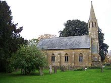 St Peter's Church
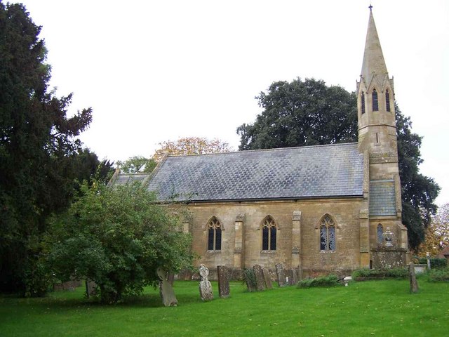
Stretton-on-Fosse is a small village and civil parish with fewer than 200 houses, most built of Cotswold stone or locally-made red brick, situated on the Warwickshire-Gloucestershire border on the fringe of the Cotswold Hills.
Contents
History
Stretton means "settlement on a Roman Road" (from the Old English stræt and tun). In this case the road is Fosse Way.
Two manors are listed in the Domesday Book of 1086, of these only one remains adjoining the imposing Stretton House on the higher ground (125m) of the village. Whilst the lower ground of the village is heavy clay the upper parts are composed of sand and shingle. During commercial extraction of sand important graves of the Roman-British and Anglo-Saxon periods were uncovered and interesting skeletons and personal belongings were unearthed[citation needed]. These burials were the result of internecine warfare between local tribal factions[citation needed].
Until recently the village consisted of several farms, with housing for local residents occupied in cultivation of the land and the trade association of the rural economy, such as, shops, post-office, school, inns, blacksmith, and three religious buildings. However, of these only the church (rebuilt in 1841)[citation needed] and the Plough Inn remain, and are still used for their intended purpose. A new imposing village hall was built in 1990 to replace the post-war wooden hut. There was once a railway line and station, both now gone — Stretton-on-Fosse railway station.
The largely deserted medieval village of Ditchford Frary is also part of the civil parish; the church, which has become ruinous, was annexed to Stretton in 1641.[citation needed]
Tramway
In 1826 the Stratford and Moreton Tramway, with horse-drawn trucks and carriages, was opened for carrying coal and passengers from Stratford-upon-Avon to Moreton-in-Marsh, and it passed through the village[citation needed]. At a later period a branch line was constructed to Shipston-on-Stour which was used for passengers until 1929 and goods until 1960.
References
External links
Coordinates: 52°02′38″N 1°40′41″W / 52.044°N 1.678°W
Categories:- Villages in Warwickshire
- Civil parishes in Warwickshire
- Warwickshire geography stubs
Wikimedia Foundation. 2010.