- Devghat, Nepal
-
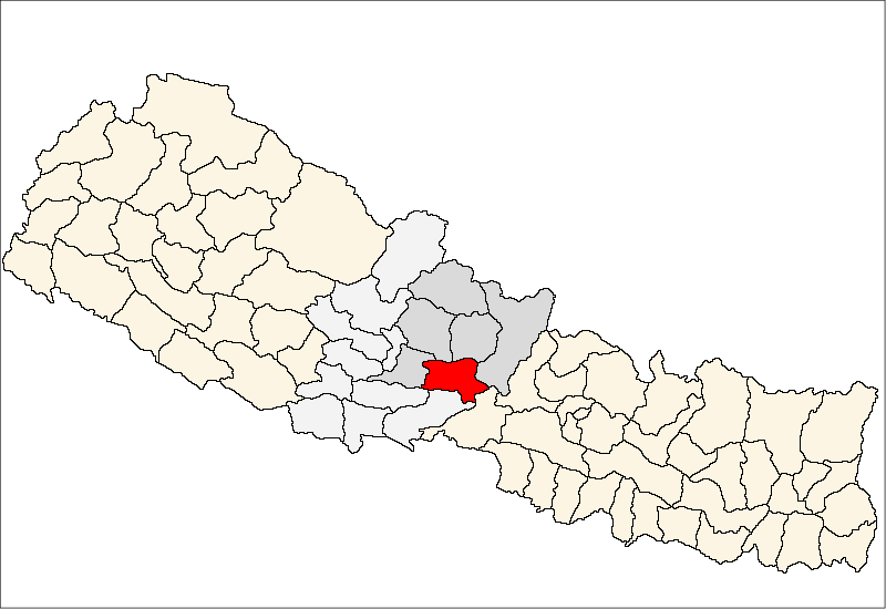
Devghat, Nepal — Village development committee — Location in Nepal
 Devghat, Nepal
Coordinates: 27°48′N 84°25′E / 27.80°N 84.41°ECoordinates: 27°48′N 84°25′E / 27.80°N 84.41°E Country  Nepal
NepalZone Gandaki Zone District Tanahu District Population (1991) – Total 5,786 Time zone Nepal Time (UTC+5:45) Devghat, Nepal is a village development committee in Tanahu District in the Gandaki Zone of central Nepal. At the time of the 1991 Nepal census it had a population of 5786 people living in 1132 individual households.[1]
References
- ^ "Nepal Census 2001", Nepal's Village Development Committees (Digital Himalaya), http://www.digitalhimalaya.com/collections/nepalcensus/form.php?selection=1, retrieved 15 November 2009.
External links
Ambukhaireni · Arunodaya · Baidi · Bandipur · Barbhanjyang · Basantapur · Bhanu · Bhanumati · Bhimad · Bhirkot · Byas · Chhang · Chhimkeswori · Chhipchhipe · Chok Chisapani · Deurali · Devghat · Dharampani · Dhorphirdi · Dulegaunda · Firfire · Gajarkot · Ghansikuwa · Jamune Bhanjyang · Kabilas · Kahu Shivapur · Keshavtar · Khairenitar · Kihun · Kota · Kotdarbar · Kyamin · Majhakot · Manpang · Pokhari Bhanjyang · Purkot · Raipur · Ramjakot · Ranipokhari · Risti · Rupakot · Samungbhagawati · Satiswara · Sundhara · Syamgha · Tanahunsur · Thaprek · Virlung
 Categories:
- Populated places in Tanahu District
- Gandaki Zone geography stubs

Wikimedia Foundation. 2010.