Dennington, Victoria

Dennington, Victoria
Dennington
Victoria
DenningtonFonterraPlant.JPG
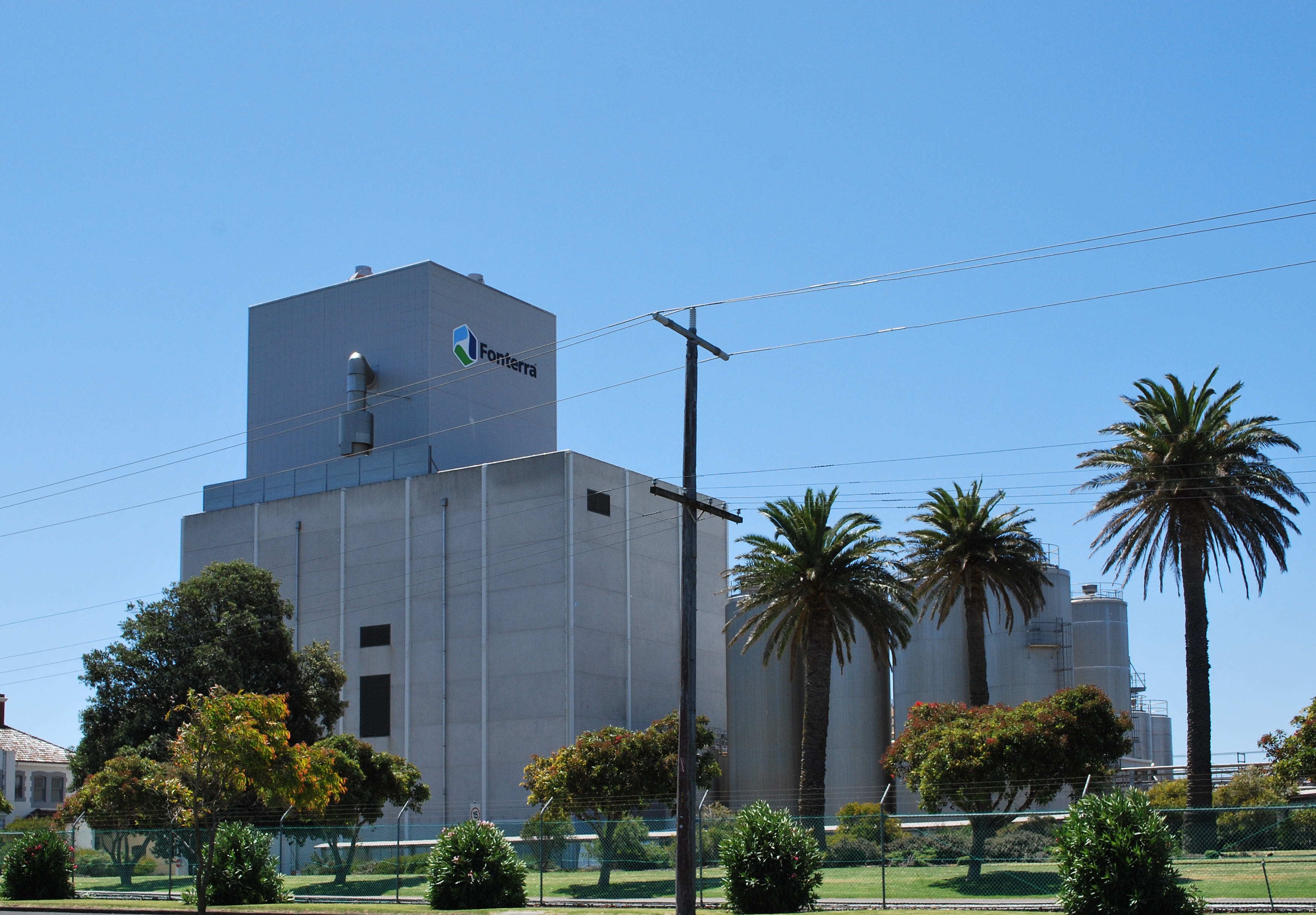
Powdered milk factory at Dennington
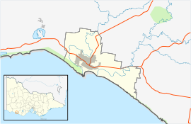
Dennington is located in City of Warrnambool
{{{alt}}}
Dennington
Population: 1,171.[1]
Postcode: 3280
Coordinates: 38°21′21″S 142°26′29″E / 38.35583°S 142.44139°E / -38.35583; 142.44139Coordinates: 38°21′21″S 142°26′29″E / 38.35583°S 142.44139°E / -38.35583; 142.44139
Location:
LGA: City of Warrnambool
State District: South West Coast
Federal Division: Wannon

Dennington is a town in the Western District of Victoria, Australia. The town is located in the City of Warrnambool local government area, 270 kilometres (170 mi) south west of the state capital, Melbourne and 5 kilometres (3.1 mi) north west of the regional centre of Warrnambool. At the 2006 census, Dennington had a population of 1,171.[1]

The town is home to a large bulk milk powder plant operated by New Zealand dairy co-operative, Fonterra.[2]

References


Wikimedia Foundation. 2010.

Игры ⚽ Нужна курсовая?

Look at other dictionaries:

  • Dennington — Coordinates: 52°13′17″N 1°20′28″E / 52.22146°N 1.34101°E / 52.22146; 1.34101 …   Wikipedia

  • Port Fairy railway line, Victoria — VictorianRailwayLineInfobox type = vic name = Port Fairy yearcommenced = yearopened = 1857 yearcompleted = 1890 yearclosed = fate = lengthkm = stations = tracks = Double broad gauge track to Geelong, single beyond. Single standard gauge to North… …   Wikipedia

  • List of localities in Victoria (Australia) — Map of Local Government Areas in Victoria This is a list of locality names and populated place names in the state of Victoria, Australia, outside the Melbourne metropolitan area. It is organised by region from the south west of the state to the… …   Wikipedia

  • Liste der Orte in Victoria — Dies ist eine Liste der Vororte und Orte von Melbourne und des australischen Bundesstaats Victoria mit ihrem jeweils zugehörigen Postcode (Einige Vororte teilen den gleichen Postcode). Alle Postcodes Victorias beginnen mit 3 . Inhaltsverzeichnis… …   Deutsch Wikipedia

  • Koroit, Victoria — Infobox Australian Place | type = town name = Koroit state = vic caption = lga = Shire of Moyne postcode = 3282 est = 1857 pop = 1,380 elevation= maxtemp = mintemp = rainfall = stategov = South West Coast fedgov = Wannon dist1 = 278 dir1 = SW… …   Wikipedia

  • Liste der Orte in Victoria (Australien) — Dies ist eine Liste der Vororte und Orte von Melbourne und des australischen Bundesstaats Victoria mit ihrem jeweils zugehörigen Postcode (Einige Vororte teilen den gleichen Postcode). Alle Postcodes Victorias beginnen mit 3 . Inhaltsverzeichnis… …   Deutsch Wikipedia

  • Warrnambool, Victoria — Infobox Australian Place | type = city name = Warrnambool state = vic caption = Location of Warrnambool in Victoria (red) pop = 30,392 (2006)Census 2006 AUS | id = 2025 | name = Wangaratta (Statistical District) | accessdate = 2007 10 01 | quick …   Wikipedia

  • List of localities (Victoria) — This is a list of places in the State of Victoria, Australia. It is presently highly incomplete. For places in the Greater Melbourne area, see List of Melbourne suburbs. Rural and Regional CitiesRural City of Ararat*Ararat *WillauraCity of… …   Wikipedia

  • Warrnambool railway station, Victoria — VlineRailwayStation1 NAME=Warrnambool IMAGELINK=WarrnamboolRailwayStation8.jpg CAPTION=Looking along the platform in the Melbourne direction CODE=WNB DISTANCE=269.30 km LINES=Warrnambool PLATFORMS=1 TRACKS=3 STATUS=Staffed Station FACILITIES=… …   Wikipedia

  • List of Australian rules football competitions in Victoria — Victorian Football League= *Bendigo Bombers *Box Hill Hawks *Casey Scorpions *Coburg Tigers *Frankston Dolphins *Geelong Cats *North Ballarat Roosters *Northern Bullants *Port Melbourne Borough *Sandringham Zebras *Tasmanian Devils *Werribee… …   Wikipedia

Share the article and excerpts

Direct link
Do a right-click on the link above
and select “Copy Link”