- Deir Razih
-
Deir Razih Other transcription(s) – Arabic دير رازح – Also spelled Khirbet Deir Razih (official)
Dayr Razih (unofficial)Location of Deir Razih within the Palestinian territories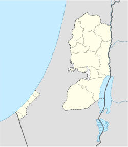
 Deir Razih
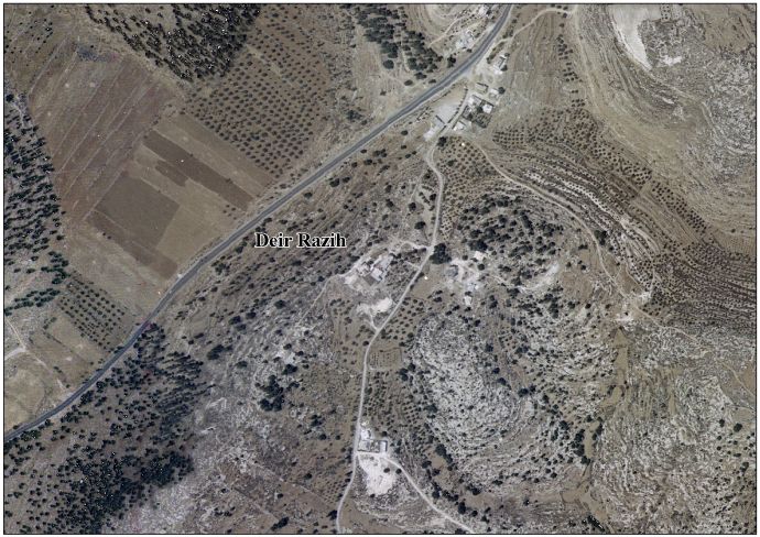
Coordinates: 31°28′00.46″N 35°02′29.67″E / 31.4667944°N 35.041575°ECoordinates: 31°28′00.46″N 35°02′29.67″E / 31.4667944°N 35.041575°E Governorate Hebron Government – Type Local Development Committee Area – Jurisdiction 540 dunams (0.5 km2 / 0.2 sq mi) Population (2007) – Jurisdiction 268 Deir Razih (Arabic: دير رازح) is a Palestinian village in the southern West Bank located 11 kilometers (6.8 mi) southwest of Hebron, in the Hebron Governorate. It relies mainly on nearby Dura for basic services. Its total land area is made of 540 dunams, including its built-up area.[1]
In the summer of 2007, a group of Israeli settlers from Otni'el accompanied by soldiers and a bulldozers entered village lands and uprooted 150 olive, almond and pine trees. Having done this they, also, set fire to the land causing damage to crops and pastures. Fire brigades from the Palestinian municipalities of Dura and as as-Samu' extinguish the fires soon after.[1]
Deir Razih had a population of 130 in 1961. In the 1997 census by the Palestinian Central Bureau of Statistics (PCBS), the village had a total population of 236, of which 11.9% were Palestinian refugees.[2] By mid-year 2006, there were 328 inhabitants.[3] However, the PCBS census of 2007 revealed that the population was 268.[4] Deir Razih is inhabited by the extended families of Amru, Abu Arqub, Hija, and the al-Azazmeh Bedouins. Most residents depend on agriculture as main income.[1]
References
- ^ a b c Background to Deir Razih Applied Research Institute - Jerusalem. 1 April 2008.
- ^ Palestinian Population by Locality and Refugee Status Palestinian Central Bureau of Statistics (PCBS).
- ^ Projected Mid -Year Population for Hebron Governorate by Locality 2004- 2006 Palestinian Central Bureau of Statistics (PCBS).
- ^ 2007 PCBS Census Palestinian Central Bureau of Statistics. p.118.
External links
- Deir Razih Village (Fact Sheet)
- Deir Razih Village Profile
- Deir Razih Village Area Photo
- The priorities and needs for development in Deir Razih village based on the community and local authorities’ assessment
Hebron Governorate Cities 

Municipalities Bani Na'im · Beit Awwa · Beit Ula · Beit Ummar · Deir Sammit · Idhna · Kharas · Nuba · Sa'ir · as-Samu · Surif · Taffuh · TarqumiyahVillage Councils Beit 'Amra · Beit Einun · Beit Kahil · Beit ar-Rush al-Fauqa · Beit ar-Rush al-Tahta · al-Burj · Deir al-'Asal al-Fauqa · Deir al-'Asal al-Tahta · Deir Razih · ad-Duwwara · Hadab al-Fawwar · al-Heila · Hureiz · Imreish · al-Kum · Karma · al-Karmil · Khalet al-Maiyya · Khirbet Safa · Khirbat al-Simia · Khursa · Kuseis · al-Majd · Qalqas · Qila · al-Ramadien · ar-Rihiya · ash-Shuyukh · Shuyukh al-Arrub · as-Sura · at-Tabaqa · Tarrama · al-Uddeisa · ZifRefugee camps Categories:- Hebron Governorate
- Villages in the West Bank
- Palestine geography stubs


Wikimedia Foundation. 2010.