Route 466 (Japan) — Infobox road state=Japan type=National route=466 maint= name notes= 国道466号 length km=18.4 length round= length ref= established= direction a= terminus a= junction= direction b= terminus b= browse= commons=category customcommons=Route 466… … Wikipedia
japan — japanner, n. /jeuh pan /, n., adj., v., japanned, japanning. n. 1. any of various hard, durable, black varnishes, originally from Japan, for coating wood, metal, or other surfaces. 2. work varnished and figured in the Japanese manner. 3. Japans,… … Universalium
Japan — /jeuh pan /, n. 1. a constitutional monarchy on a chain of islands off the E coast of Asia: main islands, Hokkaido, Honshu, Kyushu, and Shikoku. 125,716,637; 141,529 sq. mi. (366,560 sq. km). Cap.: Tokyo. Japanese, Nihon, Nippon. 2. Sea of, the… … Universalium
National highways of Japan — See also: Expressways of Japan A structure of a blank national shield … Wikipedia
Odawara, Kanagawa — Odawara 小田原 Special city 小田原市 Hojo Godai Festival on May, and famou … Wikipedia
Miyamae-ku, Kawasaki — Miyamae 宮前 Ward of Kawasaki 宮前区• Miyamae ku … Wikipedia
Takatsu-ku, Kawasaki — Takatsu ku (高津区) is a ward of Kawasaki, Kanagawa, Japan. As of May 2008 it has a population of 211,893. Details *Ward Flower: Narcissus *Ward Tree: Ume TownsMizonokuchi, Futago, Seta, Suwa, Kitamigata, Shimonoge, Hisamoto, Sakado, Kuji, Unane,… … Wikipedia
Nakahara-ku, Kawasaki — Nakahara 中原 Ward of Kawasaki 中原区• Nakahara ku … Wikipedia
Liste der japanischen Nationalstraßen — Dies ist eine Liste der japanischen Nationalstraßen. Zeichen Nummer Von Bis Via Nationalstraße 1 Nihonbashi (Chūō (Tokio)) Ōsaka Kawasaki Yokohama … Deutsch Wikipedia
Hodogaya-ku, Yokohama — in Yokohama, Japan, established 1927, is one of the 18 wards of the city of Yokohama in Kanagawa Prefecture, Japan. Originally including the area of the Asahi Ward, the ward was split in 1969. The area is 21.81 square km and the population is… … Wikipedia

 Route 246 at Setagaya, Tokyo
 Shuto Expressway at Hodogaya-ku, Yokohama
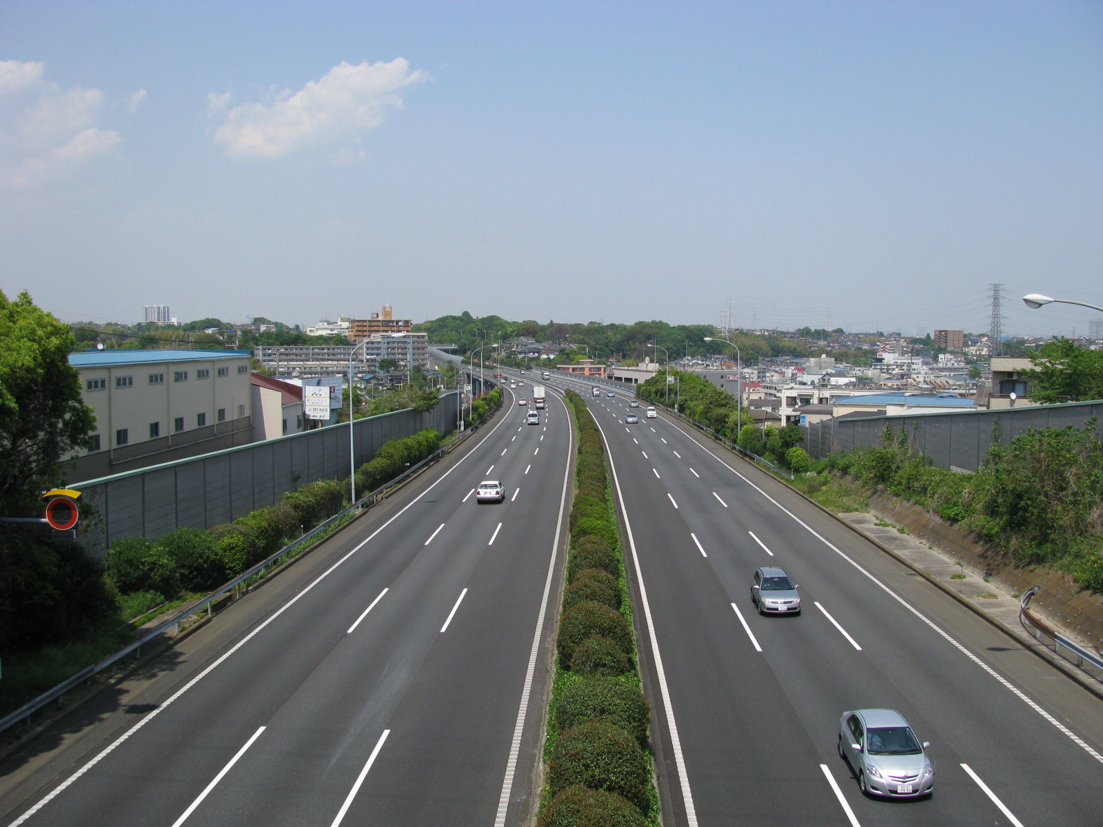
 Daisan Keihin Road near Kawasaki.