- Dabar, Lika-Senj County
-
Dabar — Naselje — Scattered settlement Dabar.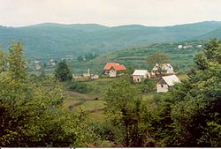 Location of Dabar in Croatia
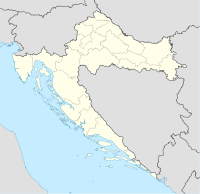
 Dabar
DabarCoordinates: 45°2′33″N 15°6′1″E / 45.0425°N 15.10028°ECoordinates: 45°2′33″N 15°6′1″E / 45.0425°N 15.10028°E Country Croatia County Lika-Senj County Town Otočac Elevation 552 m (1,811 ft) Population (2001)[1] - Settlement 207 Time zone CET (UTC+1) - Summer (DST) CEST (UTC+2) Postal code 53222 Area code +385-53 License plates GS Dabar is a village in Croatia, 21 km northeast of Otočac and a part of the Town of Otočac municipality.
Contents
History
The ruins of a fortress called by the folk Sokolić rise on Vučjak hill; it has a square ground-plan and one cylindrical angle tower. First mentioned in 1499 as a fortress of the Frankopans, remained a borderline stronghold until the Turks were expelled from Lika. In 1773 already a "completely demolished town".
Gallery
-
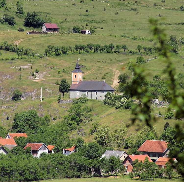
Main catholic church
-

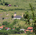
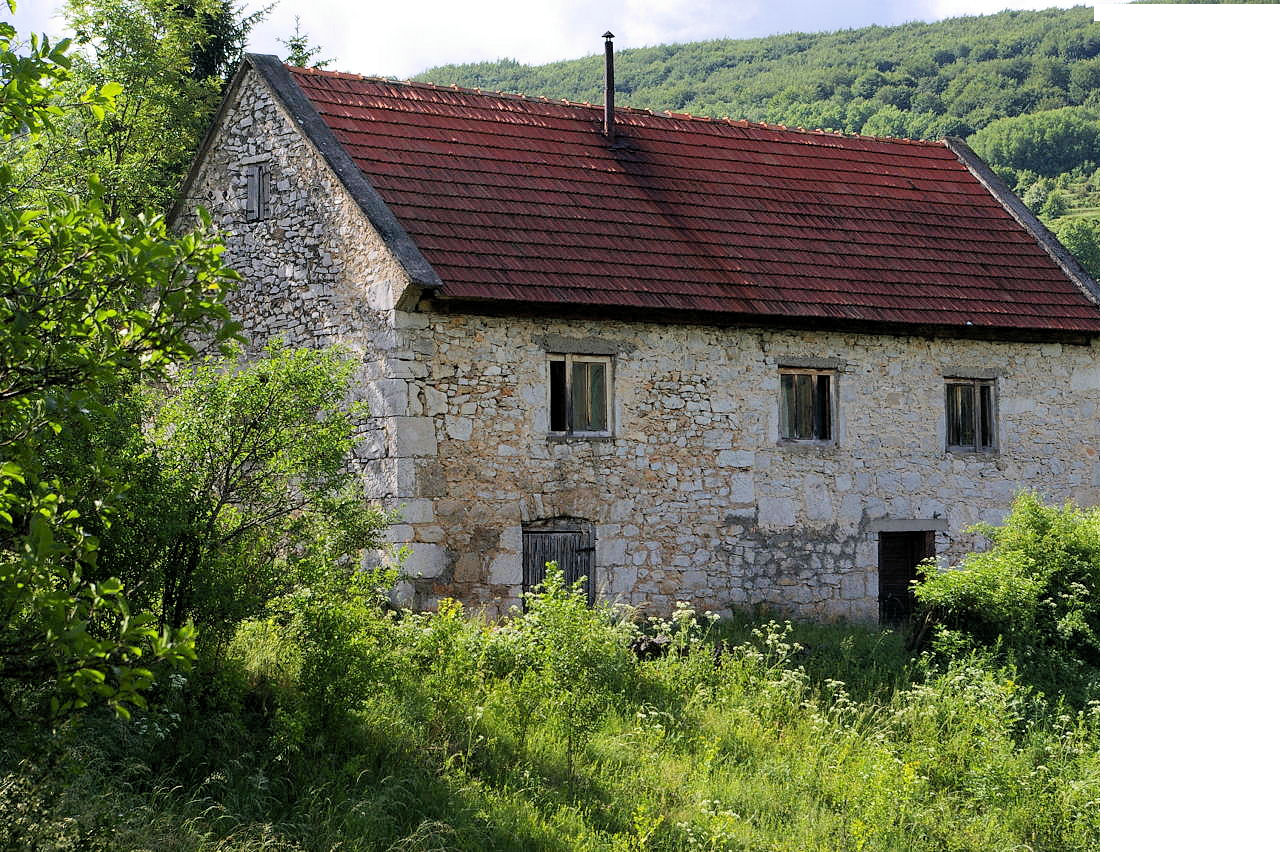
Nekić House, the former homestead
-

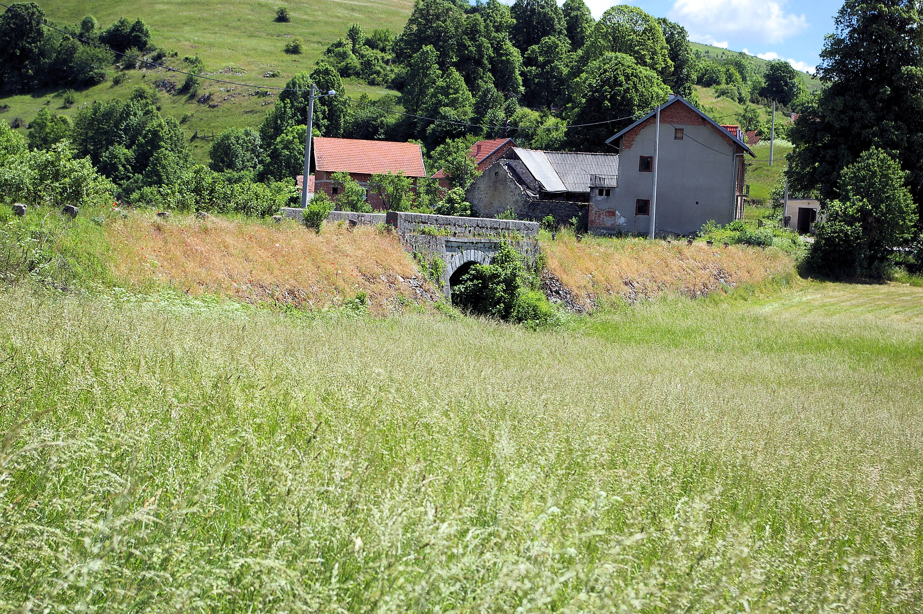
Bridge of Dabar. Geographically, the lowest point
References
- ^ Population by sex and age, by settlements, Census 2001 – Republic of Croatia - Croatian Bureau of Statistics, www.dzs.hr
External links
Categories:- Populated places in Lika-Senj County
- Lika-Senj County geography stubs
-


Wikimedia Foundation. 2010.