- D116 road (Croatia)
-
D116 state road
Route information Length: 77.9 km (48.4 mi) Major junctions From:  Sućuraj ferry port
To: Hvar Location Counties: Split-Dalmatia Major cities: Jelsa, Stari Grad, Milna, Hvar Highway system State roads in Croatia
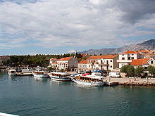 Sućuraj, at the eastern terminus of the D116 road
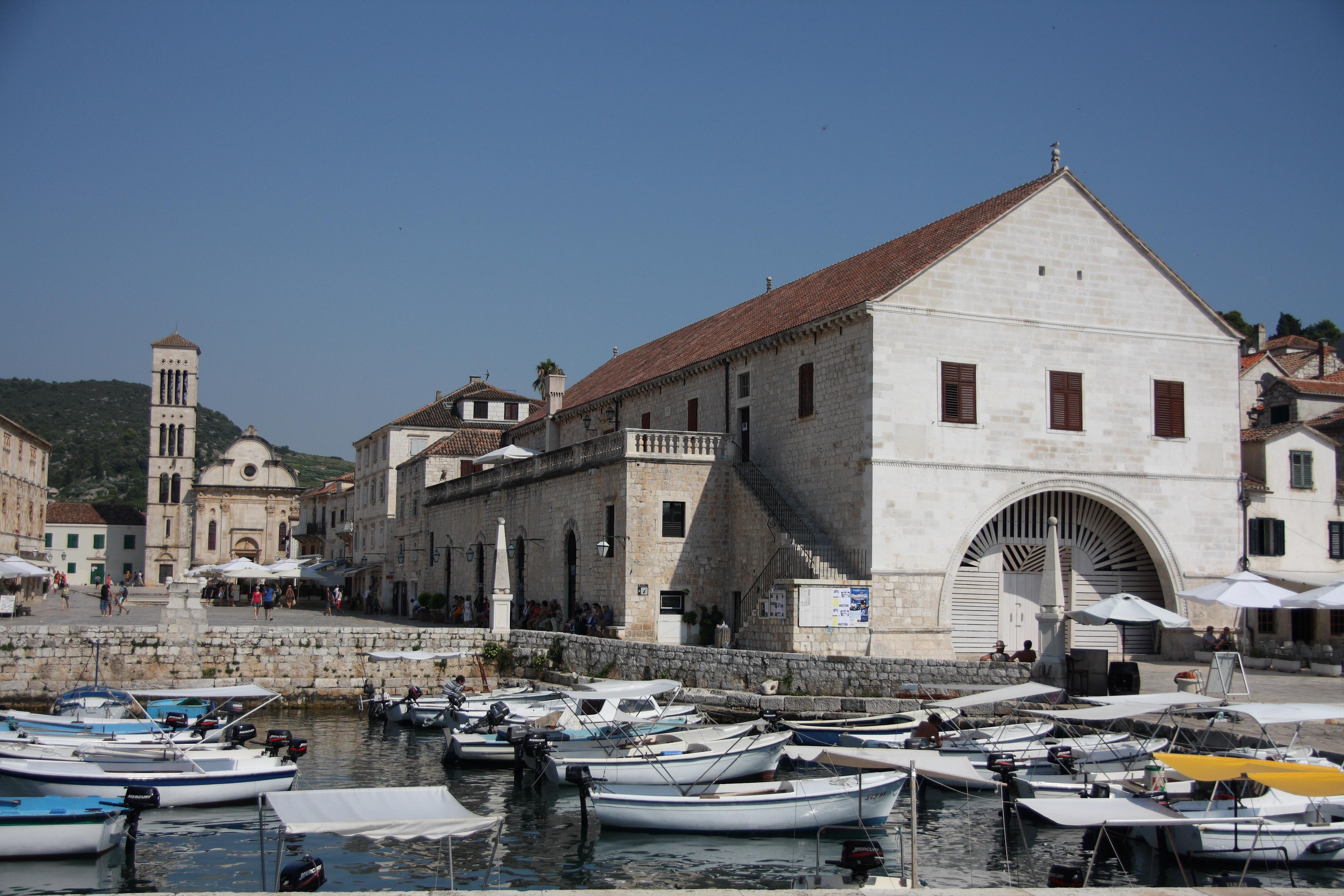
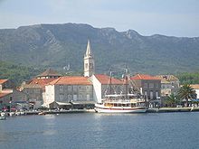 Jelsa, on the D116 road route
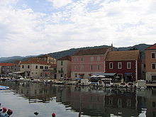 Stari Grad, on the D116 road route
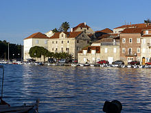 Milna, on the D116 road route
 Town of Hvar, at the western terminus the D116 road
D116 is the main state road on island of Hvar in Croatia connecting towns of Hvar, Milna, Stari Grad and Jelsa to Sućuraj and ferry ports, from where Jadrolinija ferries fly to the mainland, docking in Split and the D410 state road (from Hvar and Stari Grad) and Drvenik and the D412 state road (from Sućuraj).[1] The road is 77.9 km (48.4 mi) long.[2]
The road, as well as all other state roads in Croatia, is managed and maintained by Hrvatske ceste, a state-owned company.[3]
Contents
Traffic volume
Traffic is regularly counted and reported by Hrvatske ceste (HC), operator of the road. Furthermore, the HC report number of vehicles using ferry lines from Split and Drvenik, connecting the D116 road to the D410 and the D412 state roads.[4] Substantial variations between annual (AADT) and summer (ASDT) traffic volumes are attributed to the fact that the road connects a number of island resorts to the mainland.
D116 traffic volume Road Counting site AADT ASDT Notes  D116
D116632 Drvenik-Sućuraj 253 686 Vehicles using Drvenik-Sućuraj ferry line. D1166006 Gdinj 381 954 Adjacent to the L67196 junction. D116635 Split-Stari Grad 380 932 Vehicles using Split-Stari Grad ferry line. Road junctions and populated areas
D116 junctions/populated areas Type Slip roads/Notes 
Sućuraj ferry port – access to the mainland ferry dock in Drvenik (by Jadrolinija)[1] and D412 to Drvenik (Makarska) and D8 state road.
The eastern terminus of the road.
Sućuraj Gdinj 
L67196 to Pokrivenik Zastražišće Poljica Humac Jelsa Ž6205 to Vrboska Ž6204 to Dol
Stari Grad
Ž6252 to Brusje and Hvar.
Ž6202 to Arkada Hotel.
Ferry access to the mainland port of Split (by Jadrolinija)[1] and D410 to Split (city) and A1 motorway Dugopolje interchange.[5]Selca kod Starigrada Zaraće Milna
Hvar
Ž6252 to Brusje and Stari Grad.
Ž6269 to Vira.
Ferry access to the mainland port of Split (by Jadrolinija)[1] and D410 to Split (city) and A1 motorway Dugopolje interchange.[5]
The western terminus of the road.See also
- State roads in Croatia
- Hrvatske ceste
- Jadrolinija
Sources
- ^ a b c d "Jadrolinija ferry service" (in English). May 11, 2010. http://www.jadrolinija.hr/default.aspx?lang=2.
- ^ "Decision on categorization of public roads as state roads, county roads and local roads" (in Croatian). Narodne novine. February 17, 2010. http://narodne-novine.nn.hr/clanci/sluzbeni/2010_02_17_410.html.
- ^ "Public Roads Act" (in Croatian). Narodne novine. December 14, 2004. http://narodne-novine.nn.hr/clanci/sluzbeni/2004_12_180_3130.html.
- ^ "Traffic counting on the roadways of Croatia in 2009 – digest" (in English). Hrvatske ceste. May 1, 2010. http://www.hrvatske-ceste.hr/WEB%20-%20Legislativa/brojenje-prometa/CroDig2009.pdf.
- ^ a b "Regulation on motorway markings, chainage, interchange/exit/rest area numbers and names" (in Croatian). Narodne novine. May 6, 2003. http://narodne-novine.nn.hr/clanci/sluzbeni/305463.html.
Categories:- State roads in Croatia
- Split-Dalmatia County


Wikimedia Foundation. 2010.