- D102 road (Croatia)
-
D102 state road
Route information Length: 48.3 km (30.0 mi) Major junctions From:  D8 /
D8 /  D523 near Šmrika
 D103 near Rijeka Airport
 D104 near Malinska
To: Baška Location Counties: Primorje-Gorski Kotar Major cities: Omišalj, Malinska, Krk Highway system State roads in Croatia
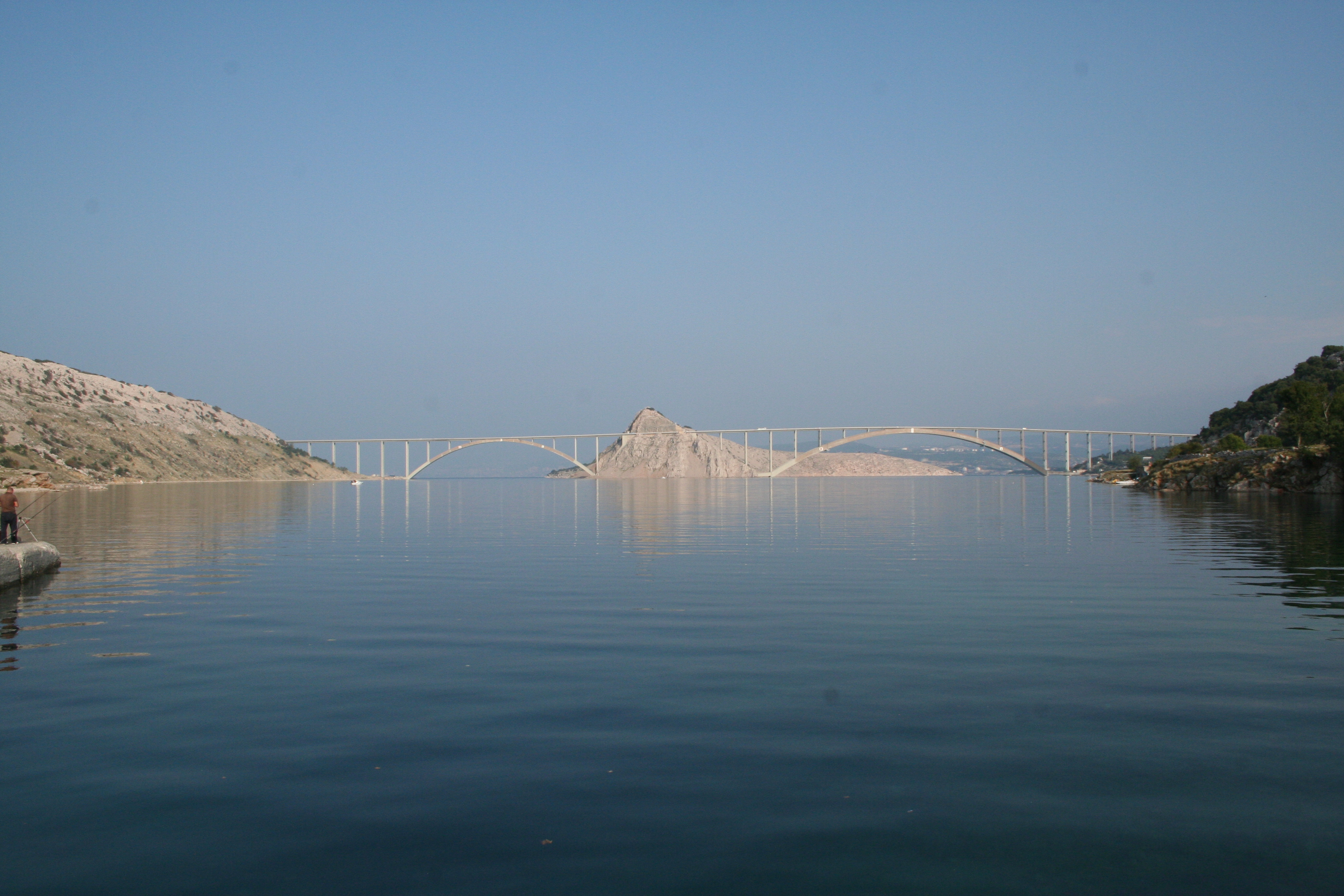
 Krk bridge, carrying the D102 state road
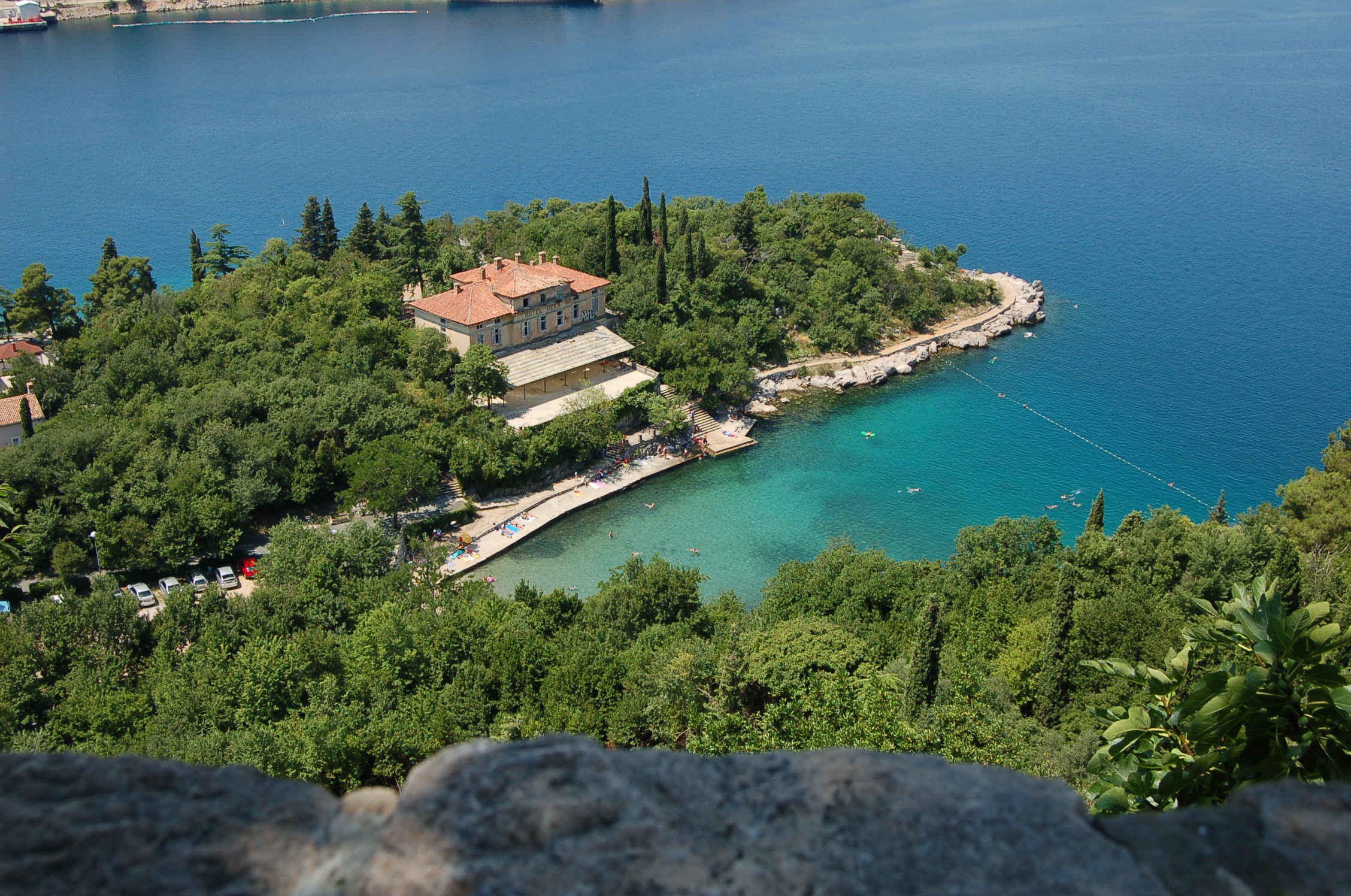
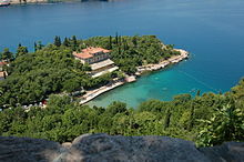 Omišalj, next to the D102 route
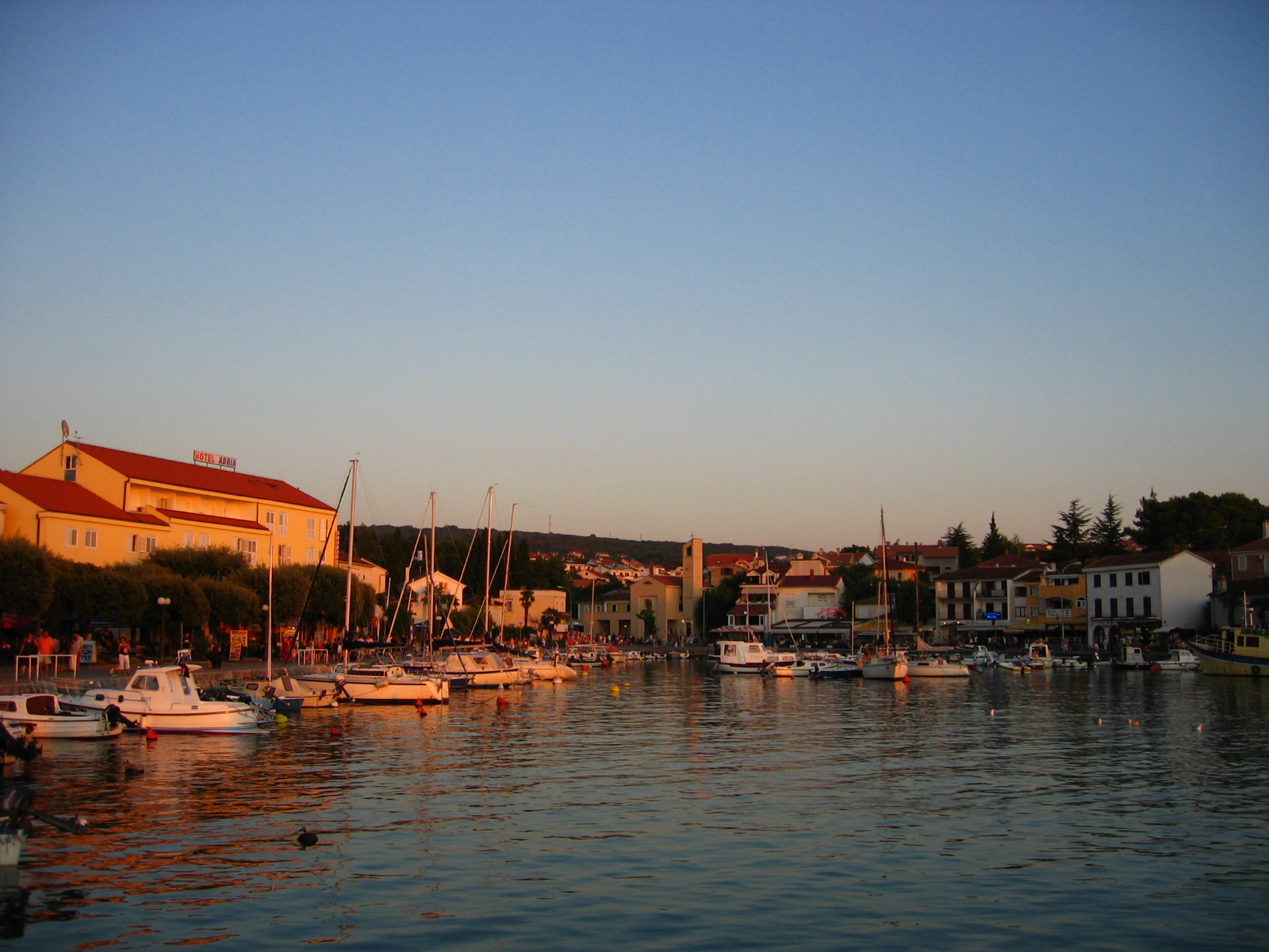
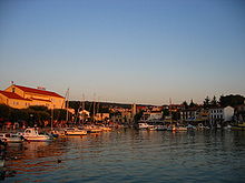 Malinska, next to the D102 route
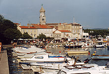 the city of Krk, next to the D102 route
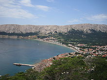 Baška, at the southern terminus of D102
D102 is a state road connecting the mainland to island of Krk and terminating at the southern tip of the island in Baška. The road is 48.3 km long.[1]
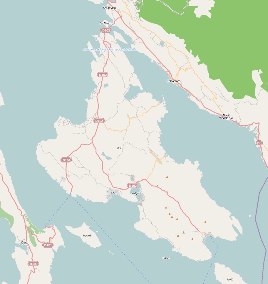
D102 is the main road route on the island of Krk. The northern terminus of the road is located near Kraljevica, at an intersection with D8 state route - the Adriatic Highway. The road includes Krk bridge.
In the northern part of the island, between Omišalj and Malinska it runs parallel to the shore at a distance of approximately 2 km. In that section, short D103 state road connects D102 to Rijeka Airport. Further to the south, D102 extends through the centre of the island to the city of Krk. In that section, another state road, D104 branches off to the southwest towards Valbiska ferry port. D102 bypasses the city of Krk, and proceeds southeast to Baška.
The road, as well as all other state roads in Croatia, is managed and maintained by Hrvatske ceste, a state-owned company.[2] However, Krk Bridge is managed by Autocesta Rijeka - Zagreb company.[3]
Contents
 Map of Krk showing D102
Traffic volume
Traffic is regularly counted and reported by Hrvatske ceste, operator of the road.[4] Substantial variations between annual (AADT) and summer (ASDT) traffic volumes are attributed to the fact that the road serves as a connection to A6 motorway and D8 state road carrying substantial tourist traffic.
D102 traffic volume Road Counting site AADT ASDT Notes  D102
D1022919 Krk Bridge 9,660 19,060 Values estimated by HC. D1022922 Omišalj 8,326 14,804 Between Ž5083 and L58065 junctions. D1022924 Sveti Vid 8,976 19,387 Between Ž5084 and Ž5086 junctions. D1022934 Krk 3,762 8,335 Between two Ž5131 junctions. D1022930 Kornić 5,691 14,885 Between Ž5131 (east) and L58091 junctions. Road junctions and populated areas
D102 junctions/populated areas/toll plazas Type Slip roads/Notes  D523 - Connection to Križišće, and further on to D501 and A6 motorway.
D8 - Connection to Rijeka and A7 motorway (to the west) and to Crikvenica and Novi Vinodolski (to the east).
Northern terminus of the road. D102 northbound traffic defaults to D523.
Ž5189 to Uvala Scott 
Krk Bridge toll plaza. Only southbound traffic is tolled. 
Krk Bridge - 1,430 m (4,690 ft) long reinforced concrete arch bridge. D103 to Rijeka AirportŽ5083 to Omišalj L58065 to Medermunići, Omišalj Ž5084 to Njivice Ž5086 to Malinska, Sv. Vid Miholjice and Porat Ž5087 to Malinska, Sv. Vid Miholjice, Dobrinj and Šilo D104 to Valbiska ferry port - Jadrolinija ferry access to Merag, island of Cres [5] (D101) and Lopar, island of Rab[6] (D105).Ž5106 to Vrh Ž5107 to Dobrinj and Šilo Ž5131 to Krk (west) Ž5131 to Krk (east) - Ž5131 loops from D102 to Krk and back further down D102. L58091 to Kornić Ž5125 to Punat and Stara Baška Ž5183 to Vrbnik 
Draga Bašćanska Jurandvor - L58098 junction in the village (to Batomalj). Baška - Southern terminus of the road. Sources
- ^ "Decision on categorization of public roads as state roads, county roads and local roads" (in Croatian). Narodne novine. February 17, 2010. http://narodne-novine.nn.hr/clanci/sluzbeni/2010_02_17_410.html.
- ^ "Public Roads Act" (in Croatian). Narodne novine. December 14, 2004. http://narodne-novine.nn.hr/clanci/sluzbeni/2004_12_180_3130.html.
- ^ "Krk Bridge" (in English). Rijeka - Zagreb Motorway. May 19, 2010. http://www.arz.hr/index.php?page=3&sub=18&lng=2.
- ^ "Traffic counting on the roadways of Croatia in 2009 - digest" (in English). Hrvatske ceste. May 1, 2010. http://www.hrvatske-ceste.hr/WEB%20-%20Legislativa/brojenje-prometa/CroDig2009.pdf.
- ^ "Jadolinija ferry service" (in English). May 11, 2010. http://www.jadrolinija.hr/default.aspx?lang=2.
- ^ "LNP ferry service schedule" (in English). May 11, 2010. http://www.lnp.hr/plovidbeni-red.aspx?l=2.
See also
- State roads in Croatia
- Hrvatske ceste
- Autocesta Rijeka - Zagreb
- Krk Bridge
Categories:- State roads in Croatia
- Primorje-Gorski Kotar County


Wikimedia Foundation. 2010.