- Cribarth
-
Cribarth 
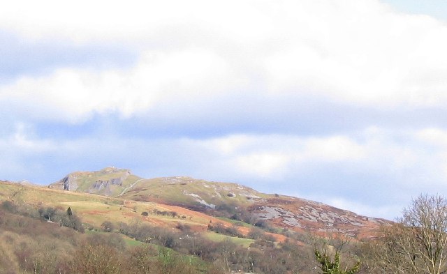
"Sleeping giant" profile of Cribarth viewed from the southwestElevation 423 m (1,388 ft) Location Location Powys,  Wales
WalesRange Brecon Beacons Coordinates 51°48′50″N 3°42′04″W / 51.814°N 3.701°WCoordinates: 51°48′50″N 3°42′04″W / 51.814°N 3.701°W OS grid SN828142 Cribarth is a hill in the Brecon Beacons National Park in the county of Powys, south Wales. The summit of the hill is at 423m and lies at the southwest end of a mile long ridge. It is marked by a trig point. [1]
The hill is sometimes referred to as The Sleeping Giant after the resemblance of its skyline to such a figure when seen from further down the upper Swansea Valley.
Contents
Geology
The hill is formed from both Carboniferous Limestone rocks and the Namurian age Twrch Sandstone (former 'Basal Grit') of the Marros Group (former 'Millstone Grit Series'), also dating from the Carboniferous period. It lies on the northeast-southwest aligned geological structure known as the Cribarth Disturbance and indeed gives its name to that regionally important structure. The Disturbance is characterised locally by a tight anticline which follows the alignment of the summit ridge and which is accompanied by one or two lesser ffolds on its northwestern side.
Numerous crags, restricted areas of broken limestone pavement and shakeholes adorn the slopes of this hill as do various man-made features relating to its geology and described below.
The hill has been used by generations of geology students for mapping practice. [2]
Industrial archaeology
The tightly folded limestone beds of the summit ridge of Cribarth are intensely fractured making them easy to quarry. Numerous quarries were worked around the summit of the mountain and on its flanks during the nineteenth century and the rock removed by tram. Several kilometres of abandoned tramroads weave around the hill and two major inclines link this high-level network to the former Swansea Canal in the Tawe valley below. The remains of numerous limekilns can also be seen. Rottenstone was also worked to the north and west of Cribarth.
Access
Other than its lower eastern flanks, the entire hill is open country and therefore available for walkers to wander over at will. Various public footpaths and bridleways provide access over its lower slopes from the communities in the upper Swansea Valley such as Abercraf, Ynyswen and Pen-y-cae. A popular ascent of the hill is by way of a concessionary path starting near Craig-y-Nos Castle.
References
External links
Categories:- Mountains and hills of Powys
- Mountains and hills of south Wales
- Black Mountain, Wales
Wikimedia Foundation. 2010.