- Crawfordsville, Illinois
-
Crawfordsville, Illinois — Ghost town — 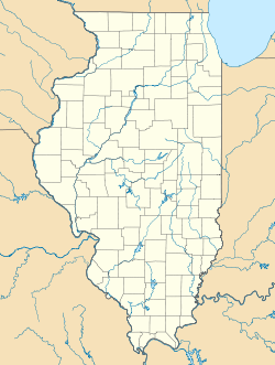
 Crawfordsville, Illinois
Coordinates: 38°52′00″N 87°40′10″W / 38.8666667°N 87.66944°WCoordinates: 38°52′00″N 87°40′10″W / 38.8666667°N 87.66944°W Country United States State Illinois County Crawford Elevation 449 ft (137 m) GNIS feature ID 1807711[1] Crawfordsville is a ghost town in Crawford County, Illinois, United States. Crawfordsville was 2.5 miles (4.0 km) south of Flat Rock, and about the same distance north of Birds. The townsite lies on both sides of the dividing line between Honey Creek Township and Montgomery Township.
References
Municipalities and communities of Crawford County, Illinois County seat: Robinson City 
Villages Flat Rock | Hutsonville | Oblong | Palestine | Stoy
Townships Honey Creek | Hutsonville | Lamotte | Licking | Martin | Montgomery | Oblong | Prairie | Robinson | Southwest
Unincorporated
communitiesAnnapolis | Bellair | Dogwood | Duncanville | Gordon | Green Brier | Hardinville | Heathsville | Kibbie | Landes | Morea | New Hebron | Oil Center | Oil Grove | Pierceburg | Port Jackson | Porterville | Richwoods | Riddleville‡ | Trimble | Villas | West York
Ghost town Crawfordsville
Footnotes ‡This populated place also has portions in an adjacent county or counties
Categories:- Geography of Crawford County, Illinois
- Ghost towns in Illinois
- United States ghost town stubs
- Southern Illinois geography stubs

Wikimedia Foundation. 2010.