- Arrawatta County
-
Arrawatta
New South Wales
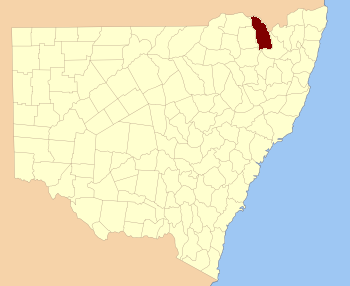
Location in New South WalesLands administrative divisions around Arrawatta Stapylton Clive (Qld) Clive (Qld) Burnett Arrawatta Clive Murchison Hardinge Gough Arrawatta County, New South Wales is one of the 141 Cadastral divisions of New South Wales. It includes Ashford. The name Arrawatta is thought to be derived from a local aboriginal word for the area that includes Arrawatta County.[1]
Parishes
A full list of parishes found within this county; their current LGA and mapping coordinates to the approximate centre of each location is as follows:
References
Categories:- Counties of New South Wales
Wikimedia Foundation. 2010.