- Cornhill, Boston
-
This article is about the Boston street named in 1829. For the Cornhill section of Washington Street, see Washington Street (Boston).
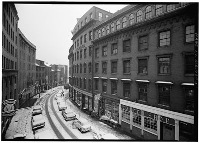 Cornhill, Boston, 1962
Cornhill was a street in Boston, Massachusetts, in the 19th-20th centuries, located on the site of the current City Hall Plaza in Government Center. It was named in 1829; previously it was known as Market Street (1807-1828).[1][2] In its time, it comprised a busy part of the city near Brattle Street, Court Street and Scollay Square. As of 1969, Cornhill exists as 144 feet along the edge of City Hall Plaza.[3]See also
- City Hall Plaza
- Sear's Crescent building (built 1816) 100 City Hall Plaza; formerly 38-68 Cornhill)[4][5]
- Sear's Block (built 1848) corner Court + Washington St., formerly 70-72 Cornhill[6][7]
- Previous tenants of Cornhill
- Annin & Smith, 19th c. engravers[8]
- Iver Johnson Sporting Goods Company, Located in the Iver Johnson Building, corner of Washington Street and Cornhill
- Daniel Clement Colesworthy, bookseller, ca.1850s[9]
- Frost & Adams, art supplies
- The Liberator (anti-slavery newspaper), published by Isaac Knapp, Cornhill, ca.1837[10]
Image gallery
-
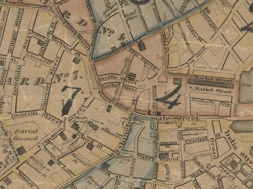
Detail of 1826 map of Boston, showing Market Street (renamed Cornhill in 1828)
-

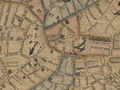
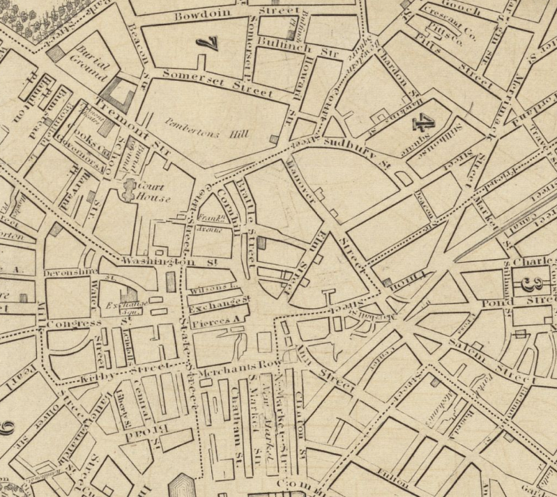
Detail of 1832 map of Boston, showing Cornhill and vicinity
-
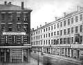
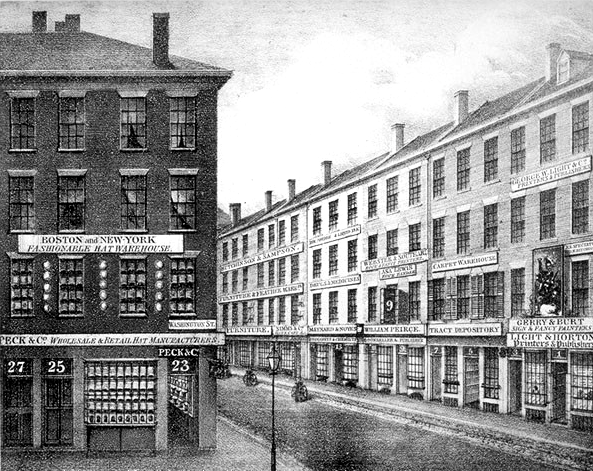
Cornhill, ca.1836. Shows shops of Light & Horton; Gerry & Burt; George W. Light; Peck & Co.; William Peirce; etc.
-

Advertising for the Prisoner's Friend published on Cornhill, ca.1840s. "Devoted to the abolition of capitol punishment, and the improvement of prison discipline"
-
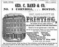
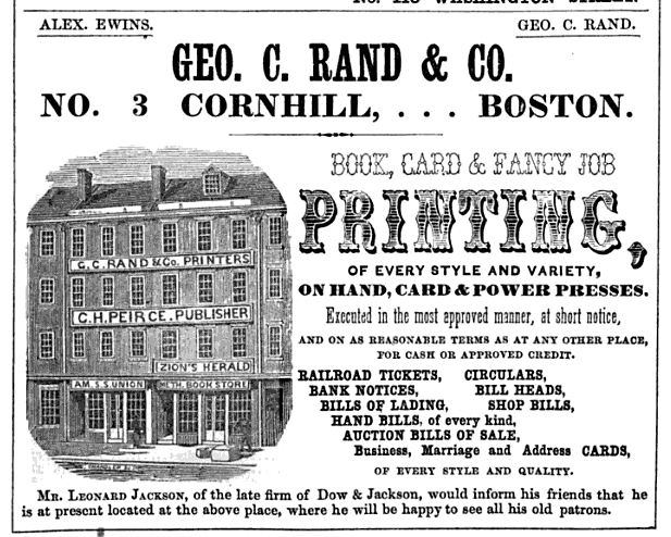
Advertisement for George C. Rand & Co. printers, 1849
-
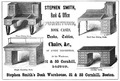
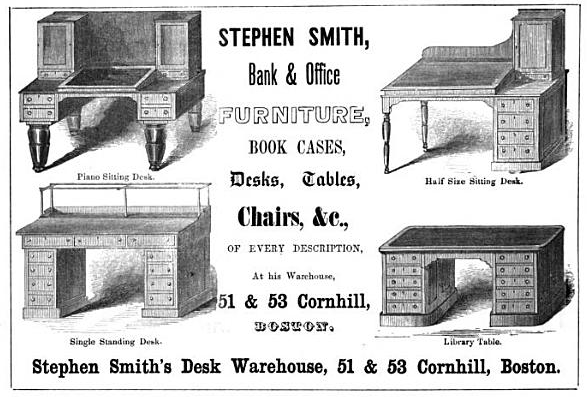
Advertisement for Stephen Smith's Desk Warehouse, 1854
-
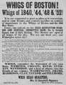
Whig Head Quarters, 1856
-

Ad for James Campbell, antiquarian bookshop, ca.1860s[11]
-
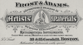
Ad for Frost & Adams, artists' materials, 19th c.
-

ca.1897
-

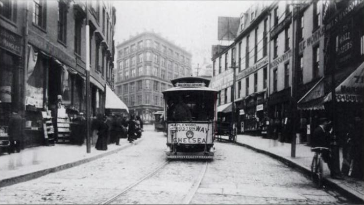
Cornhill, Boston, ca.1905
-
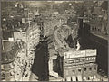
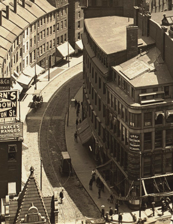
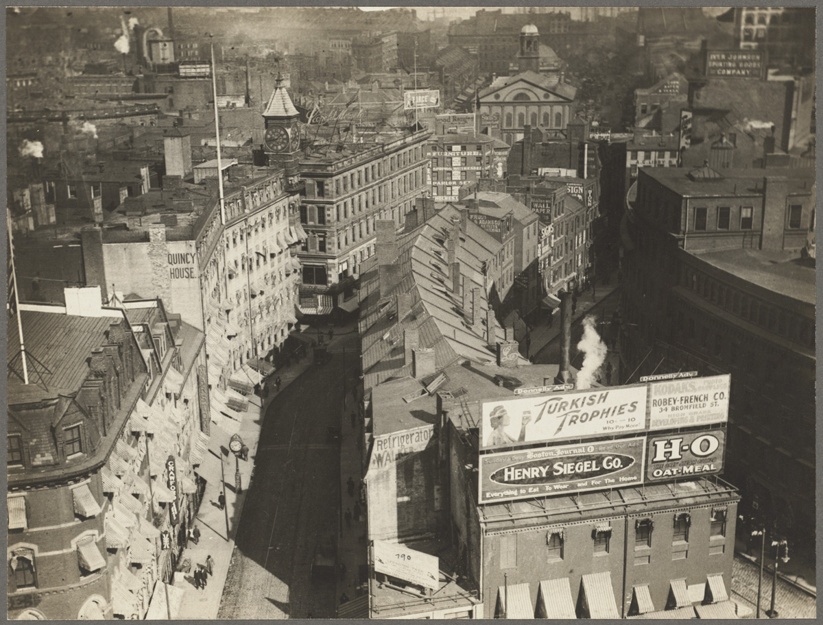
Overview of Brattle St. (left), Cornhill (right), and Faneuil Hall (upper right), ca.1920
References
- ^ Edward Hartwell Savage. Boston events. Boston: Mutual News Co., 1886
- ^ From 1708 to 1824, a portion of Washington Street was known as "Cornhill;" cf. Boston Street Laying-Out Dept. A record of the streets, alleys, places, etc. in the city of Boston. Boston: City Printing Dept., 1910.
- ^ "Public way. Open from Franklin Ave to approximately 144 feet easterly." cf. City of Boston. Street Book. Retrieved 2010-06-17
- ^ http://nrhp.focus.nps.gov/
- ^ AIA Guide to Boston. 2008
- ^ AIA Guide to Boston. 2008
- ^ http://nrhp.focus.nps.gov/
- ^ Boston Directory. 1832
- ^ Boston Directory. 1857
- ^ American Broadsides and Ephemera, Series 1, no. 5153
- ^ Boston Directory. 1861
External links
- Bostonian Society has materials related to the street.
- G.Kepes. Photo of Scollay Square From Pemberton Square Looking Across to Cornhill Street, 1957.
- Flickr. Sears Crescent, 1999
- Flickr. Sears Crescent, 2008
- Flickr, 2009
Categories:- Streets in Boston, Massachusetts
- Former buildings and structures of Boston, Massachusetts
- 1829 establishments in the United States
- 19th century in Boston, Massachusetts
- 20th century in Boston, Massachusetts
- Government Center, Boston


Wikimedia Foundation. 2010.