- Corner Peak
-
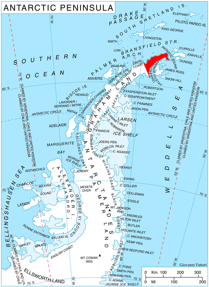
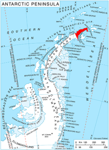 Location of Trinity Peninsula.
Corner Peak (63°35′S 58°39′W / 63.583°S 58.65°W) is a pyramidal peak (930 m) in northeastern Srednogorie Heights with considerable rock exposed on its north face. Located 8 nautical miles (15 km) east-southeast of Cape Roquemaurel, it marks a corner in the broad glacial valley of Malorad Glacier which rises immediately to the southeast and fans out northwest to form a piedmont ice sheet on the northwest side of Trinity Peninsula. Named by Falkland Islands Dependencies Survey (FIDS) following a 1946 survey.
Map
- Trinity Peninsula. Scale 1:250000 topographic map. Institut für Angewandte Geodäsie and British Antarctic Survey, 1996.
 This article incorporates public domain material from the United States Geological Survey document "Corner Peak" (content from the Geographic Names Information System).
This Trinity Peninsula, Antarctica, location article is a stub. You can help Wikipedia by expanding it.