Conway River (New Zealand)
Look at other dictionaries:
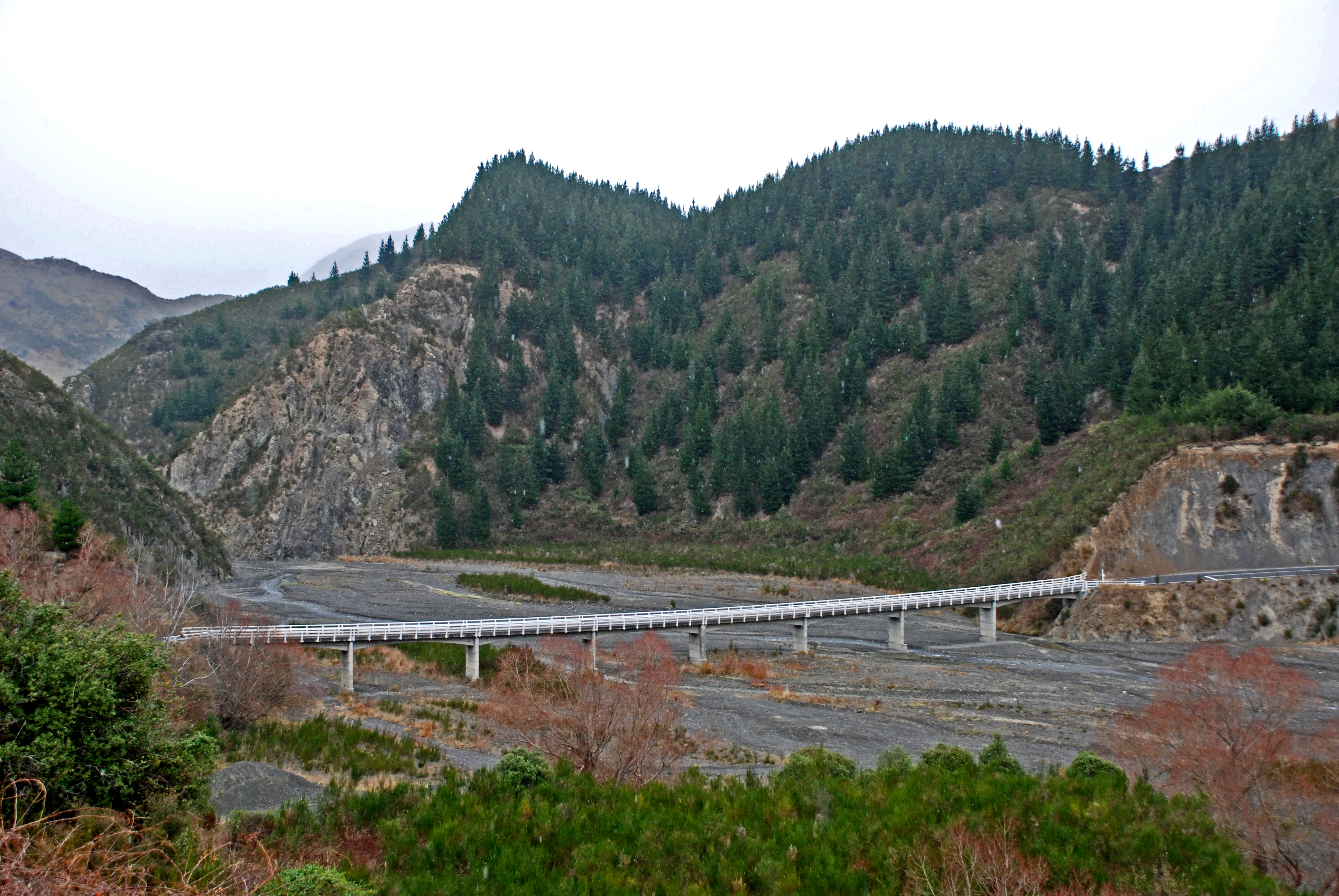
Conway River, New Zealand — The Conway River is part of the traditional boundary between the Canterbury and Marlborough regions in the South Island of New Zealand.It runs for thirty kilometres through the Hundalee Hills at the south end of the Seaward Kaikoura Mountains… … Wikipedia
Conway River — can refer to a number of rivers, including: Conway River, New Zealand Conway River (Virginia) For the river in North Wales, see River Conwy. This disambiguation page lists articles associated with the same title. If an … Wikipedia
Conway — may refer to: Contents 1 People 1.1 Surname 1.2 Given name 1.3 … Wikipedia
Main North Line, New Zealand — Main North Line Start of the Main North Line, heading north under the old Blenheim Road overpass in the distance, and to the left under the new Blenheim Road overpass to Christchurch railway station. Overview Type … Wikipedia
History of Canterbury, New Zealand — Pre 1840 Maori Period= IntroductionProbably no more than 500 Māori were living in Canterbury when European settlement began in the 1840s. These Māori, part of the Ngāi Tahu tribe which occupied the South Island of New Zealand, were remnants of a… … Wikipedia
List of rivers of New Zealand — This is a list of all waterways named as rivers in New Zealand. In a small number of cases, which have not been fully indexed here, there are multiple rivers bearing the same name; in these cases the notation (#) indicates the number of rivers… … Wikipedia
Canterbury, New Zealand — The New Zealand region of Canterbury ( mi. Waitaha) is mainly composed of the Canterbury Plains and the surrounding mountains. Its main city, Christchurch, hosts the main office of the Christchurch City Council, the Canterbury Regional Council… … Wikipedia
Cheviot, New Zealand — Cheviot town … Wikipedia
Kelso, New Zealand — Kelso was a small settlement in Otago, New Zealand, located ten kilometres north of Tapanui on the Kelso River, close to its junction with the larger Pomahaka River. Its population during the 1960s and 1970s was close to 300, with most of its… … Wikipedia
Clutha Mata-Au River Parkway Group — Upper Clutha Valley. The Clutha Mata Au River Parkway Group, New Zealand, was formed in October 2003, and is an Incorporated Society, with Charitable and Donee Status. The Group was set up in response to land development issues along the Clutha… … Wikipedia