- Comaloforno
-
Comaloforno 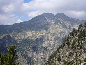
Elevation 3,029 m (9,938 ft) Listing Mountains in Catalonia Location la Vall de Boí (Alta Ribagorça)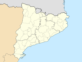
 Comaloforno
 Catalonia
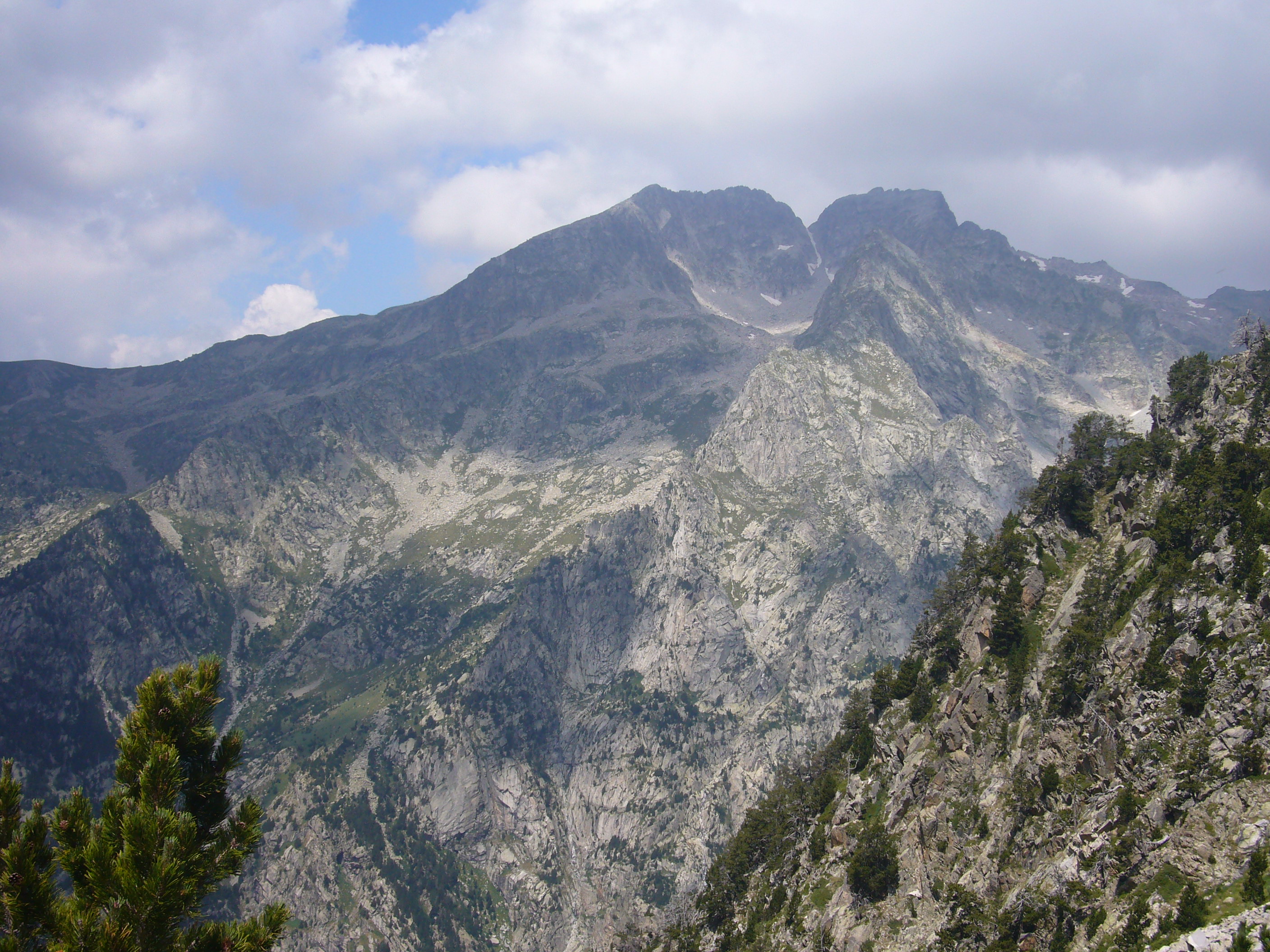
Range Pyrenees Coordinates 42°35′28″N 0°49′40″E / 42.59111°N 0.82778°ECoordinates: 42°35′28″N 0°49′40″E / 42.59111°N 0.82778°E Climbing First ascent Henry Brulle, Jean Bazillac and Célestin Passet on 25 - VII - 1882.[1] Easiest route From Estany de Cavallers Comaloforno is a mountain of the Pyrenees, Catalonia, Spain. With an altitude of 3029 metres above sea level, it is the highest summit of the Besiberri Massif.[2]
This mountain is located within the Aigüestortes i Estany de Sant Maurici National Park.
See also
References
- ^ COLL, Pep; ANIZ, Mercè i LUENGO, Víctor, Els tresors d'Aigüestortes i Sant Maurici. Lleida: Pagès Editors, 2002.
- ^ Mapa Topogràfic de Catalunya - Institut Cartogràfic de Catalunya
External links
Categories:- Mountains of Catalonia
- Mountains of the Pyrenees
- Catalonia geography stubs

Wikimedia Foundation. 2010.