- Columbia Heights (WMATA station)
-
Columbia Heights 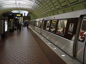
Station statistics Address 3030 14th Street NW
Washington, DC 20009Lines Yellow Line off-peak hoursConnections WMATA Metrobus, DC Circulator Structure Underground Platforms 1 island platform Tracks 2 Bicycle facilities 4 racks, 12 lockers Other information Opened September 18, 1999 Accessible 
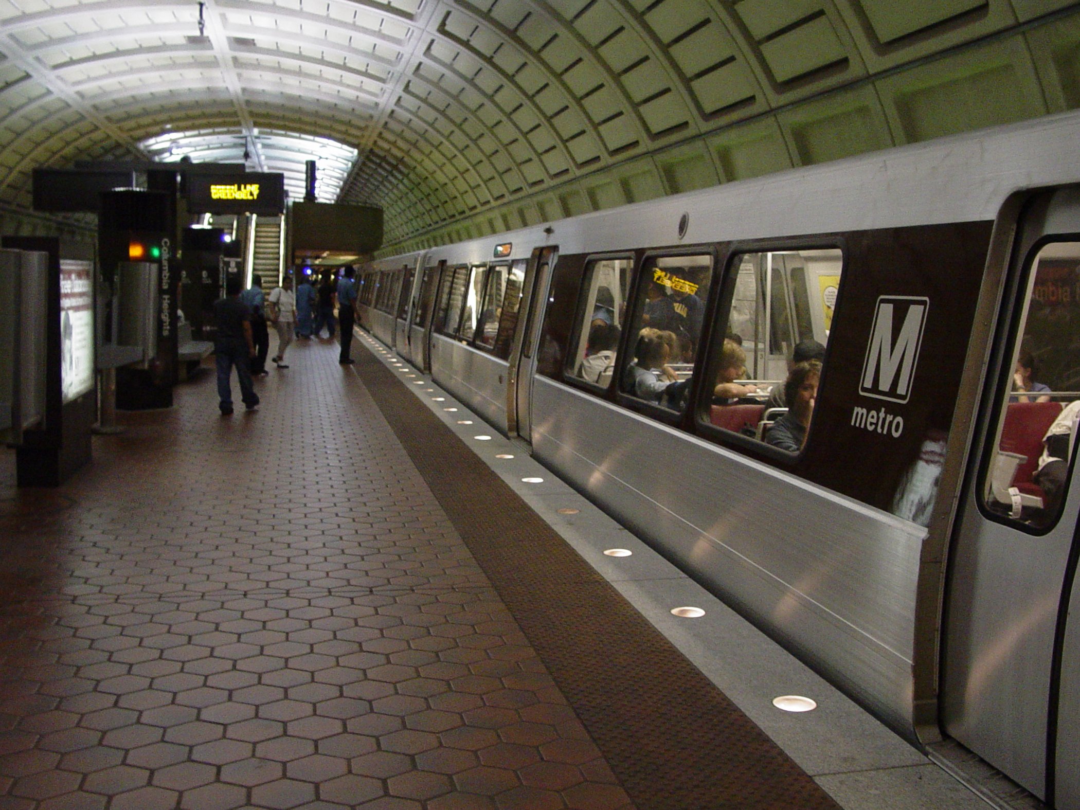
Code E04 Owned by WMATA Traffic Passengers (2010) 4.712 million[1] Services Preceding station Washington Metro Following station U Streettoward Branch AvenueGreen Line Georgia Avenue – Petworthtoward GreenbeltU Streettoward HuntingtonYellow Line Georgia Avenue – Petworthtoward Fort TottenColumbia Heights is a Washington Metro station in Washington, D.C., on the Green Line. It is also served by the Yellow Line during off-peak times. Due to successful redevelopment since the station's opening, Columbia Heights is one of the busiest Metro stops outside of the downtown core, with over four million exits in 2010.[1]
Contents
Location
The station is located in Northwest Washington at 14th and Irving Streets (entrances at both the Southwest and Northeast corners), serving both the Columbia Heights and Mount Pleasant neighborhoods. It is also close to the Adams Morgan neighborhood. Service began on September 18, 1999.
Public art
Installed in 1999, Woven Identities is a mural and wall sculpture located in the Metro station. Installed as part of the DC Commission on the Arts and Humanities public art agenda the piece was created by D.C. architect Megan Walsh and youth from Casa Del Pueblo Community Center. A series of painted panels, which appear like mosaics, the mural is abstract featuring faces representing the diversity of the Columbia Heights neighborhood. Neon lights of many colors glow from behind the framed painted mosaics.[2]
Gallery
-

Station entrance pylon
References
External links
 Media related to Columbia Heights (Washington Metro) at Wikimedia Commons
- WMATA: Columbia Heights Station
- StationMasters Online: Columbia Heights Station
- The Schumin Web Transit Center: Columbia Heights Station
- Irving Street entrance from Google Maps Street View
Coordinates: 38°55′43″N 77°01′57″W / 38.928718°N 77.032442°W
References
- ^ a b Neighborhood profiles WDCEP Retrieved 2011-10-19
- ^ WMATA (2010). "Columbia Heights Station". Art by Metro Line: Green Line. Washington Metropolitan Area Transit Authority. http://www.wmata.com/community_outreach/metroarts/artwork/green/col_woven_1.cfm. Retrieved 18 December 2010.
Categories:- Green Line (Washington Metro)
- Washington Metro stations in Washington, D.C.
- Yellow Line (Washington Metro)
- Public art in Washington, D.C.
- Black people in art
- Railway stations opened in 1999
-

Wikimedia Foundation. 2010.