- Mount Çika
-
Çika Location in Albania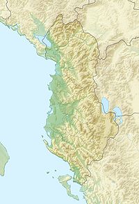
 Çika
ÇikaElevation 2,045 m (6,709 ft) Location Location  Albania
Coordinates 40°12′N 19°38′E / 40.2°N 19.633°ECoordinates: 40°12′N 19°38′E / 40.2°N 19.633°E Mount Çika (Albanian: Mali i Çikës) is a mountain in the south-western region of Albania bordering the Ionian Sea. The highest peaks of Çika are Maja e Çikës standing at 2,045m above sea level and Maja e Qorrës at 2,018m. Since the mountain is situated bordering the Ionian sea, it appears to be very high as it begins to rise at sea level(0m). The northern part of Çika is part of Llogara National Park. The port city of Vlora is 40 km north-west of Çika. On the peaks of Çika mountain there is a magnificent view of the northern Ionian Islands as well as the Italian coast of Puglia (Otranto). On the foot of the western side of the mountain there are small beaches which attract tourists during the summer months. These beaches include: Himarë, Palasa, Dhermi and Jala.
Llogara National Park
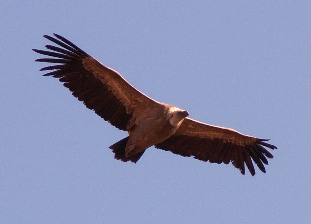
Main article: Llogara National ParkLlogara National Park lies between the Adriatic Sea and Ionian Sea. The park begins at 470m above sea level and rises to 2,018m at Maja e Qorrës which includes the northern part of Çika Mountain, forming Llogara Pass. Air currents at the Llogara Pass have caused trees to bend into many interesting shapes. For example Flag Pine, Pisha e Flamurit has the shape of the eagle on the Albanian flag. The stony surface of the Lightning Mountain, Vetëtima borders the park. The park has many opportunities for outdoor activities. The flora and fauna of Llogara National Park is very diverse consisting of both animals that live in the park's forests and mountain cliffs. Some of the best known animals include:
- Griffon Vulture
- Golden Eagle
- Fallow Deer, tame
- Roe Deer
- European Wildcat
- Chamois
- Red Squirrel
- Eurasian Otter
- European Badger
Categories:- Mountains of Albania
- Vlorë County geography stubs

Wikimedia Foundation. 2010.