- Church of St Michael and All Angels, Somerton
-
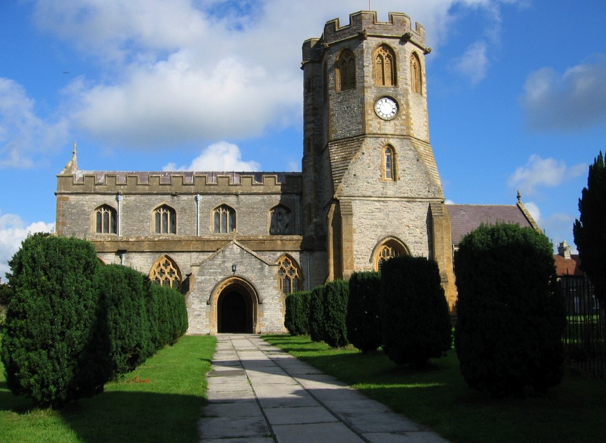
Church of St Michael and All Angels 
Location: Somerton, Somerset, England Coordinates: 51°03′16″N 2°43′37″W / 51.05444°N 2.72694°WCoordinates: 51°03′16″N 2°43′37″W / 51.05444°N 2.72694°W Built: 13th century Listed Building – Grade I Designated: 17 April 1959[1] Reference #: 262971 
 Location of Church of St Michael and All Angels in Somerset
The Church of St Michael and All Angels in Somerton, Somerset, England dates from the 13th century and has been designated as a Grade I listed building.[1]
The Anglican Church underwent a major reshaping in the mid 15th century, and further restoration in 1889. It is built of local lias stone cut and squared, with Hamstone dressing.[1]
It is notable for a carved roof, with lions and a small cider barrel purportedly carved by the monks of Muchelney Abbey. Sir John Betjeman was also inspired by an inscription on the candelabra. The church is quite plain on the outside but inside is one of the finest wooden carved roofs in the county. It is shallow pitched with massive, richly decorated tie beams and short king posts. The whole area of the roof is divided into square carved panels set in the framework of the structural timbers which are decorated with carved bosses where they intersect. There are 640 panels each carved with the same quatrefoil design. In the triangular spaces above each beam are twenty-two dragons facing each other in pairs. It is said there are bullet holes in the timbers, caused by soldiers who camped in the church in 1646 before the Battle of Langport. The 17th century pulpit and altar table are Jacobean woodwork.[2]
See also
- List of Grade I listed buildings in South Somerset
- List of towers in Somerset
References
- ^ a b c "Church of St Michael and All Angels". Images of England. English Heritage. http://www.imagesofengland.org.uk/details/default.aspx?id=262971. Retrieved 2009-06-15.
- ^ "St Michael & All Angels". Somerton Web Museum. http://www.somertonmuseum.org.uk/index.php?table=subcat&idnum=19. Retrieved 2007-09-24.
Categories:- Church of England churches in Somerset
- 13th-century architecture
- Grade I listed churches
- Grade I listed buildings in Somerset
- South Somerset

Wikimedia Foundation. 2010.