- Church of All Saints, East Pennard
-
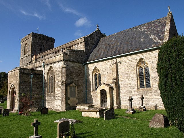
Church of All Saints 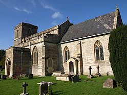
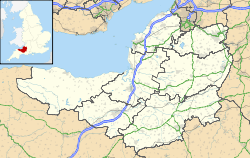
 Location within Somerset
General information Town or city East Pennard Country England Coordinates 51°08′07″N 2°34′42″W / 51.1352°N 2.5782°W Completed 14th century The Church of All Saints in East Pennard, Somerset, England dates from the 14th century. It is a grade I listed building.[1]
The tower contains a clock and five bells. They are the heaviest peal of five bells hung for English change ringing by rope and wheel.[2]
Inside the church is a Norman font and several stained-glass windows, also an altar screen and monuments of the Martines and Napiers.[1]
In 2011 fundraising was undertaken to raise the £60,000 needed to repair the roof.[3]
The parish is part of the Fosse Trinity benefice within the deanery of Shepton Mallet.[4]
See also
- List of Grade I listed buildings in Mendip
- List of towers in Somerset
References
- ^ a b "Church of All Saints". Images of England. http://www.imagesofengland.org.uk/details/default.aspx?id=268364. Retrieved 25 November 2006.
- ^ "Heavy Bells". Aspects of Ringing. Minor Strikerz. http://www.btinternet.com/~mike.dew/heavybells.html. Retrieved 14 October 2008.
- ^ "Couple unite their pedal power for church". Shepton Mallet Journal. 9 June 2011. http://www.thisissomerset.co.uk/Couple-unite-pedal-power-church/story-12740325-detail/story.html. Retrieved 26 September 2011.
- ^ "All Saints, East Pennard". Church of England. http://www.achurchnearyou.com/east-pennard-all-saints/. Retrieved 26 September 2011.
Categories:- 14th-century architecture
- Grade I listed churches
- Grade I listed buildings in Somerset
- Church of England churches in Mendip

Wikimedia Foundation. 2010.