- Chogha Mish
-
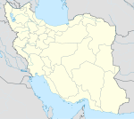
Tappeh-ye Choghā Mīsh (Iranian; ČOḠĀ MĪŠ) dating back to 6800 BC, is the site of a Chalcolithic settlement in Western Iran, located in the Khuzistan Province on the Susiana Plain. It was occupied at the beginning of 6800 BC and continuously from the Neolithic up to the Proto-Literate period.
Chogha Mish Location in Iran Coordinates: 32°12′33″N 48°32′46″E / 32.20917°N 48.54611°E Contents
History
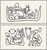
Chogha Mish was a regional center during the late Uruk period of Mesopotamia and is important today for information about the development of writing. At Chogha Mish, evidence begins with an accounting system using clay tokens, over time changing to clay tablets with marks, finally to the cuneiform writing system.
Archaeology
Excavations were conducted at the site between 1961 and 1978, for a total of 11 seasons by the Oriental Institute, under the direction of Pierre Delougaz and Helene Kantor.[1][2][3] Unfortunately, the excavation's dig house at Qaleh Khalil was destroyed during the Iranian Revolution so many finds and records were either lost or destroyed.[4]
Notes
- ^ [1] Helene Kantor and P. Delougaz, Chogha Mish, Volume 1, Text: The First Five Seasons, 1961-1971, Oriental Institute Publication 101, 1996, ISBN 1-885923-01-5
- ^ [2] Helene Kantor and P. Delougaz, Chogha Mish, Volume 1, Plates: The First Five Seasons, 1961-1971, Oriental Institute Publication 101, 1996, ISBN 1-885923-01-5
- ^ [3] Abbas Alizadeh, Chogha Mish, Volume II. The Development of a Prehistoric Regional Center in Lowland Susiana, Southwestern Iran: Final Report on the Last Six Seasons of Excavations, 1972-1978, Oriental Institute Publications 130, 2008, ISBN 1-885923-52-X
- ^ Abbas Alizadeh, Excavations at the Prehistoric Mound of Chogha Bonut, Khuzestan, Iran, Seasons 1976/77, 1977/78, and 1996, Oriental Institute Publications 120, 2003, ISBN 1-885923-23-6
References
- Helene J. Kantor, The Elamite Cup from Chogha Mish, Iran, vol. 15, pp. 11-14, 1977
- Abbas Alizadeh, A Protoliterate Pottery Kiln from Chogha Mish, Iran, vol. 23, pp. 39-50, 1985
See also
External links
Coordinates: 32°13′23″N 48°33′17″E / 32.223149°N 48.554634°E
Categories:- Archaeological sites in Iran
- Populated places in Khuzestan Province
- Ancient cities
- Former populated places in Iran
- Fertile Crescent
- Clay tablets
Wikimedia Foundation. 2010.


