- Muttenhorn
-
Not to be confused with Mutthorn.
Muttenhorn 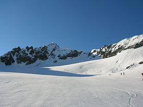
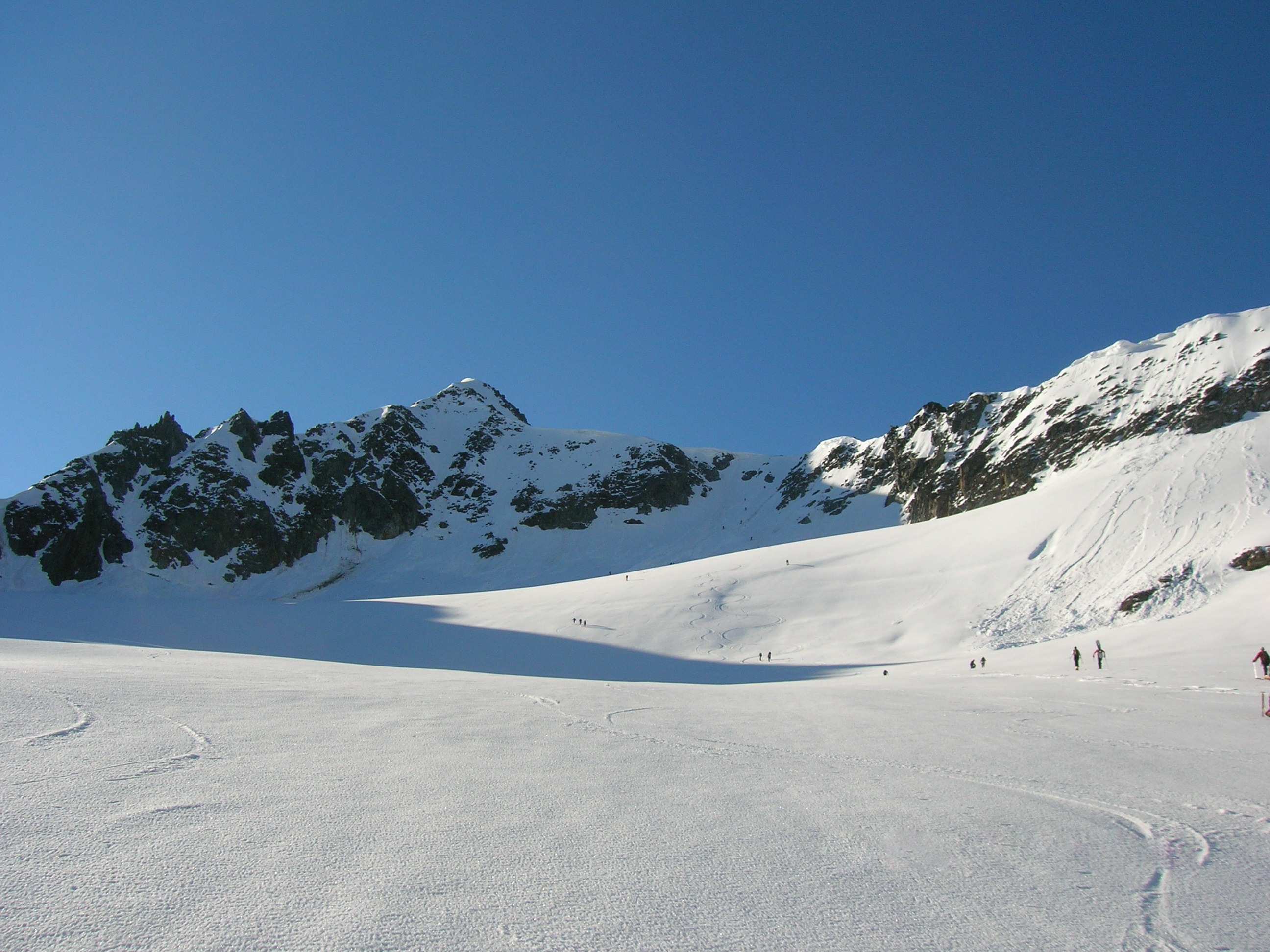
The Mutthorn seen from the north-west sideElevation 3,099 m (10,167 ft) Prominence 292 m (958 ft) [1] Parent peak Pizzo Rotondo Location 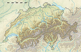
 Muttenhorn
 Switzerland
Range Lepontine Alps Coordinates 46°32′47.5″N 8°25′38″E / 46.546528°N 8.42722°ECoordinates: 46°32′47.5″N 8°25′38″E / 46.546528°N 8.42722°E The Muttenhorn is a mountain in the Lepontine Alps, located on the border between the cantons of Valais and Uri. At 3,099 metres above sea level, it overlooks the south side of Furka Pass. A glacier named Muttgletscher lies over its north-western flanks, above 2,600 metres.
The summit is also distinguished by the name Gross Muttenhorn, other lower summits being named Chli Muttenhorn (3,024 metres) and Stotzig Muttenhorn (3,062 metres). The whole range is referred as the Muttenhörner.
References
External links
Categories:- Mountains of the Alps
- Mountains of Switzerland
- Switzerland stubs
Wikimedia Foundation. 2010.