Chiribiquete National Park
- Chiribiquete National Park
-
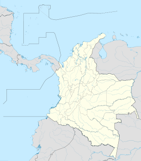
Chiribiquete National Park (PNN Serranía de Chiribiquete) is the largest national park in Colombia. This protected area occupies 12,800 square kilometres (4,900 sq mi) of the Amazon Region of Colombia. The centerpiece of the protected area is the Chiribiquete Mountains, which are the western edge of the Guiana Shield.[2]
References
Categories:
- National parks of Colombia
- Colombia geography stubs
Wikimedia Foundation.
2010.
Look at other dictionaries:
List of national parks of Colombia — Natural parks of Colombia The protected areas of Colombia are grouped in the National System of Protected Areas. As of 2008, it has 58 natural national parks which cover about 12,579,081 ha and represent more than 10% of the country s continental … Wikipedia
Principal national parks of the world — ▪ Table Principal national parks of the world Africa Europe and Russia Asia North America and the Caribbean Australia and Oceania South America Africa country national park date area description protected status national park status square miles… … Universalium
Collared titi — Collared titi[1] Conservation status Least Concern (IUCN 3.1)[2] … Wikipedia
Wattled Curassow — Female at the National Aviary Note reddish buff crissum Conservation status … Wikipedia
Guiana Shield — The Guiana Shield [The term Guiana or The Guianas is often used as a collective name for Guyana, Suriname and French Guiana, and sometimes even includes the portions of Colombia, Venezuela and Brazil which are on the Guiana Shield.] ( es.… … Wikipedia
Isolierte Völker — sind ethnische Gruppen, die nur geringfügigen oder kurzzeitigen Kontakt mit der globalisierten Gesellschaft aufgenommen haben. Meist bezieht sich diese Bezeichnung nicht auf indigene Gruppen der Vergangenheit, sondern fast immer der jüngsten… … Deutsch Wikipedia
Aires protégées en Colombie — Carte des parcs naturels colombiens Les aires protégées de Colombie sont gérées par le Sistema Nacional de Áreas Protegidas ou SINAP (en français Système National de Zones Protégées). En 2008, la Colombie comptait 58 parcs nationaux naturels… … Wikipédia en Français

