- Long Harbour (Hong Kong)
-
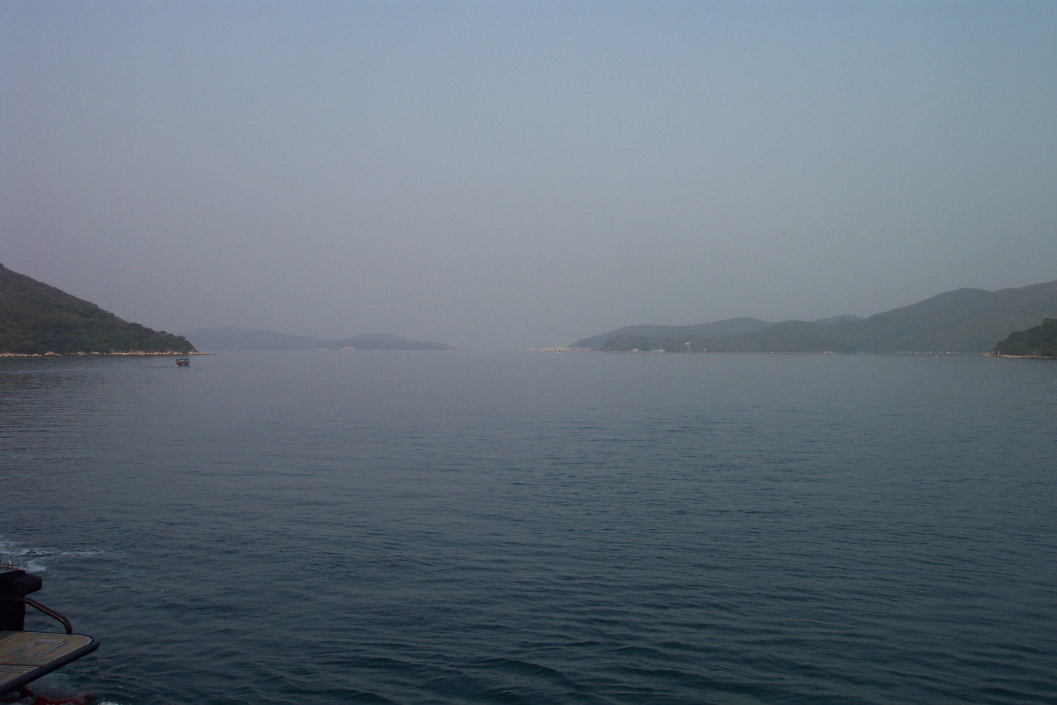
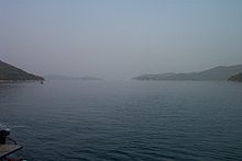 View down Long Harbour from the Wong Shek Pier
Long Harbour, also known as Tai Tan Hoi (大灘海), is a natural harbour formed from an inlet of Mirs Bay to the north of Sai Kung Peninsula, Hong Kong.
The harbour is elongated in shape, with its mouth guarded by the island of Tap Mun (塔門). The inner stretch of the harbour is split into two arms by Tung Sam Kei Shan (Long Hill) at Tung Sam Kei Tsui. The East Arm, Chik King Hau, points to Chik King and the West Arm, Ko Tong Hau, points to Wong Ma Tei and Ngau Wu Tun.
Several remote settlements, without road access, exist on the shores of Long Harbour and the nearby islands, including Tap Mun, Wan Tsai (灣仔) and Chek Keng (赤徑). Kai-to ferry routes operate to these from Wong Shek Pier, a road connected pier at the head of the West Arm, and Ma Liu Shui, on the MTR West Rail line near the new town of Sha Tin.
See also
Ports and harbours of Hong Kong Harbours Aberdeen, Hong Kong · Crooked Harbour · Double Haven · Gin Drinkers Bay · Hebe Haven · Holt's Wharf · Inner Port Shelter · Long Harbour · Mun Tsai Tong · Port Shelter · Rocky Harbour · Starling Inlet · Tai Tam Harbour · Three Fathoms Cove · Tolo Harbour · Tsing Yi Tong · Victoria HarbourPorts Kwai Tsing Container Terminals (Container Terminal 9 · Hongkong International Terminals Ltd. · Modern Terminals Limited) · River Trade TerminalCoordinates: 22°27′08″N 114°20′51″E / 22.45222°N 114.3475°E
Categories:- Tai Po District
- Ports and harbours of Hong Kong
- Sai Kung Peninsula
- Hong Kong geography stubs
Wikimedia Foundation. 2010.