- Chevington, Suffolk
-
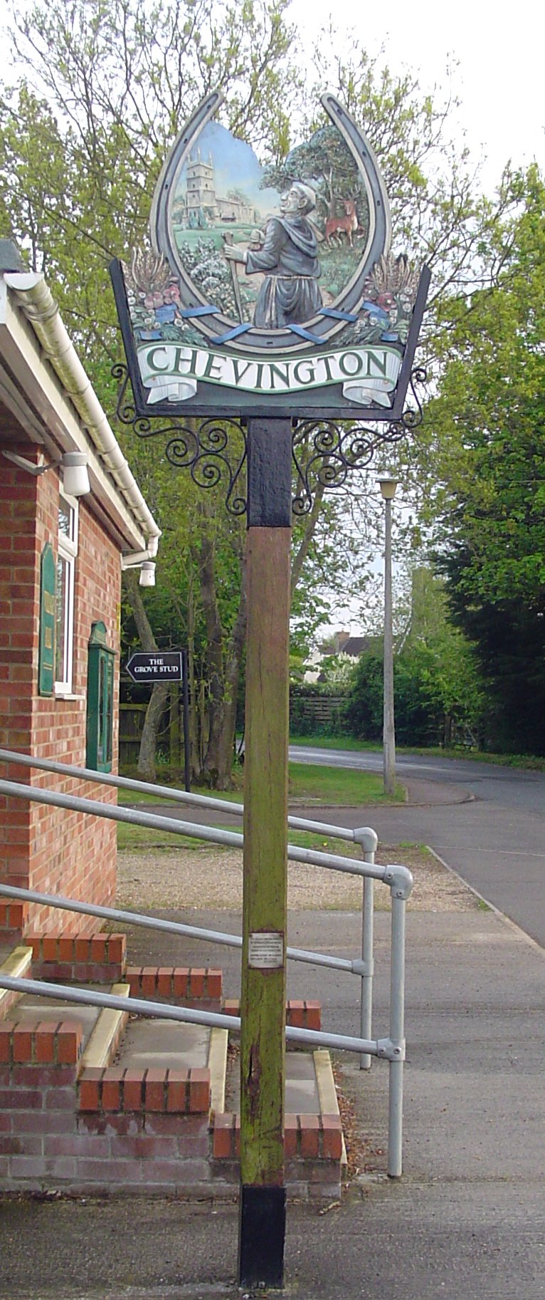
 Signpost in Chevington
Coordinates: 52°12′22″N 0°36′50″E / 52.206°N 0.614°E
Chevington 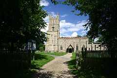
Church of St John the Baptist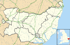
 Chevington
Chevington shown within SuffolkPopulation 630 [1] District St Edmundsbury Shire county Suffolk Region East Country England Sovereign state United Kingdom Police Suffolk Fire Suffolk Ambulance East of England EU Parliament East of England List of places: UK • England • Suffolk Chevington is a village and civil parish in the St Edmundsbury district of Suffolk in eastern England. Located around four miles south-west of Bury St Edmunds, in 2005 its population was 630.[1] The parish also contains the hamlets of Broad Green and Tan Office Green.
Contents
Demography
According to the Office for National Statistics, at the time of the United Kingdom Census 2001, Chevington had a population of 603 with 248 households.[2]
Population change
Population growth in Chevington from 1801 to 1891 Year 1801 1811 1821 1831 1841 1851 1881 1891 Population 445 490 590 573 624 600 556 545 Source: A Vision of Britain Through Time[3] Population growth in Chevington from 1901 to 2001 Year 1901 1911 1921 1931 1951 1961 2001 Population 457 471 466 417 358 373 603 Source: A Vision of Britain Through Time[3] Location grid
Neighbouring villages, and hamlets 
Barrow Great Saxham Horringer Hargrave 
Whepstead  Chevington

Depden Chedburgh Rede References
- ^ a b Estimates of Total Population of Areas in Suffolk Suffolk County Council
- ^ "Suffolk County Council - 2001 Census Profiles". http://www.suffolk.gov.uk/NR/rdonlyres/A546F6B2-3218-4537-9398-384E6BA430C5/0/CensusParishdata.pdf. Retrieved 2011-02-22.
- ^ a b "A Vision of Britain Through Time". University of Portsmouth & others. http://www.visionofbritain.org.uk/data_cube_page.jsp?data_theme=T_POP&data_cube=N_TOT_POP&u_id=10251953&c_id=10001043&add=N. Retrieved 2011-02-22.
External links
 Media related to Chevington, Suffolk at Wikimedia CommonsCategories:
- Suffolk geography stubs
- Villages in Suffolk
- Civil parishes in Suffolk


Wikimedia Foundation. 2010.