- Chepino Saddle
-
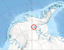 Location of Sentinel Range in Western Antarctica.
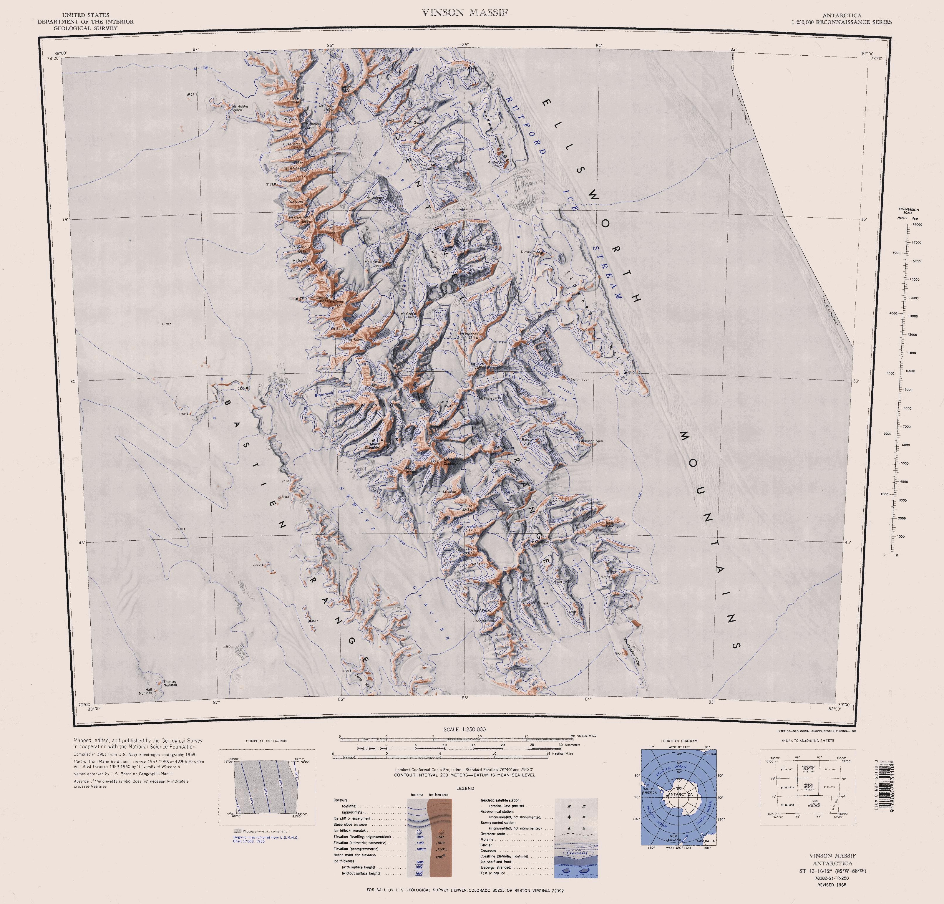
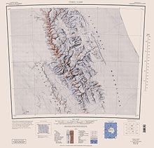 Sentinel Range map.
Chepino Saddle (Bulgarian: Чепинска седловина, ‘Chepinska Sedlovina’ \'che-pin-ska se-dlo-vi-'na\) is the saddle of elevation 2500 m in north-central Sentinel Range in Ellsworth Mountains, Antarctica, linking Probuda Ridge to the southwest to Bangey Heights to the northeast. It is part of the glacial divide between Embree Glacier to the north and Ellen Glacier to the south.
The saddle is named after the settlement of Chepino in Western Bulgaria and the homonymous Chepino Valley in Southern Bulgaria.
Location
Chepino Saddle is centred at 78°05′44″S 85°45′13″W / 78.09556°S 85.75361°W. US mapping in 1961, updated in 1988.
Maps
- Vinson Massif. Scale 1:250 000 topographic map. Reston, Virginia: US Geological Survey, 1988.
References
- Chepino Saddle. SCAR Composite Antarctic Gazetteer.
This article includes information from the Antarctic Place-names Commission of Bulgaria which is used with permission.

This Ellsworth Land location article is a stub. You can help Wikipedia by expanding it.