- Chastelhorn
-
Chastelhorn 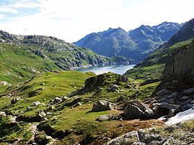
The Chastelhorn (background) from Lago di LucendroElevation 2,973 m (9,754 ft) Prominence 246 m (807 ft) [1] Parent peak Pizzo Centrale Location 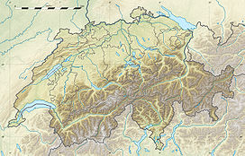
 Chastelhorn
 Switzerland
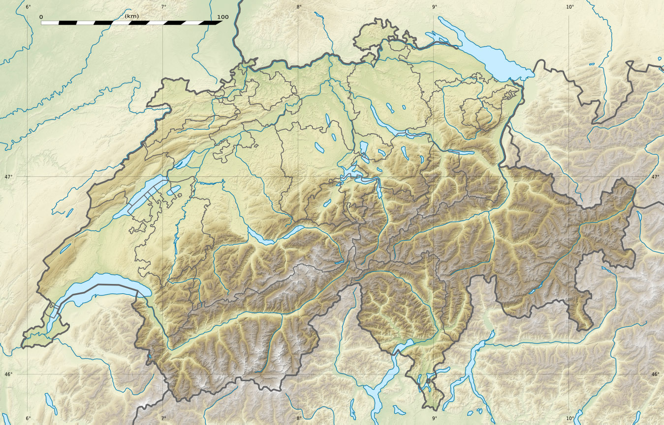
Range Lepontine Alps Coordinates 46°35′42″N 8°35′52.8″E / 46.595°N 8.598°ECoordinates: 46°35′42″N 8°35′52.8″E / 46.595°N 8.598°E The Chastelhorn is a 2,973 metres high mountain in the Lepontine Alps, overlooking Hospental in the canton of Uri. The northern flanks are covered by a glacier named St. Annafirn and a small lake (2,624 metres) lies south of the summit.
The massif of the Chastelhorn consists of several summits including the Gemsstock (2,961 metres) which is connected to Andermatt by a cable car.
References
External links
Categories:- Mountains of the Alps
- Alpine Three-thousanders
- Mountains of Switzerland
- Switzerland stubs

Wikimedia Foundation. 2010.