- Rio–Antirrio bridge
-
Rion-Antirion Bridge
Γέφυρα Ρίου - Αντιρρίου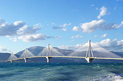
The piers of the Rion-Antirion bridge can slide on their gravel beds to accommodate tectonic movement.Official name Charilaos Trikoupis Bridge Carries 6 lanes, (2 lanes each way & 2 emergency lanes) & 1 pedestrian & bicycle lane Crosses Gulf of Corinth Locale  Rion & Antirion
Maintained by Gefyra SA Design Cable-stayed bridge by Berdj Mikaelian Total length 2,880 meters (9,450 ft) Width 27.2 meters (89 ft) Longest span 560 meters (1,840 ft) Opened August 7, 2004 Toll Cars: 12.90 €
Motorcycles: 1.80 €
Coaches: 28.20–60.80 €
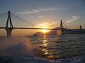
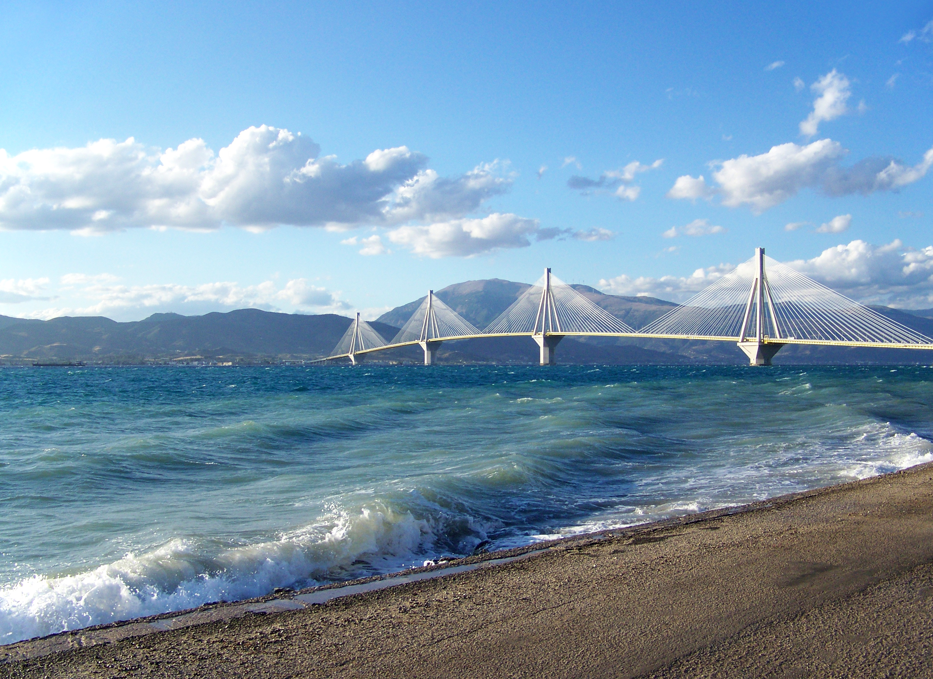
Trucks: 18.80–39.50 €Daily traffic Expected: 11,000 vehicles/day The Rion-Antirion bridge (Greek: Γέφυρα Ρίου-Αντιρρίου), officially the Charilaos Trikoupis bridge after the statesman who first envisaged it, is the world's longest multi-span cable-stayed bridge. It crosses the Gulf of Corinth near Patras, linking the town of Rion on the Peloponnese to Antirion on mainland Greece.
In 2011, the bridge was featured in an episode of Richard Hammond's Engineering Connections.
Contents
Name
Its official name is the Charilaos Trikoupis Bridge. Charilaos Trikoupis was a 19th century Greek prime minister, and suggested the idea of building a bridge between Rion and Antirion; however, the endeavour was too expensive at the time, when Greece was trying to get a late foot into the Industrial Revolution.
Location
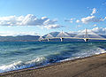
 The Rion–Antirion Bridge crossing the 3 km Corinth Gulf strait.
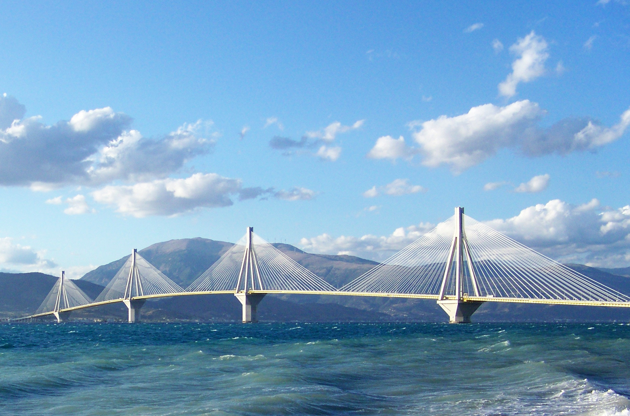
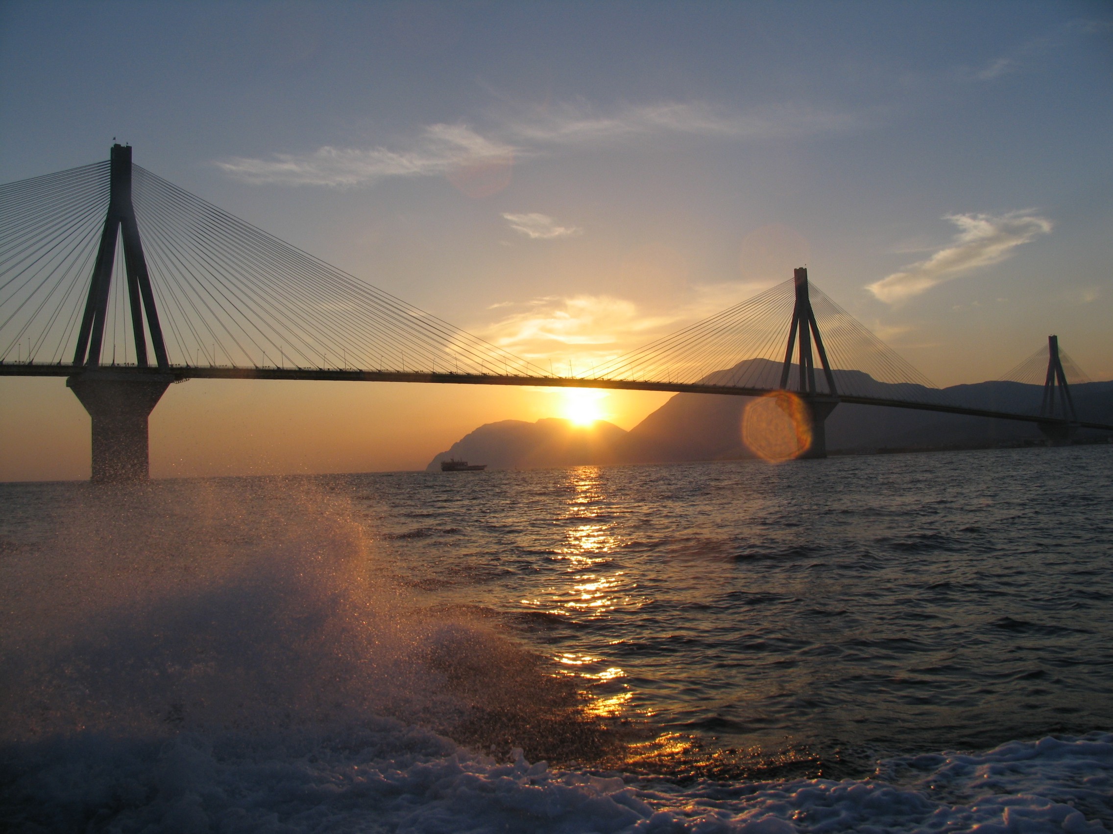
The 2,880 m (9,449 ft) long bridge dramatically improves access to and from the Peloponnese, which could previously be reached only by ferry or via the isthmus of Corinth at its extreme east end. Its width is 28 m (92 ft) — it has two vehicle lanes per direction, an emergency lane and a pedestrian walkway. Its five-span four-pylon cable-stayed portion of length 2,252 m (7,388 ft) is the world's second longest cable-stayed deck; only the deck of the Millau Viaduct is longer at 2,460 m (8,071 ft). However, as the latter is also supported by bearings at the pylons apart from cable stays, the Rion-Antirion bridge deck might be considered the longest cable-stayed "suspended" deck.
This bridge is widely considered[1] to be an engineering masterpiece owing to several solutions applied to span the difficult site. These difficulties include deep water, insecure materials for foundations, seismic activity, the probability of tsunamis, and the expansion of the Gulf of Corinth due to plate tectonics.
Construction
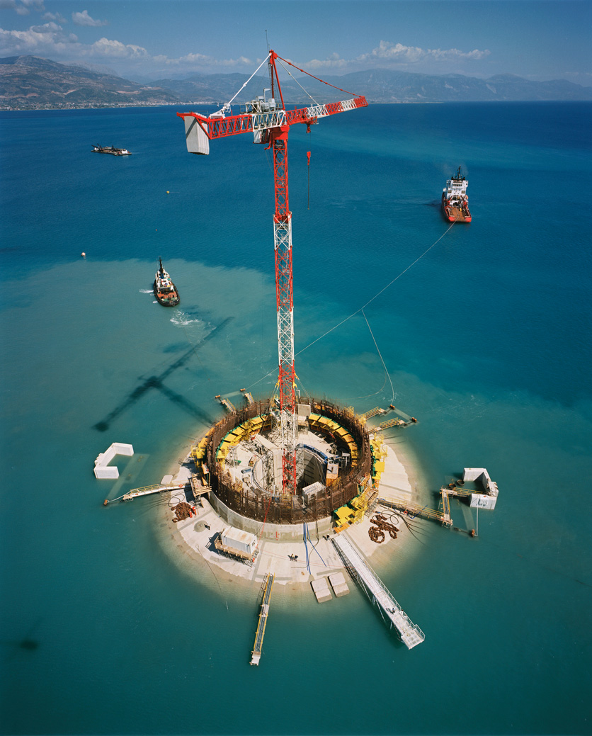
 Pylon construction
The bridge was planned in the mid-1990s and was built by a French-Greek consortium led by the French group Vinci, and which includes the Greek companies Hellenic Technodomiki-TEV, J&P-Avax, Athena, Proodeftiki and Pantechniki. The consortium operates the bridge under concession under its Γ.Ε.Φ.Υ.Ρ.Α. or ΓαλλοΕλληνικός Φορέας Υπερθαλάσσιας ζεύξης Ρίου- Αντιρίου (G.E.F.Y.R.A., Greek for "bridge", French-Greek Carrier of Oversea Connection of Rion-Antirion) subsidiary. The lead architect was Berdj Mikaelian. Site preparation and dredging began in July 1998, and construction of the massive supporting pylons in 2000. With these complete in 2003, work began on the traffic decks and supporting cables. On May 21, 2004, the main construction was completed; only equipment (sidewalks, railings, etc.) and waterproofing remained to be installed.
The bridge was finally inaugurated on August 7, 2004, a week before the opening of the 2004 Summer Olympics in Athens. Olympic torchbearers were the first to officially cross its length. One of them was Otto Rehhagel, the German football coach who won the Euro 2004 Championships for Greece. Another was Costas Laliotis, the former Minister of Public Works during whose term the project had begun.
The total cost of the bridge was about € 630,000,000, funded by Greek state funds, the consortium and loans by the European Investment Bank. It was finished ahead of its original schedule, which had foreseen completion between September and November 2004, and within budget.
Engineering Feats
Due to the peculiar conditions of the straits, several unique engineering problems needed to be considered. The water depth reaches 65 m, the seabed is mostly of loose sediment, the seismic activity and possibility of tectonic movement is significant, and the Gulf of Corinth is expanding at a rate of about 30 mm a year. For these reasons, special construction techniques were applied. The piers are not buried into the seabed, but rather rest on a bed of gravel which was meticulously leveled to an even surface (a difficult endeavor at this depth). During an earthquake, the piers should be allowed to move laterally on the seabed with the gravel bed absorbing the energy. The bridge parts are connected to the pylons using jacks and dampers to absorb movement; too rigid a connection would cause the bridge structure to fail in the event of an earthquake. It was also important that the bridge not have too much lateral leeway either so as not to damage the piers. There is provision for the gradual expansion of the strait over the bridge's lifetime.
 Elevation chart of the bridge.
The bridge received the 2006 Outstanding Structure Award from the International Association for Bridge and Structural Engineering.
Trouble with cable links
On 28 January 2005, six months after the opening of the bridge, one of the cable links of the bridge snapped from the top of the M3 pylon and came crashing down on the deck. Traffic was immediately halted. The first investigation claimed that a fire had broken out on the top of the M3 pylon, after a lightning strike in one of the cables. The cable was immediately restored and the bridge re-opened.
Monitoring System
A structural Health monitoring system was installed during construction on the bridge.[2] It is still in place today and provides a 24/7 surveillance of the structure. The system has more than 100 sensors, including:[3]
- 3D accelerometers on the deck, pylons, stay cables, and on the ground to characterize wind movements and seismic tremors
- Strain gauges and load cells on the stay cables and their gussets
- Displacement sensors on the expansion joints to measure the thermal expansion of the deck
- Water-level sensors on the pylon bases to detect infiltration
- Temperature sensors in the deck to detect freezing conditions
- Linear variable differential transducer (LVDT) sensors on the stay cables to measure movement
- Load cells on the restrainers for recalibration in the event of an earthquake
- Two weather stations to measure wind intensity, direction, air temperature, and relative humidity
One specific element of the system is the ability to detect and specifically treat Earthquake events.[4]
Gallery
-
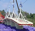
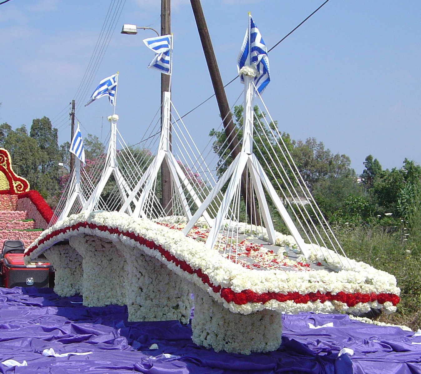
A carnival float in celebration of the bridge.
-
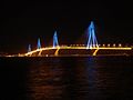
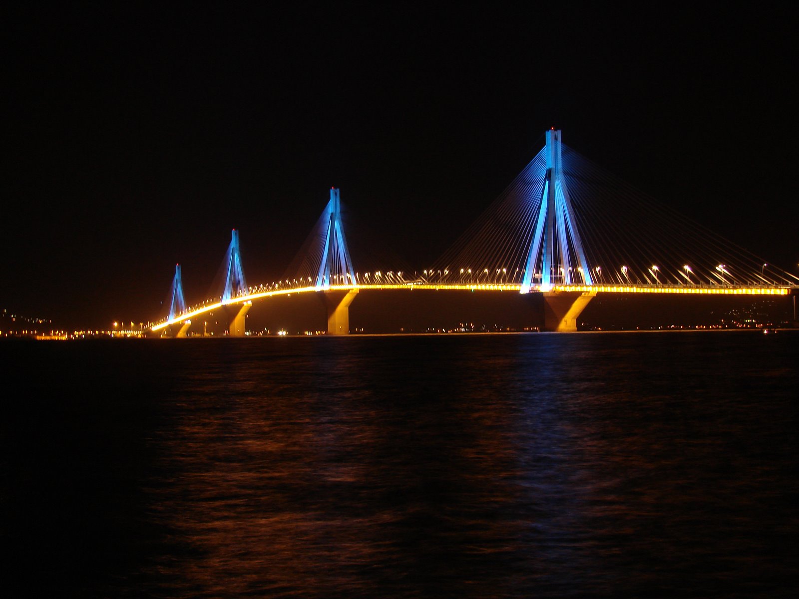
The bridge at night, various color combinations for the bridges illuminations are used.
-
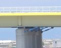
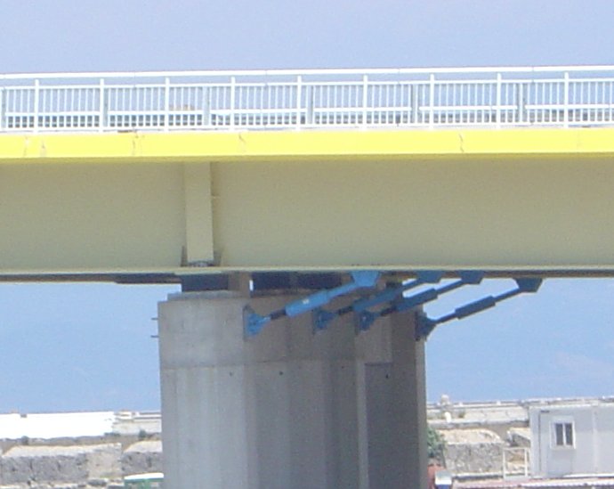
Jacks and dampers allow some leeway for ground movements.
-
The bridge height allows unobstructed navigation through the strait.
-

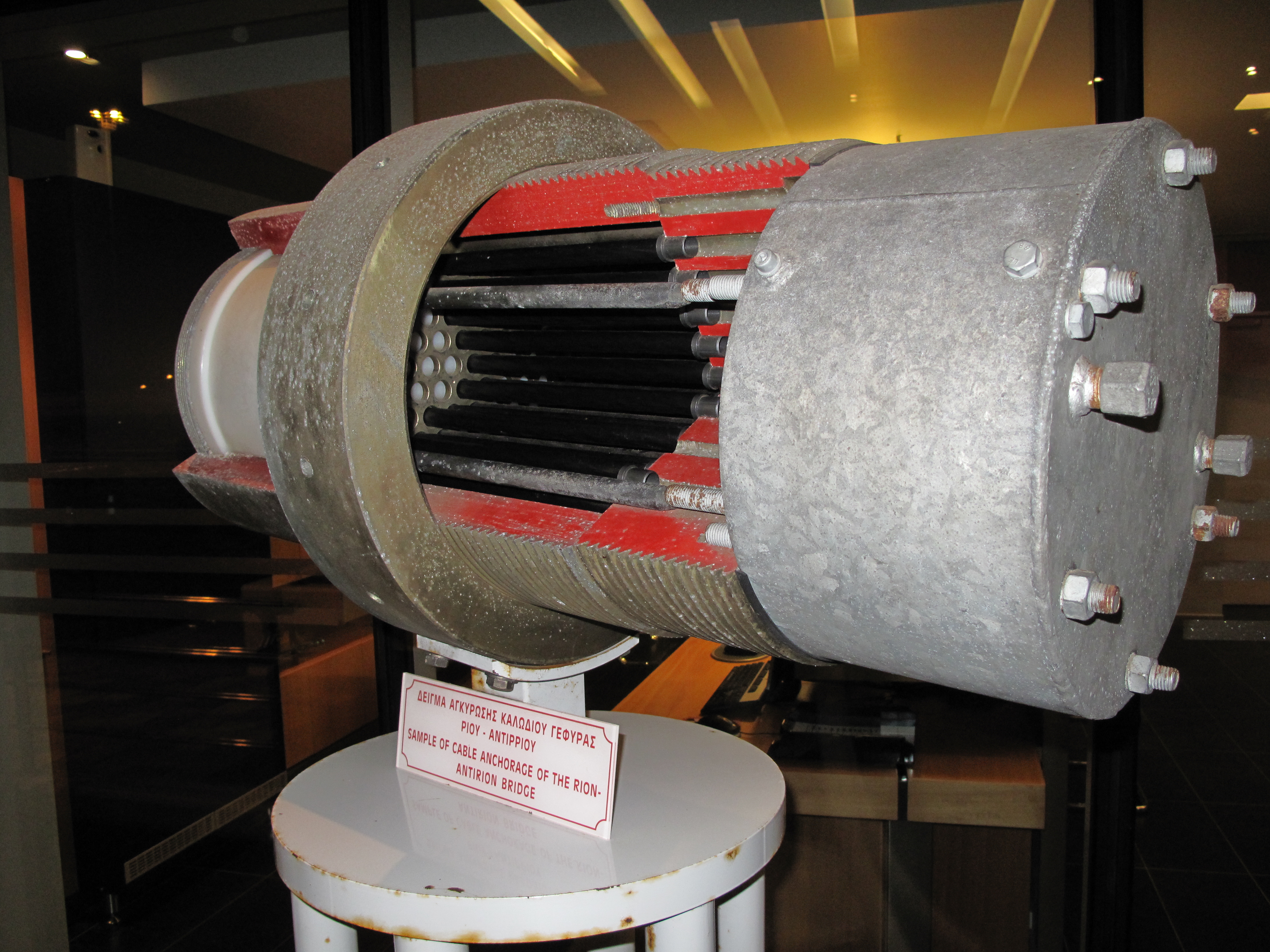
Sample of cable anchorage from the bridge museum in Antirrio.
-
The bridge during a windy day.
References
- ^ For example, in 2011 a BBC television programme was made about the engineering behind the bridge.
- ^ Specific Engineering Designs Used in Bridge Construction
- ^ National Instrument article: Detailed information about the technologies used for the sensors and acquisition unit
- ^ Rion Antirion SHM presented at a conference
External links
- Articles showing articulations Website in French
- Aerial Photos from Rio–Antirrio bridge
- Gefyra S.A. - official site
- Harilaos Trikoupis Bridge at Structurae
- Video of the bridge taken from cruise ship
- Timelapse video of the bridge during Earth Hour 2011 Timelapse showing how the bridge switched off & on the lights during Earth Hour 2011.
Coordinates: 38°19′17″N 21°46′22″E / 38.32139°N 21.77278°E
Categories:- Cable-stayed bridges in Greece
- Bridges completed in 2004
- Toll bridges
- Patras

Wikimedia Foundation. 2010.