- Rosso
Infobox Settlement
official_name = PAGENAME
native_name =
imagesize = 320px
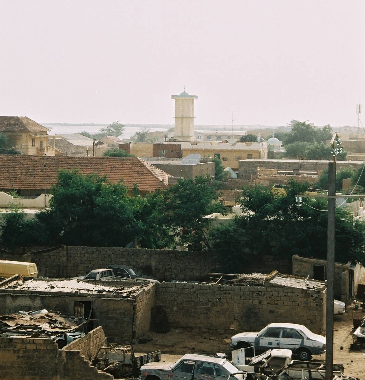
image_caption = Rosso mosque
image_
map_caption =
pushpin_
pushpin_label_position =bottom
pushpin_mapsize = 300
pushpin_map_caption =Location in Mauritania
subdivision_type = Country
subdivision_type1 = Region
subdivision_name =
subdivision_name1 =Trarza
subdivision_type2 =
subdivision_name2 =
established_title =
established_date =
government_type =
leader_title =
leader_name =
area_magnitude =
area_total_sq_mi =
area_total_km2 =
area_land_sq_mi =
area_land_km2 =
area_urban_sq_mi =
area_urban_km2 =
area_metro_km2 =
area_metro_sq_mi =
population_as_of=2002
population_footnotes =
population_total = 48, 922
population_urban =
population_metro =
population_density_sq_mi =
population_density_km2 =
timezone =
utc_offset =
timezone_DST =
utc_offset_DST =
latd=16|latm=30|lats=46|latNS=N
longd=15|longm=48|longs=18|longEW=W
elevation_footnotes=
elevation_m =
elevation_ft =
postal_code_type =
postal_code =
area_code =
website =
footnotes =Rosso is the major city of south-western
Mauritania and capital ofTrarza region. It is situated on theSenegal River at the head of year-round navigation. The town is 204 km south of the capitalNouakchott . The Arabic name is Al-Quwarib.Overview
Under French colonial rule
Senegal and Mauritania were administered as a single entity. When independence came, the new frontier was drawn along the Senegal River, thus splitting the small town of Rosso in two. This article refers to Mauritanian Rosso, on the northern bank of the river.Originally a staging-post for the
gum arabic trade, Rosso has grown rapidly since independence. From a population of a mere 2 300 in 1960 it has now overtakenKaédi to become the 3rd largest city in the country with 48 922 inhabitants (2000 census).South-western Mauritania is predominantly a
Wolof -speaking area but many members of Mauritania's other ethnic groups have moved to the town to escape the severe problems ofdesertification further north.Rosso's occupies a strategic position at the international ferry-crossing on the main road between Nouakchott and the Senegalese capital of
Dakar . Economically the town has benefited but its fortunes are very dependent on the state of relations between the two countries. From 1990-92 the border crossing was closed and there have been repeated movements of refugees in both directions through the town.Rosso has the highest annual rainfall in the country at 300mm/yr and is one of the market towns which serve the narrow strip of agricultural land stretching along the southern frontier of Mauritania. But even here the Sahara is encroaching. Major irrigation projects have been carried out on the northern bank of the Senegal River, financed by the
United Arab Emirates , allowing an expansion in the production ofcash crop s such as mint. In 2004 however up to 80% of crops were lost as a result of the infestation oflocust s which affected the whole of the westernSahel . This was followed by a severe drought. It was a bitter irony then that in August 2005 some 10,000 people were displaced by flooding.The city is near the
Diawling National Park .Rosso is also known for the internationally renowned [http://archnet.org/library/sites/one-site.tcl?site_id=266 Satara Zone Housing project] .
References
Wikimedia Foundation. 2010.

