- Český Jiřetín
-
Český Jiřetín — Municipality — 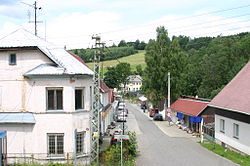
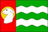
Flag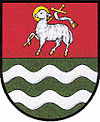
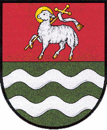
Coat of armsLocation in Most District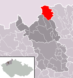 Location in the Czech Republic
 Český Jiřetín
Coordinates: 50°41′28″N 13°33′38″E / 50.69111°N 13.56056°ECoordinates: 50°41′28″N 13°33′38″E / 50.69111°N 13.56056°E Country  Czech Republic
Region Ústí nad Labem District Most Area – Total 33.6 km2 (13 sq mi) Elevation 725 m (2,379 ft) Population (2007) – Total 75 – Density 2.2/km2 (5.8/sq mi) Postal code 435 52 to 436 01 Website http://obecni-urad.net/source/index.php?ID=496 Český Jiřetín (German: Georgendorf) is a village and municipality (obec) in Most District in the Ústí nad Labem Region of the Czech Republic. The village is split across the Czech-German border - the German side is called Deutchgeorgenthal
The municipality covers an area of 33.6 square kilometres (13.0 sq mi), and has a population of 75 (as at 31 December 2007).
Český Jiřetín lies approximately 22 kilometres (14 mi) north of Most, 35 km (22 mi) west of Ústí nad Labem, and 91 km (57 mi) north-west of Prague.
References
See also: JiřetínTowns and villages of Most District Bečov · Bělušice · Braňany · Brandov · Český Jiřetín · Havraň · Hora Svaté Kateřiny · Horní Jiřetín · Klíny · Korozluky · Lišnice · Litvínov · Lom · Louka u Litvínova · Lužice · Malé Březno · Mariánské Radčice · Meziboří · Most · Nová Ves v Horách · Obrnice · Patokryje · Polerady · Skršín · Volevčice · Želenice
This Ústí nad Labem Region location article is a stub. You can help Wikipedia by expanding it.